One of the strongest earthquakes ever recorded struck eastern Russia on Wednesday, July 30, measuring 8.8 on the Richter scale. The quake, centered off the remote Kamchatka Peninsula, triggered immediate global concern about the risk of a devastating tsunami across the Pacific.
Memories of the 2004 Indian Ocean tsunami and the 2011 disaster in Japan resurfaced, both of which were caused by similarly powerful “megathrust” earthquakes and resulted in massive loss of life. Millions were evacuated as a precaution across coastal areas, but this time, the feared catastrophe did not materialize.
What Happened Beneath the Surface?
Kamchatka lies on the Pacific “Ring of Fire,” a zone of intense seismic activity where tectonic plates meet. Here, the Pacific Plate moves northwest at around 8 centimeters per year, colliding with the smaller Okhotsk microplate. Because the Pacific Plate is made of denser oceanic crust, it sinks beneath the lighter plate in a process called subduction.
This movement is not smooth. Over thousands of years, the plates can become locked together, building up stress until it’s released suddenly—triggering what geologists call a megathrust earthquake. According to Dr. Stephen Hicks, a seismology lecturer at University College London, such quakes rupture along faults that stretch for hundreds of kilometers, displacing massive volumes of earth.
The region is no stranger to such events: in 1952, a 9.0 magnitude quake occurred just 30 kilometers from Wednesday’s epicenter.
Why the Tsunami Was Smaller Than Expected
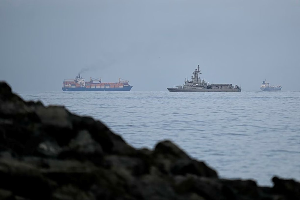
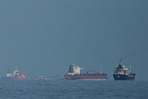
Despite the sheer power of the quake, the resulting tsunami was relatively modest. Local authorities reported waves up to 4 meters high—significant, but far from the towering, deadly surges seen in 2004 or 2011.
Several factors likely helped contain the tsunami:
- Depth of the quake: Though relatively shallow at 20.7 km below the surface, recent scientific models suggest it may have occurred deeper than first estimated. Even a 20 km difference in depth can significantly reduce the energy transferred to the ocean surface and the size of resulting waves.
- Shape of the ocean floor and coastline: According to Dr. Lisa McNeill, a tectonics professor at the University of Southampton, undersea topography and coastal geography can greatly influence the height and reach of tsunami waves. Narrow shelves or steep coastlines can dissipate energy, reducing inland impact.
- Nature of tectonic movement: Not all megathrust earthquakes cause the seafloor to shift in a way that displaces enough water to generate destructive tsunamis. The direction and scale of the rupture matter significantly.
In the open ocean, tsunami waves travel at speeds over 800 km/h—comparable to a commercial airliner—but their height is often less than a meter. Only when approaching shallow coastal waters do they slow down, compress, and rise into the dangerous “walls of water” familiar from past disasters.
The Role of Early Warning Systems
A major difference this time was preparedness. Since 2004, countries across the Pacific have invested heavily in tsunami monitoring and early warning systems. Specialized centers quickly analyzed the quake’s location and magnitude, issuing alerts and recommending evacuations.
Such systems did not exist when the 2004 Indian Ocean tsunami killed more than 230,000 people across 14 countries. This time, timely evacuations helped keep casualties and damage to a minimum.
While predicting exactly when a quake will occur remains beyond current science, modern networks use GPS and seismic data to calculate probabilities and track plate movement. However, as Dr. McNeill notes, these can only offer statistical forecasts—not precise predictions.
Aftershocks are expected to continue for weeks. Russia’s Geophysical Institute announced ongoing monitoring in the region, warning that seismic activity could remain elevated throughout August.