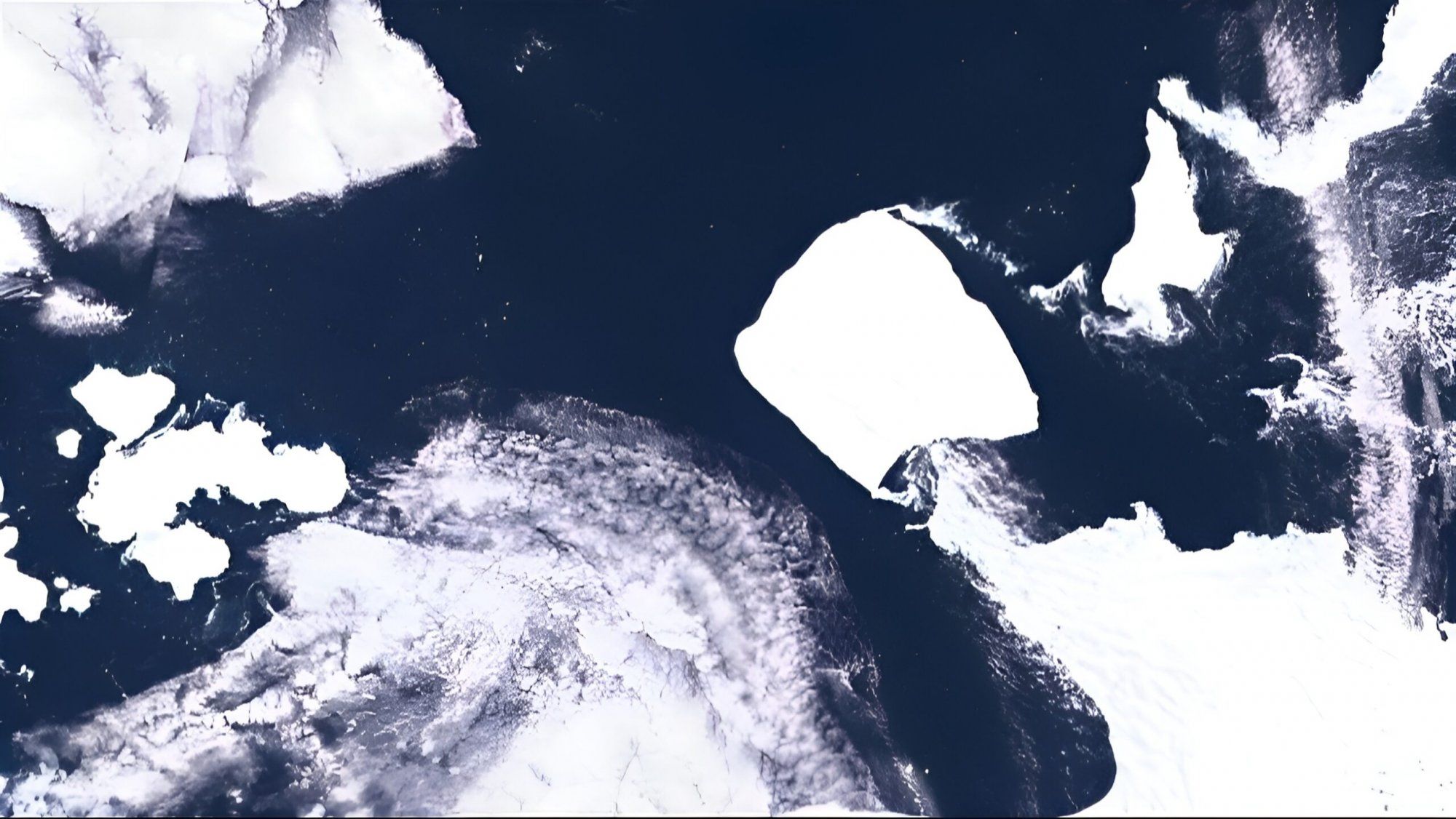
The world’s largest iceberg, known as A23a, embarked on a long journey across the Antarctic Ocean propelled by the Antarctic Circumpolar Current in November.

Scientists were able to use satellite measurements to gather data on the thickness of the iceberg for the first time this month, which allowed them to calculate the mass and volume of the gigantic block of ice.

“Satellites equipped with altimeters, such as CryoSat-2, allow us to monitor iceberg thickness from space, measuring the distance to both the iceberg’s surface and the sea surface,” says Dr. Ann-Christin Brakmann-Folgmann from the Arctic University of Norway.

The CryoSat-2 satellite measured the height of the iceberg above the surface and revealed that the iceberg is as thin as a credit card relative to its vast expanse, with an average thickness of just 280 meters.

With this new data, experts calculated that A23a has a volume of 1,100 cubic kilometers and a mass of 900 billion tons. The measurements indicate a steady thickness reduction of 2.5 meters per year over the last decade, consistent with the expected impact of water temperatures in the Weddell Sea, experts comment.

The iceberg separated from the Filchner Ice Shelf in 1986 but remained stationary on the seabed until 2020. Recent measurements show a prominent keel-like ice volume in its lower part, which likely contributed to grounding and immobilizing the iceberg for decades.

With the loss of enough mass over the years, however, A23a began drifting again. It has now reached the tip of the Antarctic Peninsula, a long strip of land extending from the white continent towards South America.

Scientists will closely monitor its course to see where it will end up in the coming years—possibly in the so-called “iceberg alley” outside the South Georgia and South Sandwich Islands, between Antarctica and the South Atlantic Ocean.