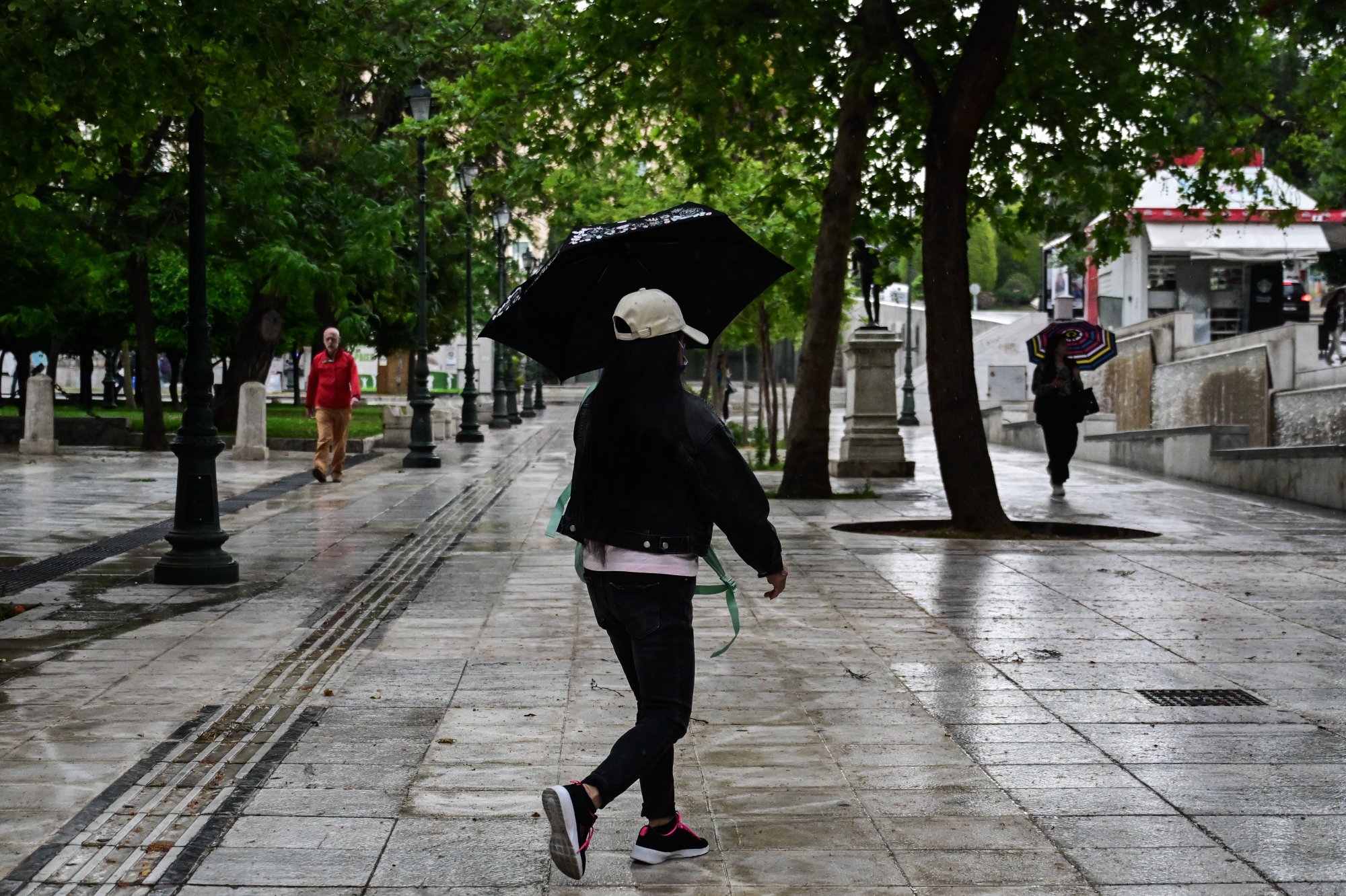
A sudden change in weather is expected over the weekend in Greece, with rainfall and thunderstorms anticipated around the country.
Meteorologist Sakis Arnaoutoglou posted a map of Greece on social media depicting the areas most likely to be affected by the weather front. He explains that green shades on the map indicate rain, while the darker the green the heavier the rainfall. Blotches of yellow and orange shades indicate a high chance of very heavy rainfall and thunderstorms.
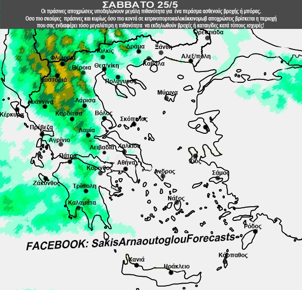
Most of the country, according to the map, will be affected by the bad weather on Sunday, with rainfall also expected in the Attica region. The intense phenomena on Sunday will seem to affect Florina, Kastoria, Ioannina, Karditsa, Lamia, Livadia, Corinth, Tripoli, and Kalamata the most.
The weather in Greece on Saturday
The weather in Greece today will start out generally clear across the country. Clouds, however, will form from midday onwards. Local rains are expected in the mainland and gradually in the Ionian, while isolated thunderstorms are also expected mainly in mountainous areas. In Macedonia, sporadic thunderstorms are anticipated, and will intensify in the western parts during the night.
Winds will blow west-northwest at 3 to 4 points on the Beaufort scale in the west. In the east, winds will blow north at 3 to 5 Beaufort, in the Aegean at 5 to 6 Beaufort, and in the southern Dodecanese up to 7 Beaufort.
Temperatures are expected to make a slight drop, reaching 27 to 30 degrees Celsius in the mainland and 26 to 28 degrees Celsius in the islands.