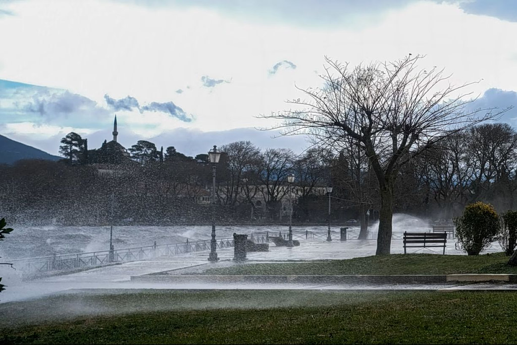
Parts of Upper Glyfada, a residential area in southern Athens, were left resembling a disaster zone after intense rainfall triggered severe flooding, sweeping away debris and burying dozens of cars under mud and rubble.
@alexandros_kapour #tiktokgreece #greece #glyfada #greekfreakout #likе ♬ original sound – Alexandros Kpouranis
Speaking to local media, geology professor Efthymios Lekkas said the worst of the weather had passed for the wider Athens region, although difficult conditions persist in parts of the eastern Aegean. He explained that the scale of destruction in Upper Glyfada was not unexpected and pointed to structural weaknesses that have existed for decades.
@forecastweathergreece
⛔️⚠️Αδιανόητη είναι η κατάσταση στην άνω Γλυφάδα. Ενώ κατεβαίνει ο χείμαρρος Η κυρία που βλέπετε στο βίντεο αγνοεί τον κίνδυνο και πάει να περάσει απέναντι. video Πάνος Καλλίδης
♬ πρωτότυπος ήχος – ForecastWeatherGreece

Urban Planning and Geological Factors
According to Lekkas, much of the development in the area—particularly residential expansion—took place without adequate urban planning, land-use studies or effective flood prevention measures. As a result, the region remains highly vulnerable to extreme weather events.
The southern slopes of Mount Hymettus, which rise above Upper Glyfada, are composed largely of limestone and schist. Schist, in particular, erodes easily, producing large volumes of loose material that can be carried downhill during heavy rain.
@topontiki.gr Εικόνες-ντροπής στην Άνω Γλυφάδα #γλυφαδα #βροχη #news #greecetiktok #Αθηνα ♬ πρωτότυπος ήχος – Topontiki.gr
Rainfall and Debris Amplified the Flooding
In some parts of the wider Athens area, rainfall reached 140 millimetres in a short period. Beyond the sheer volume of water, experts highlighted the role of sediment and debris washed into streets and drainage systems. These solid materials dramatically increased the force and volume of floodwaters as they rushed toward lower-lying areas at high speed.
@nikosferkos #glyfada ♬ Raining Outside – Sound Library XL
Lekkas described the situation as a “long-inherited vulnerability,” arguing that development often preceded proper risk assessment. “We built first and addressed the problems later,” he said, stressing the need for hazard mapping before future urban planning.