
The European Union’s Copernicus Sentinel-4 mission has captured its first detailed image of air pollution stemming from nitrogen dioxide, and other harmful gases, across southern Europe, including in over Athens, Greece.
The image is based on data acquired on 8 October 2025, and shows tropospheric nitrogen dioxide concentrations with clear pollution hotspots along the Mediterranean coast, including the greater Athens region called Attica, and over Italy’s Po Valley. Sentinel-4 also measured levels of sulphur dioxide and ozone, pollutants closely linked to fossil-fuel combustion and urban activity.
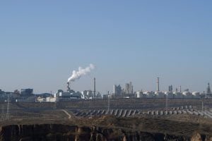
Nitrogen dioxide (NO₂) is a major air pollutant emitted by vehicle engines, power plants and heating systems, explained Copernicus in its announcement. It is toxic on its own and contributes to the formation of ozone and fine particulate matter, both of which pose significant risks to human health and the environment. Concentrations can fluctuate rapidly depending on weather, traffic and industrial output.
Although the findings are preliminary, they represent a major milestone in Europe’s capacity to monitor air quality and air pollution from geostationary orbit, 36,000 kilometers above Earth, notes Copernicus. From this vantage point, Sentinel-4 can deliver hourly observations over Europe and North Africa, enabling scientists and policymakers to track pollution events in near real time.
Operated jointly by the European Space Agency (ESA) and EUMETSAT, the Sentinel-4 mission forms part of the EU’s Copernicus Earth-observation program, which provides open data to improve environmental protection, climate policy and public-health planning across member states.
The first images highlight how Copernicus satellites can improve air-quality monitoring across Europe and the Mediterranean region.