Tuesday will bring a noticeable shift toward wetter, more unsettled conditions across Greece. Rain will begin early in the Ionian Islands and western mainland, with the heaviest showers and thunderstorms developing in the northern Ionian and Epirus. These areas should expect localized downpours and occasional lightning, especially through midday and early afternoon.
By late afternoon, scattered showers will also reach the Cyclades and Crete. Overnight, rain and thunderstorms are forecast to move into parts of the northeastern Aegean islands and Thrace, marking the advance of the system eastward.
Temperatures will remain mild for late November. Western Macedonia will range from 36°F to 55°F (2°C to 13°C). The rest of Macedonia and Thrace will reach 39°F to 61–64°F (4°C to 16–18°C). Thessaly will see 39°F to 61–64°F (4°C to 16–18°C), while Epirus will vary between 46°F and 61°F (8°C to 16°C).
Across the remaining mainland, temperatures will run from 45°F to 64–68°F (7°C to 18–20°C). The Ionian Islands will range from 57°F to 64°F (14°C to 18°C). The Aegean islands and Crete will remain relatively warm, from 46°F up to 66–72°F (8°C to 19–22°C).
Winds will play a significant role in the day’s weather. In the northern Aegean, southerly winds of 4–5 Beaufort will prevail. The southern Aegean will see similar strengths from the south to southwest, while the Dodecanese will experience northwesterly winds at the same intensity. The Ionian Sea will face strong southerly winds of 5–6 Beaufort, locally reaching 7 Beaufort in northern areas.
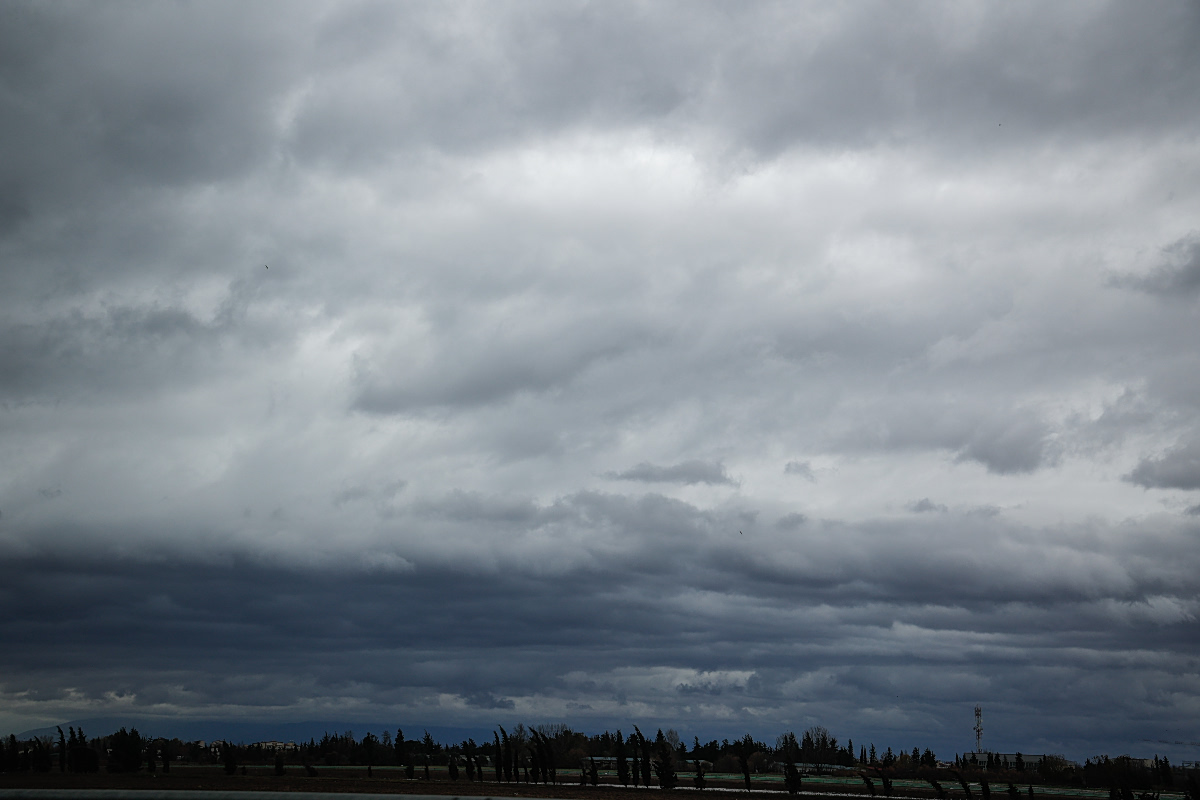
In Athens (Attica), expect periods of increased cloud cover. Winds from the southwest will blow at 3–5 Beaufort, and temperatures in the city center will range from 55°F to 64–66°F (13°C to 18–19°C).
In Thessaloniki, clouds will thicken at times throughout the day. Winds will come from the east-southeast at up to 4 Beaufort. Temperatures will range from 50°F to 63°F (10°C to 17°C).