Sunny weather will prevail across most of Greece on Wednesday, with intense heat continuing mainly in the west and north.
At the same time, strong meltemi, the seasonal northerly winds that affect the Aegean, will continue, reaching 7 and temporarily 8 on the Beaufort scale in some areas. The winds will keep conditions cooler in eastern Greece and the islands.
The weather pattern is expected to gradually change from Thursday, with more rain mainly in northern Greece and a slight drop in temperatures. Winds will strengthen further Friday, bringing a noticeable nationwide decline in temperatures and a cooler weekend.
Wednesday, August 12
Wednesday will be generally clear, with sunshine across almost the entire country. A few temporary clouds will develop around midday and in the afternoon over mountainous mainland areas, particularly in the mountains of Epirus, where brief and light local rain or showers are possible.
Northerly winds will reach 2 to 4 Beaufort in the Ionian Sea. In the Aegean, they will remain particularly strong at 4 to 6 Beaufort, locally reaching 7 and temporarily 8 Beaufort.
Temperatures will remain largely unchanged. The most intense heat will persist mainly in western and northern Greece, while stronger meltemi winds will keep eastern areas and the Aegean cooler.
Temperatures will reach 35 to 37 degrees Celsius across much of the country, while locally reaching 38 to 39 degrees in mainland areas, particularly the west. Temperatures in the Cyclades will remain at 30 to 31 degrees.
Athens
Athens will have clear skies and sunshine throughout the day.
Temperatures will range from 24 to 35 degrees Celsius, with areas in the east and north about 2 to 3 degrees cooler. Northerly winds will blow at 4 to 6 Beaufort, locally reaching 7 to 8 Beaufort in eastern areas.
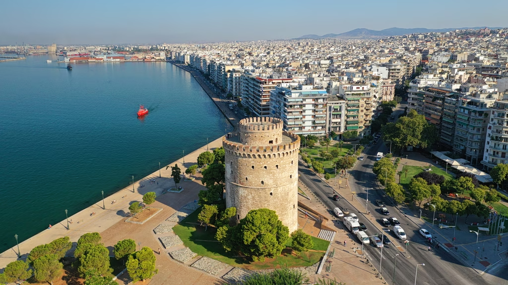
Thessaloniki
Thessaloniki will also have generally clear skies and predominantly sunny weather.
Temperatures will range from 23 to 37 degrees Celsius, while winds will be variable at 2 to 4 Beaufort.
Thursday, August 13
The heat will begin to gradually ease Thursday, while strong meltemi winds persist.
Most areas will remain generally clear with plenty of sunshine. From midday, however, clouds will develop in Macedonia and Epirus, bringing local rain or showers. Isolated thunderstorms are also possible, particularly in mountainous areas.
Northerly winds will reach 2 to 4 Beaufort and locally 5 in the Ionian Sea. In the Aegean, they will remain particularly strong at 4 to 6 Beaufort, locally reaching 7 to 8 Beaufort.
Temperatures will fall slightly in most areas, reaching 33 to 36 degrees Celsius and locally 37 to 38 degrees in western Greece.
Friday, August 14
More unsettled weather is expected Friday, particularly in western and central Macedonia and Thessaly, where temporarily increased cloud cover will bring local rain and scattered thunderstorms.
Elsewhere, conditions will remain generally clear with plenty of sunshine. Some local cloud cover is expected in Crete and the Dodecanese, while clouds will also develop around midday and in the afternoon in Epirus and western Central Greece, bringing local rain or showers. Scattered thunderstorms are also possible in Epirus.
Northerly to northeasterly winds will strengthen further, reaching 3 to 4 Beaufort and locally 5 in the Ionian Sea. In the Aegean, winds will reach 5 to 7 Beaufort and locally 8, with a temporary increase to 9 Beaufort possible.
Temperatures will drop noticeably across the country, marking a cooler shift in the weather ahead of the weekend.