
 Μake us preferred on Google
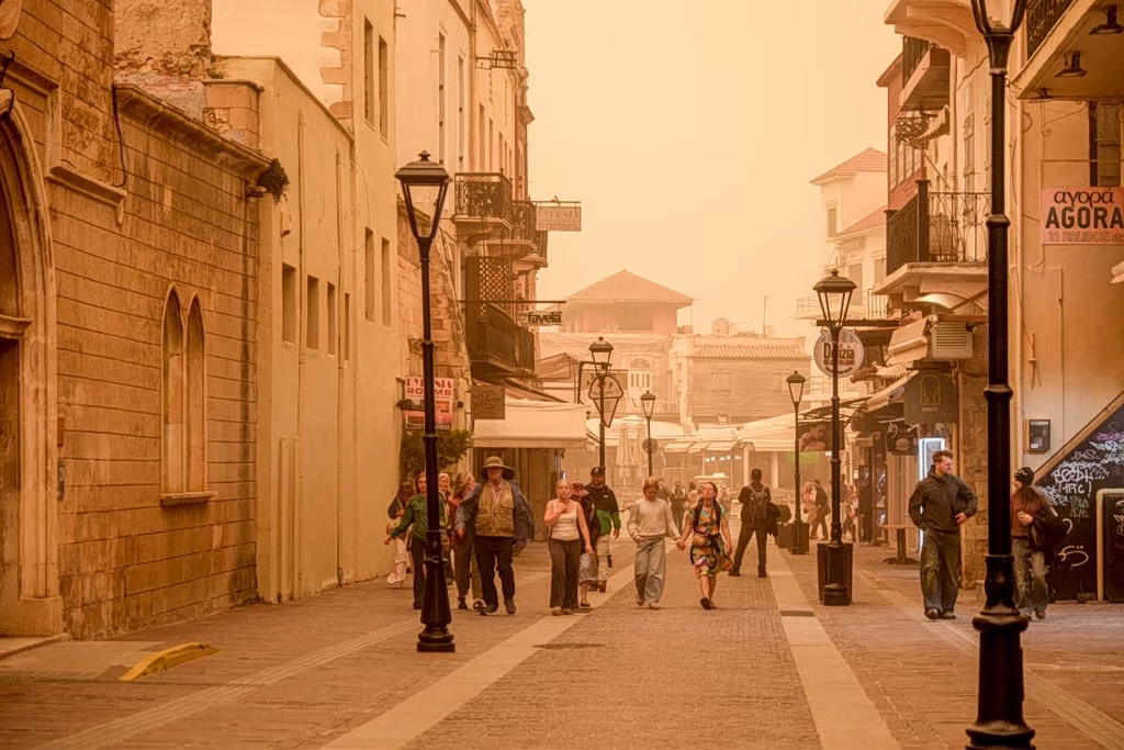
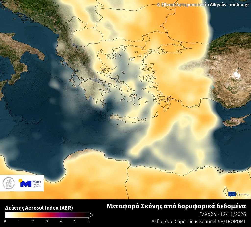
Southerly winds are transporting warm air masses and mineral dust from North Africa across the eastern Mediterranean.
According to the National Observatory of Athens’ meteo.gr service, dust concentrations are expected to increase on Friday, with western Greece, the Cyclades and Crete facing the greatest impact. The episode is forecast to begin easing on Saturday as the southerly flow weakens.
Low-pressure systems moving east from the western Mediterranean are expected to bring rain initially to western Greece before affecting other parts of the country.
The main areas of concern on Friday are the northern Ionian Islands, Epirus and western central Greece, where locally heavy rain and isolated strong thunderstorms are possible. Forecasts do not, however, indicate widespread severe storms across the country.
Rain and unsettled conditions are expected to persist in parts of Greece on Saturday, although the precise distribution and intensity of the phenomena remain subject to change.
A recurring Mediterranean phenomenon
Saharan dust episodes occur when atmospheric circulation and strong winds lift fine mineral particles from the Sahara and carry them north across the Mediterranean. They affect Greece periodically, most frequently in spring, although they can also occur during autumn and winter.
The particles can reduce visibility, give the sky a hazy or reddish appearance and raise concentrations of airborne particulate matter, particularly PM10. When rain accompanies a dust episode, particles may be deposited on cars, buildings and other exposed surfaces, leaving a reddish residue.