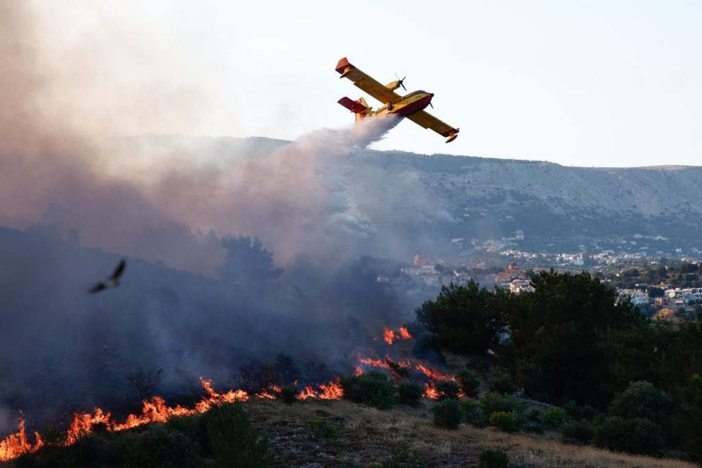
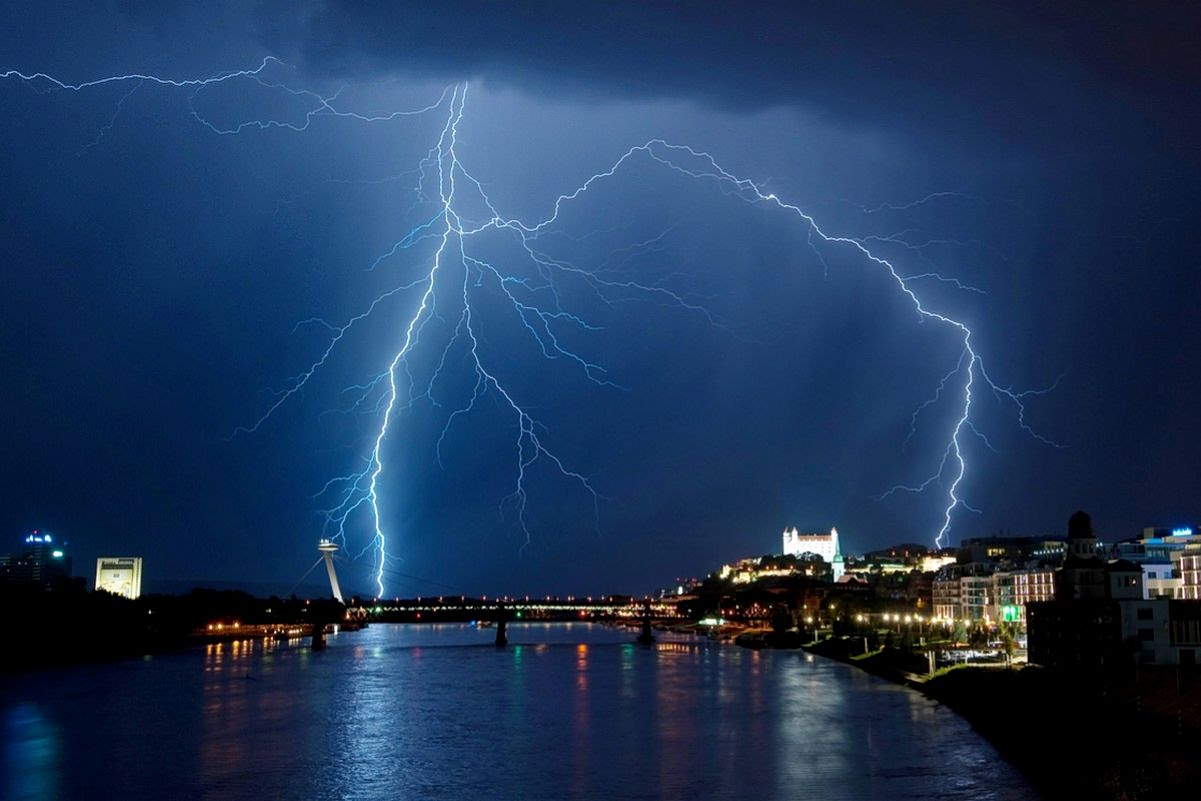
Greece is bracing for a powerful wave of severe weather, with meteorologists warning of a 72-hour onslaught of intense storms and relentless rainfall expected to sweep across the country.
The Ionian Islands, western and southern Peloponnese, Thessaly, the eastern Aegean, the Dodecanese, southern Crete, as well as Pieria, Imathia and Halkidiki are set to take the first hit. In Attica, the most dangerous window is forecast from Thursday afternoon, Dec. 3, through Friday morning. Experts caution that unsettled weather will persist well into next week.
Beginning Thursday, rain will spread nationwide, with sporadic thunderstorms especially near coastal and marine areas. Central Macedonia, eastern mainland regions, the Sporades and Evia may experience particularly intense conditions, while Thrace will see variable cloud cover.
Easterly to southeasterly winds will blow at 4–6 Beaufort, strengthening to 7 Beaufort in the Ionian and later over the central and southern Aegean. Temperatures will edge slightly upward, reaching 15–16°C in northern Greece, 17–19°C across much of the country, and up to 20–22°C in Crete, the Cyclades and the Dodecanese.
On Friday, heavy rain and thunderstorms are likely across central Macedonia, eastern mainland Greece, the Sporades, Evia, the Cyclades, Crete, the eastern Aegean islands and the Dodecanese.
Elsewhere, conditions will remain unsettled with cloudier intervals, scattered showers and isolated storms. Snow is expected in the mountain ranges of central and western Macedonia and Epirus.
Saturday will bring more rain and thunderstorms across central and northern regions, the northern and eastern Aegean, the Cyclades, Crete and the Dodecanese—locally severe until midday. Mountain snow will continue in the central and northern highlands.
By Sunday, eastern Greece will still face clouds and light rain, with isolated storms around Crete and the Dodecanese, while western regions enjoy brief spells of calmer weather.


