tovima.com - Breaking News, Analysis and Opinion from To Vima’s International Edition

Latest News
-
Trump Says He Doesn’t Want Cease-Fire With Iran
-
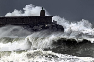
Mt. Parnitha Blanketed in White from Early Spring Snowfall
-
Missing 90-Year-Old Found After Surviving 4 Days Outdoors
-
Noted Greek Art Dealer Arrested on Forgery, Antiquities Trafficking (Vid)
-
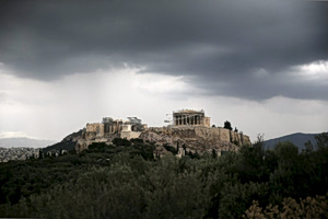
Ancient Pyramid Structure in S. Greece Fuels Scholarly Speculation
-
Kent Meningitis Outbreak Sparks Surge in Vaccine Demand
-
Chuck Norris, Action Icon and Martial Arts Legend, Passes at Age 86
-
Greece Train Strike to Halt All Services Monday
-
John Galliano’s Reintroduction Signals Cultural Switch In Fashion
-
Google Strikes Deals to Secure Data Center Power
-
Digital Platform Boosts Oversight of Disciplinary Cases in Greece’s Public Sector
-
Greece: Youth Pass Applications to Open on April 1
-
Taiwan’s All-Hands-on-Deck Plan to Fend Off China
-
Greek Unemployment Registry Falls in Feb.
-
Same-Sex Marriage and Adoption Are Constitutional, Rules Council of State
-
The War in Iraq (2003): When Saddam Hussein Rejected Bush’s Ultimatum
-
Places To See, Things To Do, Food To Eat
-
Athens’ Own Cine Paris Named Best Cinema In The World
-
Trump Calls NATO ‘Cowards’ Over Iran War Support
-
US Navy Investigators Descend on Souda Bay After Carrier Fire
-
Hipparchus’s Lost Star Catalogue Re-emerges
-
Iran’s Khamenei: We will target “enemies at home and abroad”
-
Dendias Hails New Conscripts as “New Era” of Military Service Begins
-
Gerapetritis: Repatriating Greeks from Middle East Was ‘Perhaps the Hardest Operation Since WWII’
-
World Happiness Report 2026: Greece Slides Further Down the Global Rankings