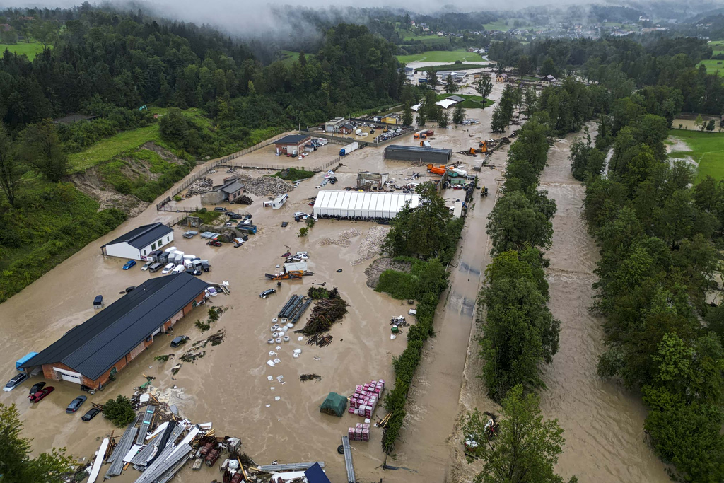

A powerful weather system is set to impact Greece on Monday, bringing heavy rainfall, strong thunderstorms, and gale-force winds across large parts of the country, according to national meteorological and civil protection authorities. Several regions have been placed on high alert as officials warn of flooding risks and travel disruptions.
The unstable weather is expected to affect nearly the entire country, with the most intense phenomena forecast in western Greece, northern and northeastern regions, eastern island areas, and parts of the south. Storm conditions will gradually ease later in the day, but some areas may experience prolonged and locally severe rainfall.
Red Alert in Northern Regions
Civil protection authorities have placed six regions under a “Red Code” emergency mobilization due to the expected deterioration of weather conditions. These include parts of northern and northeastern Greece, where the risk of flooding is considered particularly high.
Local and regional authorities have been instructed to activate emergency coordination units and review readiness plans to manage potential flood-related incidents. The decision followed an emergency weather bulletin and a risk assessment meeting involving meteorologists and disaster management officials.
NEWSLETTER TABLE TALK
Never miss a story.
Subscribe now.
The most important news & topics every week in your inbox.
Orange Weather Warning Issued Nationwide
The national weather service has issued an orange warning for Monday, forecasting strong rain and thunderstorms in many areas. Western Greece is expected to be affected until midday, while northern regions will see storms from the morning hours. Eastern Aegean islands, southern island groups, and Crete are forecast to experience severe weather from midday into the evening.
In the greater Athens area, periods of rain and thunderstorms are expected from the morning through early afternoon, with conditions improving by evening. Northern Greece’s largest city is also forecast to see strong storms during the middle of the day, followed by cooler temperatures and fog overnight.
Strong Winds and Travel Disruptions
Strong southerly winds are expected to dominate the Aegean Sea, reaching gale force in some areas before gradually weakening later in the day. These conditions have already led to ferry cancellations from Greece’s main port, affecting routes to several island destinations. Additional ferry services in other coastal areas have also been suspended due to high winds.
Passengers are advised to contact port authorities and ferry operators for the latest updates before traveling.
Temperatures and Outlook
Temperatures will see a slight decline, with daytime highs ranging from the low to mid-teens Celsius in most regions, and slightly warmer conditions in southeastern island areas. Snowfall is expected in higher elevations in central and northern parts of the country, while dust in the atmosphere and fog may reduce visibility during early morning and nighttime hours.
Looking ahead, conditions are expected to gradually improve from Tuesday, with storms becoming more localized and largely confined to eastern and southern areas. By midweek, a brief period of calmer weather is forecast before another round of rain approaches western Greece.
Authorities urge the public to remain cautious, limit unnecessary travel during severe weather, and follow official guidance as conditions evolve.