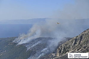
Don’t pack away that umbrella just yet! Tuesday brings another round of unstable weather across Greece, especially during the warmer hours of the day. Expect local showers and thunderstorms, some of which may turn strong — and yes, hail is a possibility.
From the morning hours, central and northern parts of the country will already be getting wet, with storm activity spreading through much of the mainland, the northern Aegean, and parts of Crete by the afternoon.
Temperatures will take a slight dip, hovering around seasonal norms:
- Western Macedonia: 6–18°C
- Rest of Macedonia & Thrace: 8–21/23°C
- Thessaly: 10–23/24°C
- Epirus: 10–24/25°C
- Other mainland regions: 13–25/27°C
- Ionian Islands: 15–25°C
- Aegean Islands & Crete: 13–23°C (Eastern Aegean up to 26°C)
Winds will mostly blow from the north and northwest:
- Northern Aegean: north to northeast at 4–5 Beaufort
- Elsewhere in the Aegean: northwest winds at 4–5 Beaufort
- Kastellorizo area: stronger west winds at 6–7 Beaufort
- Ionian Sea: west to northwest winds at 4–5 Beaufort
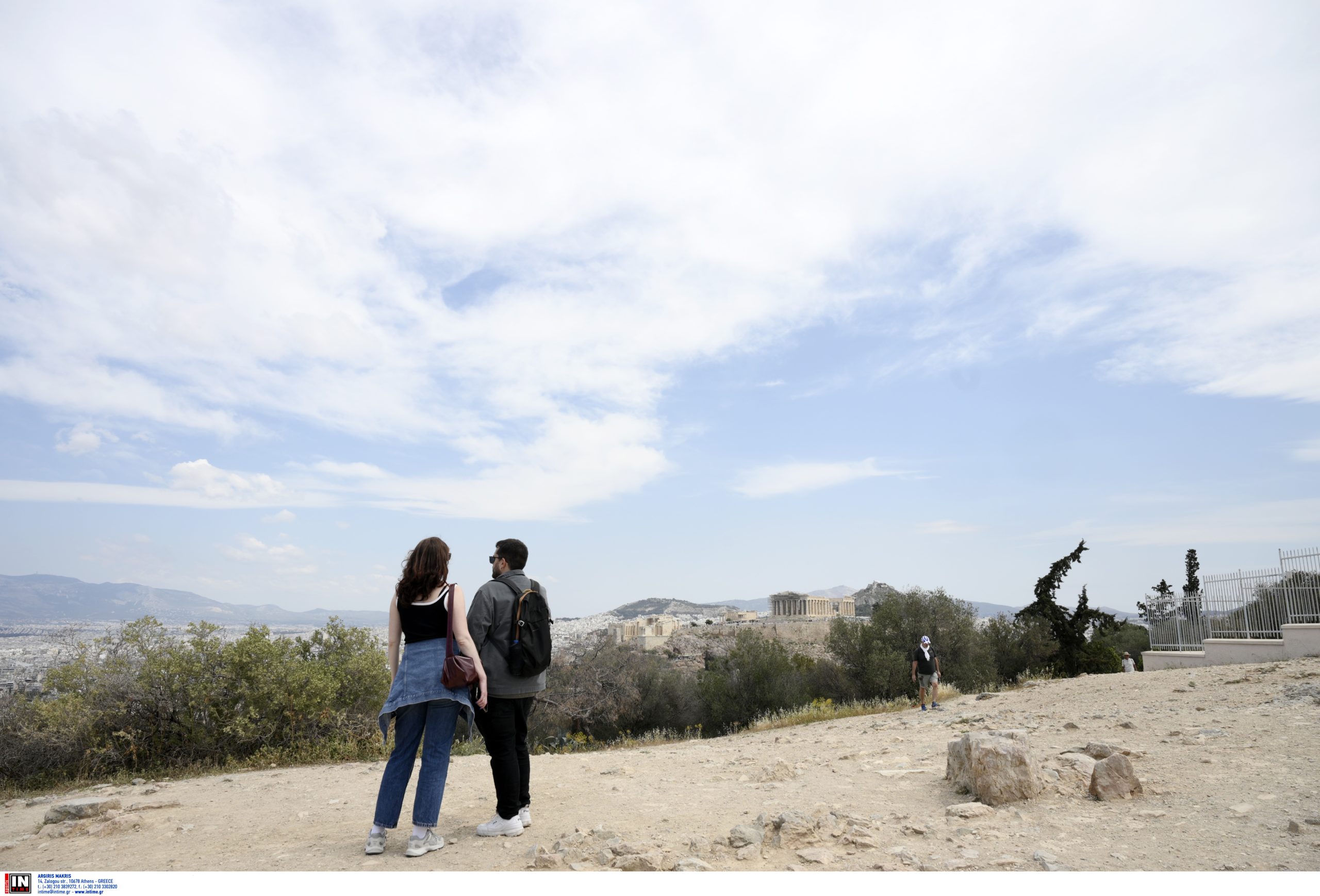
Athens will start off quietly with scattered clouds, but skies will grow moodier after midday, with a chance of showers or a thunderstorm — especially in western areas. Northerly breezes up to 4 Beaufort and highs around 25°C.
Thessaloniki is in for cloudy skies and likely storms during the warmest part of the day. Winds will be light and variable, with temperatures reaching 21–22°C.