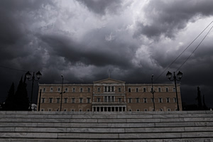
Severe weather is affecting Greece on Sunday, Jan. 15, as strong thunderstorms, powerful winds and widespread African dust combine to create disruptive conditions across several regions. Greece’s National Meteorological Service has updated its emergency weather bulletin based on the latest forecast data. Ferry services have been cancelled since this morning.
Through Sunday afternoon, heavy rain and thunderstorms are forecast in parts of western and northern Greece. The Corfu–Paxoi area is expected to see the most intense weather around midday and into the afternoon, while Epirus will be affected through the afternoon hours. In eastern Macedonia and Thrace, strong storms are expected to persist until late afternoon. These conditions may lead to localized flooding and transportation disruptions.
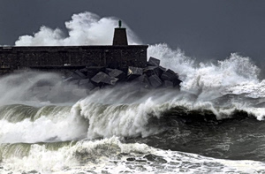
At the same time, very strong to storm-force southerly winds are sweeping across eastern Greece, especially over the Aegean Sea, where winds are reaching 8 Beaufort and up to 9 Beaufort in eastern sections, creating rough sea conditions. Ferry services have been suspended at major ports including Piraeus, Rafina and Lavrio, canceling departures and disrupting local island routes pending a later weather reassessment.
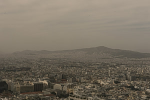
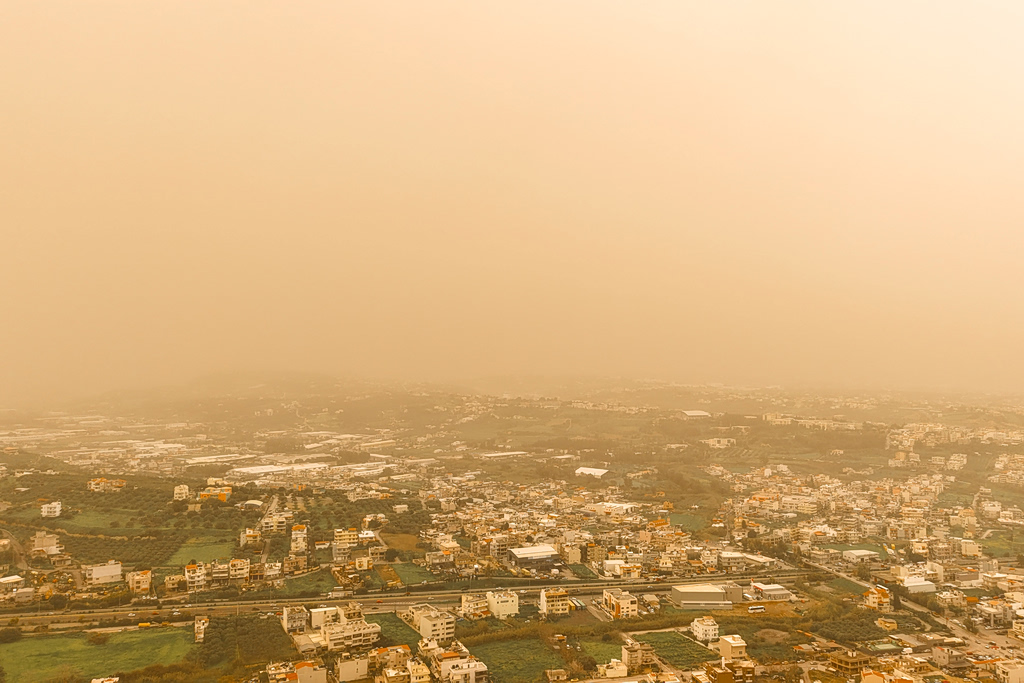
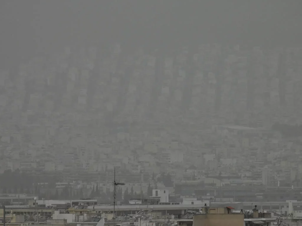
Meteorological conditions are also favoring significant transport of African dust into eastern Greece, particularly southern and central regions including the Peloponnese, Crete, eastern Central Greece — including Attica — the Cyclades and Evia. Since Sunday morning, Athens has been blanketed by dense dust, dramatically reducing visibility and creating a hazy, stifling atmosphere. Iconic landmarks such as the Acropolis and Lycabettus Hill have been nearly obscured as dust accumulates in the air.
A gradual weakening of the dust phenomenon is expected to begin late Sunday night. Forecasts indicate that dust levels will decline overnight, with conditions expected to clear fully by around 8 a.m. Monday, when visibility and air quality are projected to improve significantly.
Source: in.gr