Smoke from several major wildfires burning across Greece is spreading over large areas of the country, with prevailing weather conditions driving the largest plume southwest from the Porto Germeno wildfire, according to AtmoHub, Greece’s atmospheric composition information service.
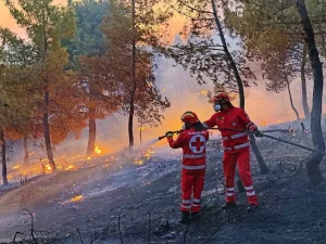
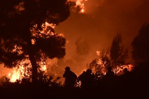
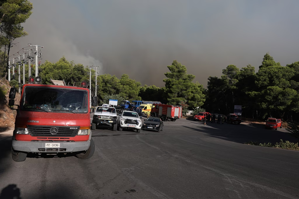
AtmoHub said significant wildfires remain active in Porto Germeno, Boeotia, Skaloma in the regional unit of Phocis, and Aigialeia. The fires, recorded on Aug. 1, 2026, are producing substantial amounts of smoke that are being continuously monitored through satellite observations and smoke-dispersion modeling.
According to the latest simulation, weather conditions are favoring the transport of smoke from the Porto Germeno wildfire toward the southwest. The smoke plume has extended over the Gulf of Corinth and covered a large part of the eastern Peloponnese peninsula.
Meanwhile, smoke generated by the wildfires in Aigialeia and Phocis is moving primarily westward, following the prevailing wind flow.
AtmoHub has also released a simulation video showing the projected dispersion of smoke from the active wildfires on Aug. 1, 2026. The model is based on satellite-derived estimates of wildfire emissions combined with numerical smoke transport models.
The service said it will continue monitoring the evolving situation as the fires remain active.