A joint US-India satellite has produced a time-lapse video showing lava steadily spreading from Krasheninnikov, a pair of volcanoes on the Pacific coast of Russia’s Kamchatka Peninsula. The eruption appears to have been triggered by a magnitude 8.8 earthquake that struck offshore on July 30, 2025. Just days later, the northern volcano began erupting for the first time in almost five centuries, and it has continued to send a field of molten rock and debris flowing eastward ever since.
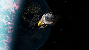
The NASA-ISRO Synthetic Aperture Radar (NISAR) mission has been monitoring the changing terrain. Orbiting 464 miles (747 kilometers) above Earth, the satellite captured its first image of Krasheninnikov on December 25, 2025, as it was completing its post-launch checks and entering full operation. Since then, it has passed over the same location twice every 12 days, once traveling south to north and once north to south, collecting detailed radar images each time.
Scientists assembled 17 of these images, gathered through mid-August 2026, into a time-lapse sequence. The video shows lava first filling a small inner caldera, then spilling over into a larger crater and eventually spreading outward in a fan shape.

According to researchers, the footage demonstrates how NISAR can track natural hazards as they develop, which could benefit both scientific research and emergency response.
Many of Kamchatka’s numerous volcanoes are monitored with instruments on the ground because they erupt often, despite the region’s remoteness. Krasheninnikov was not one of them, since it had been dormant since around 1550.
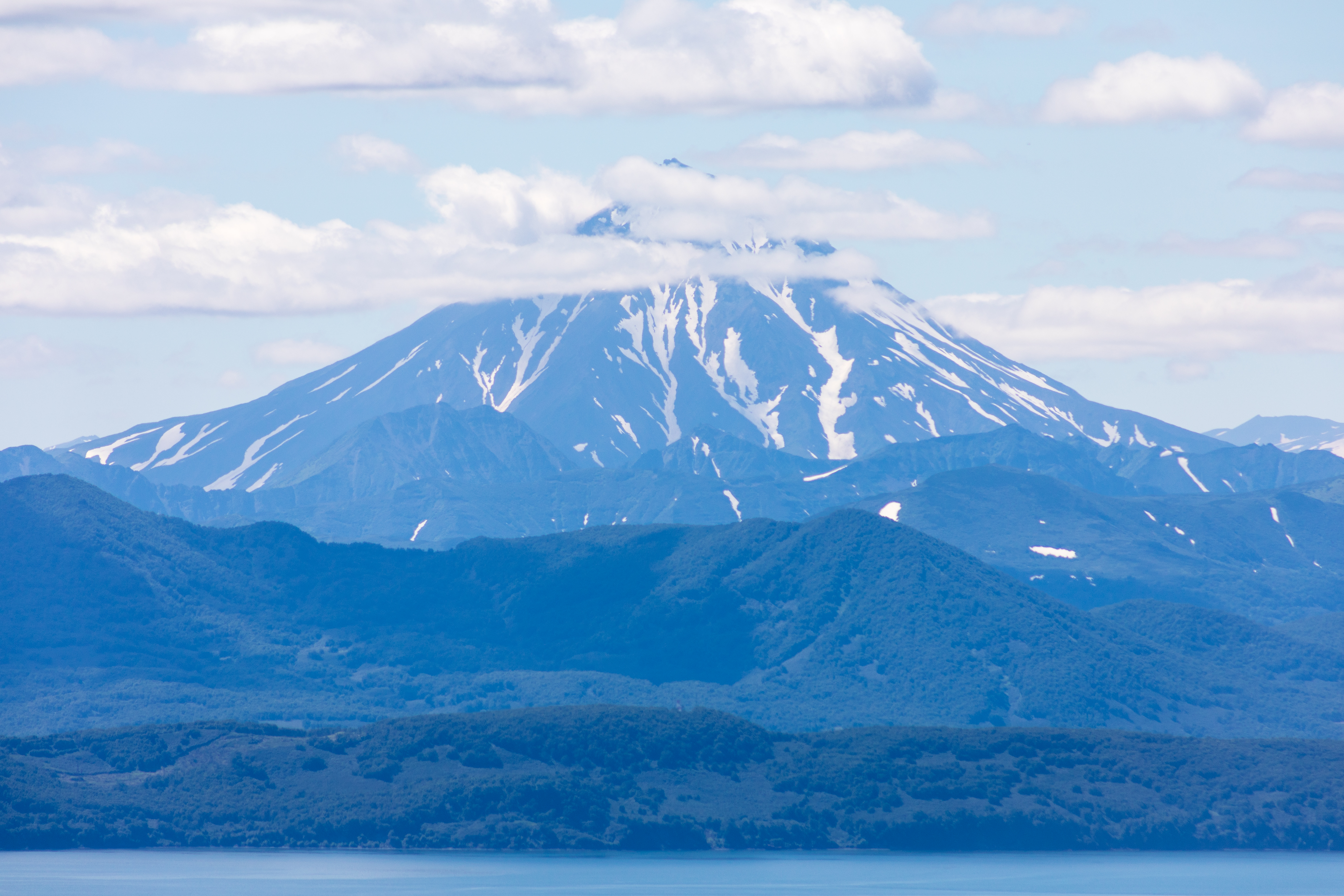
Vilyuchinsky volcano, Kamchatka peninsula, Russia. It is located southwest of the city of Petropavlovsk-Kamchatsky behind Avacha Bay. Source: Shutterstock
The fact that NISAR’s L-band radar picked it up at all reflects the satellite’s nearly global coverage of Earth’s land surface at resolutions of a few dozen feet. Its ability to follow the eruption over time also shows how precise and dependable its measurements are.
“The consistency is crucial. Twice every 12 days, acquiring in this high-resolution mode and in two observation directions, this shows the promise of NISAR to closely monitor natural hazards,” said Matthew Pritchard, a Cornell University geophysicist and NISAR science team member who analyzed the data behind the animation.
How Microwaves Create the Images
NISAR’s detailed images come from synthetic aperture radar (SAR), a processing technique for space-based Earth observation that was pioneered by NASA’s Jet Propulsion Laboratory in Southern California. As the satellite moves along its orbit, its radar beams thousands of microwave pulses toward Earth every second and records the signals that bounce back. Each return signal works like a snapshot that holds information about the surface below.
SAR processing merges many of these views of the same area into one sharper picture, much like a lens bringing a blurry object into focus. In the Krasheninnikov time-lapse, each pixel covers a square roughly 30 feet by 30 feet (10 meters by 10 meters), or about half the size of a tennis court.
The lava appears brighter than its surroundings because it reflects microwaves more strongly than the nearby snow or bare ground, depending on the season. Along with the lava field expanding to the east, the video also reveals a second flow to the northwest, which likely formed before NISAR took its first image.
When Pritchard was studying Kamchatka’s volcanoes for his doctorate more than two decades ago, usable radar data was hard to find. Satellites passed over less often, and image resolution was fairly low.
Today, researchers get frequent, broad coverage of nearly all of the roughly 1,300 active volcanoes above sea level worldwide. The images are detailed to within a few meters and can be easily accessed through the cloud.
“We’re seeing volcanoes around the world that we’ve never really had eyes on like this before,” Pritchard said.
NISAR is the first free-flying space mission equipped with two radar systems, one operating in the L-band and the other in the S-band. Because they use different wavelengths, the two systems complement each other. The longer L-band waves, for example, can penetrate forest canopies to image the ground below, while the S-band can observe the canopies themselves, depending on the size of the leaves.
Data from NISAR’s L-band radar is available through the Alaska Satellite Facility Distributed Active Archive Center in Fairbanks, which stores and distributes all of NASA’s synthetic aperture radar data.
About NISAR
JPL, which Caltech manages for NASA, leads the US side of the project and supplied the satellite’s L-band SAR and antenna reflector. The Indian Space Research Organisation (ISRO) provided the spacecraft bus and the S-band SAR.
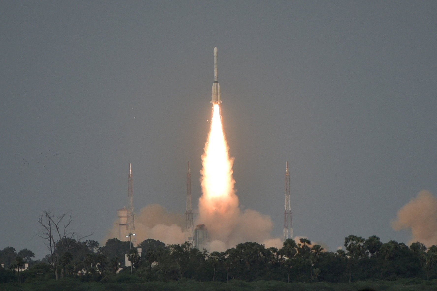
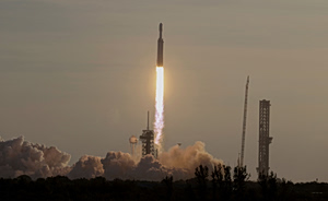
India’s Geosynchronous Satellite Launch Vehicle Mk II carrying the NASA-ISRO Synthetic Aperture Radar, or NISAR satellite, lifts off from the Satish Dhawan Space Centre in Sriharikota, India, July 30, 2025. REUTERS/Stringer
NISAR is the first satellite to carry two SAR instruments operating at different wavelengths. Both collect data using the spacecraft’s large drum-shaped reflector, which spans 39 feet (12 meters), making it the biggest radar antenna reflector NASA has ever launched into space.
Source: NASA