
Greece remains firmly in winter’s grip on Sunday, Jan. 18, with colder temperatures spreading nationwide and the cold spell expected to last several more days, according to meteorologist Thodoris Kolydas.
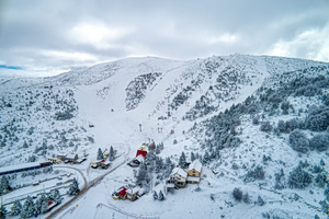
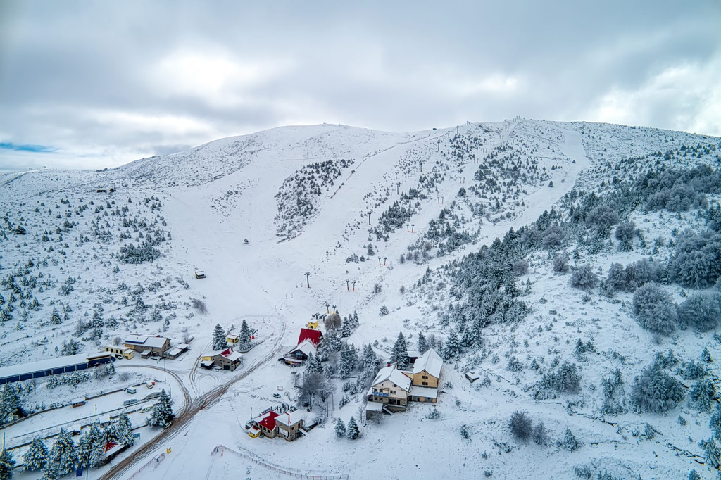
Cloud cover will increase across western and central Macedonia, Thessaly, the northern Aegean islands, Evia, eastern Central Greece and eastern Peloponnese. These areas will experience local rain or sleet, while light snowfall is forecast in mountainous and semi-mountainous areas of western and central Macedonia and Thessaly.
In the rest of the country, skies will be partly cloudy at times, with isolated showers expected in the Cyclades and Crete. Light snow is forecast in the mountainous areas of Crete.
Winds
Winds will blow:
NEWSLETTER TABLE TALK
Never miss a story.
Subscribe now.
The most important news & topics every week in your inbox.
- In western Greece from easterly directions at 4 to 6 Beaufort,
- In eastern regions from northerly directions at 5 to 7 Beaufort,
- In the southern Aegean, winds will locally reach 8 Beaufort, leading to rough sea conditions.
Temperatures
Temperatures will see a slight drop, particularly in daytime highs:
- Northern mainland Greece: 6 to 8°C (43 to 46°F)
- Remaining mainland areas: up to 10°C (50°F)
- Western mainland, Ionian Islands and Cyclades: 13 to 14°C (55 to 57°F)
- Southern Crete and the Dodecanese: 15 to 16°C (59 to 61°F)
Frost is expected during the morning and evening hours across mainland areas, with locally strong frost in northern regions.
Regional Overview
- Macedonia and Thrace: Increased cloud cover with local rain in western and central Macedonia; light snow in mountainous and semi-mountainous areas. Temperatures from -2 to 8°C (28 to 46°F), lower in western Macedonia. Winds easterly to northeasterly at 4–6 Beaufort, locally 7 Beaufort at sea.
- Ionian Islands, Epirus, Western Central Greece, Western Peloponnese: Few clouds becoming denser later in the day. Light snowfall in Epirus mountains. Winds easterly at 4–6 Beaufort, locally up to 8 Beaufort in southern seas. Temperatures from 6 to 13–14°C (43 to 57°F), lower inland.
- Thessaly, Eastern Central Greece, Evia, Eastern Peloponnese: Cloudy with local rain or sleet; snowfall in mountainous and semi-mountainous areas of Thessaly. Winds northeasterly at 4–6 Beaufort, locally up to 8 Beaufort in southern coastal areas. Temperatures from 3 to 10°C (37 to 50°F), locally up to 12°C (54°F) in the south.
- Cyclades and Crete: Increased cloud cover with isolated showers. Light snowfall in the mountains of Crete. Winds northerly to northeasterly at 6–7 Beaufort, locally 8 Beaufort. Temperatures from 9 to 14°C (48 to 57°F), up to 16°C (61°F) in southern Crete.
- Eastern Aegean Islands and Dodecanese: Partly cloudy, with local rain or sleet in northern areas. Winds northeasterly at 6–7 Beaufort in the north and northwesterly at 5–6 Beaufort in the south. Temperatures from 10 to 16°C (50 to 61°F), cooler in the north.
- Attica: Cloudy with local rain, mainly in northern and eastern areas. A chance of light snow in mountainous regions. Winds northeasterly at 4–6 Beaufort, locally 7 Beaufort in the east. Temperatures from 5 to 11°C (41 to 52°F).
- Thessaloniki: Cloudy with occasional local rain and light snowfall in surrounding hills. Winds easterly at 3–5 Beaufort. Temperatures from 3 to 7°C (37 to 45°F).
Outlook for the Coming Days
Cold conditions will persist into Monday, with similar patterns of rain, sleet and snow in northern and central regions. Frost will remain a concern, particularly overnight. A gradual rise in temperatures is expected from Tuesday onward, followed by more unsettled and wetter weather midweek, including thunderstorms in coastal areas and renewed snowfall in higher elevations.
Travelers should monitor local forecasts closely, especially when planning road trips or sea travel, as winter weather continues to impact much of Greece.