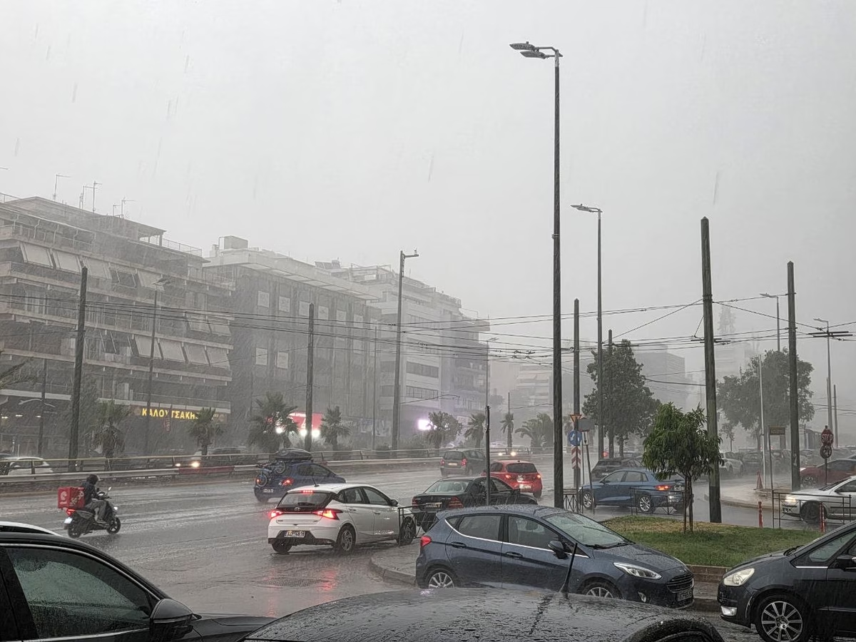
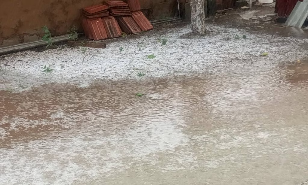
Rain and thunderstorms are expected in Crete, the Dodecanese and parts of the Aegean, while temperatures will reach 31 C on the mainland and Saharan dust continues to affect several southern and eastern islands.
Showers and thunderstorms are expected mainly across southern and western Greece on Wednesday, with unstable conditions in Crete, the southern Peloponnese and the islands, while temperatures remain near seasonal levels.
Temperatures will remain high through Saturday before rain and thunderstorms move into northern Greece from Saturday evening and spread to other mainland areas on Sunday and Monday.
Temperatures will fall across much of the country from Sept. 8, with stronger northerly winds in the Aegean and showers and thunderstorms possible in parts of mainland Greece from Wednesday.
Mostly sunny conditions are forecast across the country, with temperatures remaining high for the season and northerly winds reaching up to 7 Beaufort in parts of the Aegean.
Showers and isolated thunderstorms are expected in parts of Greece on Wednesday and Thursday, with temperatures beginning to fall in the west and north before easing further on Friday
Mostly sunny conditions will dominate the start of the month, with temperatures reaching 37 C before stronger northerly winds bring a modest drop by Thursday
Mostly clear conditions will prevail Monday, with afternoon showers possible in mountainous areas of western and northern Greece and strong northerly winds in the Aegean
According to the Hellenic National Meteorological Service (EMY), the weather will generally be clear, with localized cloud cover over mainland areas mainly during the afternoon
Meteorologists warn of at least seven to eight days of unusually high temperatures, with readings above 40°C possible in some areas and the heat potentially lasting into early September
The meteorologist said the phenomenon was not “sea smoke,” but advection sea fog formed when very humid, locally warmer air moved over relatively cool seawater
Temperatures are expected to reach 39 degrees Celsius on Friday, with mostly clear skies and strong northerly winds continuing across much of the country through the weekend
Meteorologist Thodoris Kolydas says temperatures will remain above 35°C (95°F) into early July before strengthening northerly Meltemi winds bring gradual relief. Greece's national weather service also forecasts continued hot, mostly sunny conditions
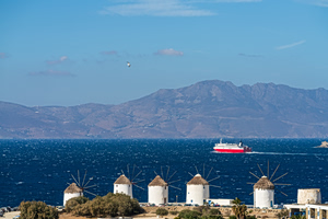
Sunshine will dominate across Greece on Monday, with very warm to hot conditions nationwide. Strong northerly winds over the Aegean Sea will provide some relief but may create challenging conditions for ferry travel
Clear skies, strong sunshine and dry weather will dominate Monday across Greece, with temperatures reaching 31°C and UV levels remaining exceptionally high throughout the day
A powerful storm hit areas of northern Greece, bringing up to 85 millimeters of rain, flooding roads and bridges and causing power outages in several locations.
A two-day spell of unstable weather is set to bring heavy rain, thunderstorms and strong winds to parts of Greece before conditions improve from Sunday
After a sunny and warm Thursday, Greece is expected to see a brief weather shift from Friday, with increased instability bringing rain, thunderstorms and cooler temperatures before conditions improve
Torrential rain, strong winds and intense hail battered rural communities, leaving thousands of acres of agricultural land flooded or heavily damaged as authorities assess the extent of the losses.
African dust, muddy rain and thunderstorms are set to affect large parts of Greece this weekend, with forecasters warning of intense weather in northern regions and reduced air quality in the south