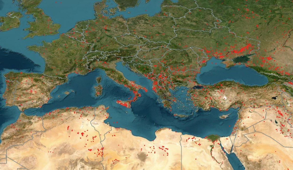
A harrowing image emerges from NASA’s satellite monitoring system, which currently shows wildfires raging across the entire Mediterranean basin.
Each red dot on NASA’s map marks the location of an active blaze—creating a sea of red from Southern Europe to North Africa. The last few days have been the hottest of this summer so far, and the satellite imagery reveals an unprecedented environmental shockwave.
From Greece to Spain, and from southern France to Cyprus, the scale of devastation is stark. The Mediterranean, as captured from space, appears to be on fire.
A Region Engulfed in Flames
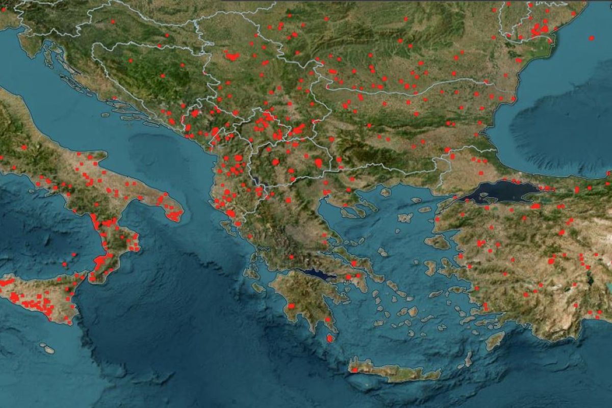
The satellite data underscores the widespread impact of the fires, which are not limited to Europe. Turkey, the Balkans, and North Africa are all facing significant fire outbreaks, with the worst-hit areas including Italy and several Balkan nations.
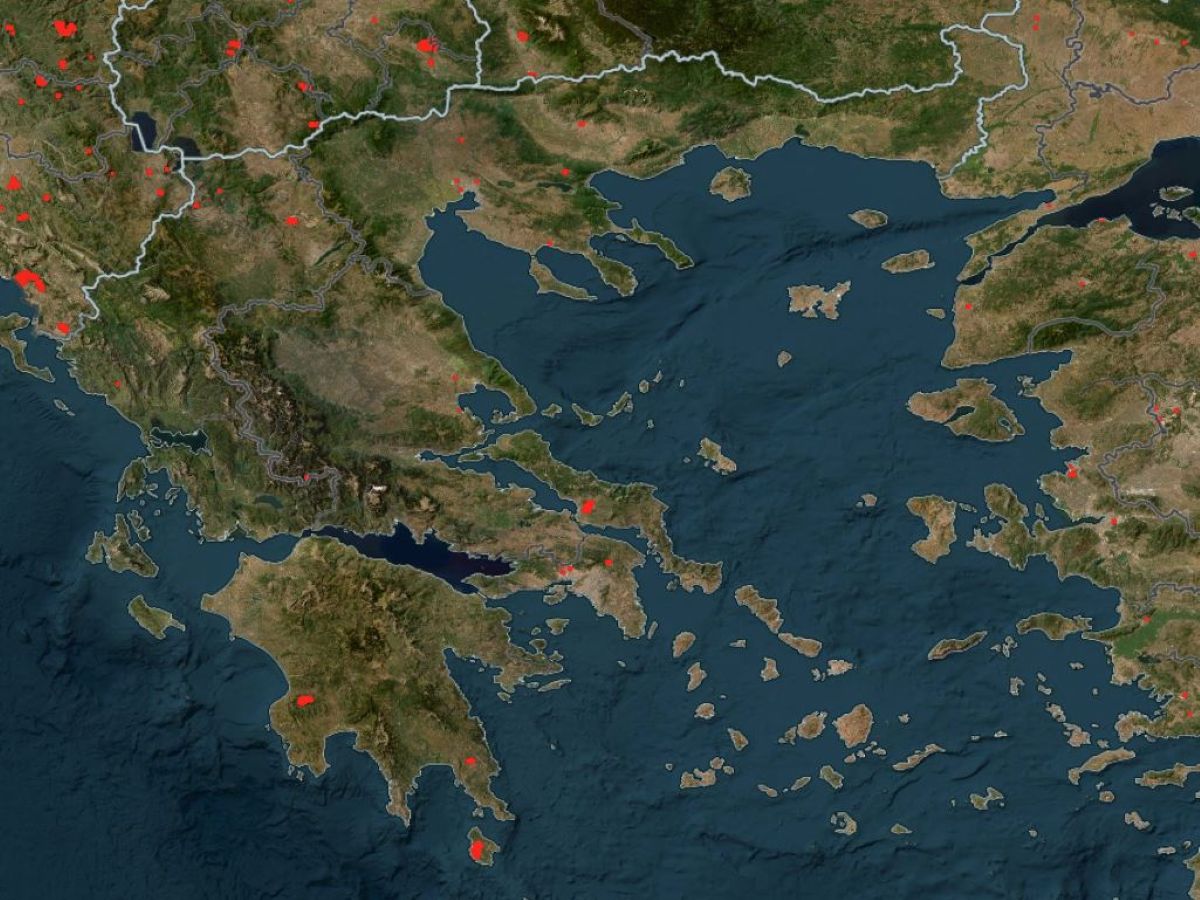
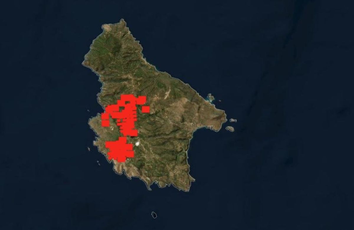
In Greece, multiple wildfire fronts remain active, particularly in Evia, Kythera, Messinia, and Chania. Of particular concern is the island of Kythera, where NASA’s satellite imagery reveals the full extent of the fire’s spread.
As emergency crews continue to battle the blazes on the ground, the view from above offers a sobering perspective: the Mediterranean is burning—and the crisis shows no signs of abating.