Greece is preparing to adopt a new national seismic hazard map that significantly updates how earthquake risk is assessed and how buildings are designed, marking one of the most important revisions in decades to the country’s anti-seismic planning framework.
The proposal has been developed by the Earthquake Engineering Research Group of the Aristotle University of Thessaloniki (AUTH), and aligns with the updated European standard known as Eurocode 8, which governs the design and reinforcement of buildings and infrastructure in earthquake-prone regions.
A shift to five seismic zones
Under the new system, Greece will be divided into five seismic zones instead of the current three. The revised classification aims to provide a more detailed picture of earthquake risk across the country, taking into account both geological conditions and population density.
The highest-risk areas include parts of western Greece, the Ionian Islands, and regions around the Corinthian Gulf, while lower-risk zones are located in northern regions such as Thrace. The capital region is also divided into multiple zones due to varying levels of seismic exposure.
Seismic acceleration values in the new map range from 0.13g in the lowest-risk zone to 0.37g in the highest.
Updated engineering standards
The new framework introduces stricter requirements for earthquake-resistant design in line with Eurocode 8, the revised European building regulation. The standard focuses on ensuring that buildings are designed primarily to protect human life by preventing collapse during strong earthquakes, rather than eliminating all structural damage, which experts describe as unrealistic.
A key technical change is the shift away from relying on a single parameter of ground acceleration. Instead, the new model uses two spectral acceleration values, offering a more detailed representation of how structures respond to seismic activity.
Scientific basis and European cooperation
The proposal is based on the latest European Seismic Hazard Model (ESHM20), developed with contributions from major research institutions across Europe, including AUTH. It incorporates recent scientific advances and reflects updated data on seismic activity across the continent.
Researchers involved in the project emphasize that the updated map better captures variations in earthquake risk and brings Greece’s standards in line with modern European practice.
Impact on existing buildings
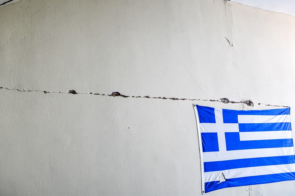
The revised map will affect both new construction and the assessment and reinforcement of existing buildings, many of which were constructed before modern seismic regulations were introduced.
According to the research team, the majority of buildings are expected to experience only minor or negligible damage under projected seismic scenarios, while a smaller percentage could face more serious structural impacts.
The estimated total cost of potential earthquake damage under the new framework is around €108 billion, reflecting updated risk calculations based on a nationwide assessment of millions of residential buildings.