 Μake us preferred on Google
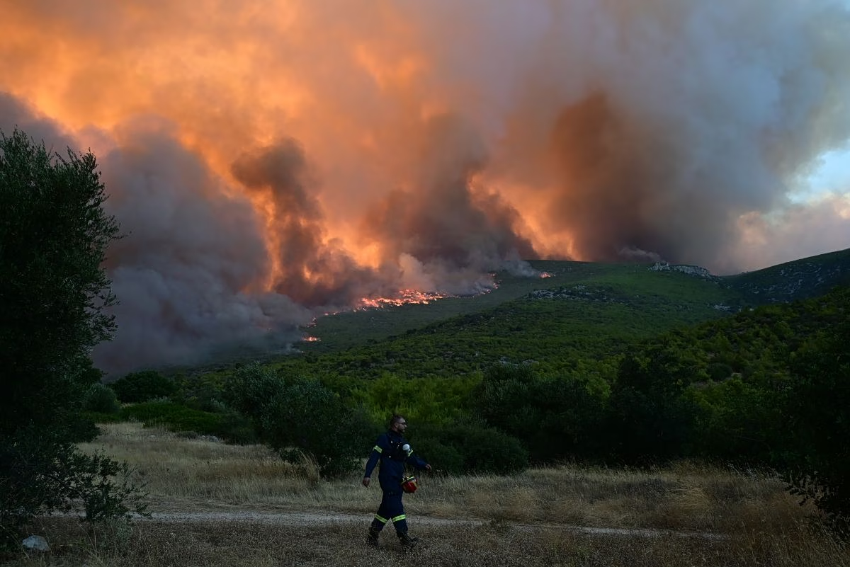
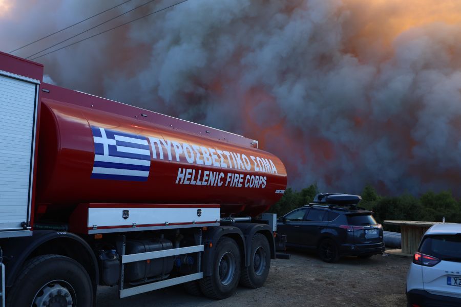
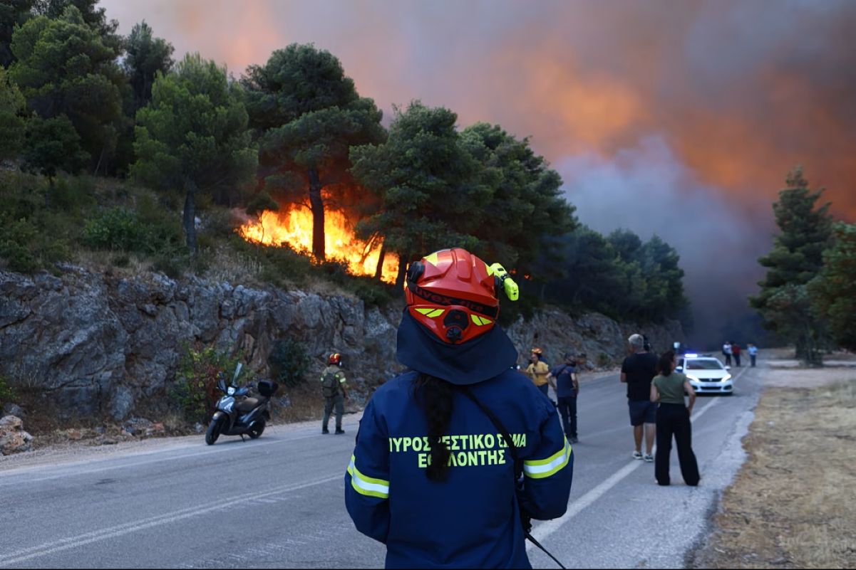
 More than 16,000 acres (6,500 hectares) of land have been destroyed by the wildfires that have been burning unchecked for days across the regional units of Boeotia and Attica, according to a preliminary assessment by the National Observatory of Athens.
The Meteo.gr scientific team released a map showing the areas affected by the fires up to midday on Saturday, August 1. Based on an analysis of satellite imagery from the European Copernicus Emergency Management Service (EMS), an estimated 7,636 acres (3,090 hectares) had burned in Boeotia by 11:46 a.m. on Saturday.
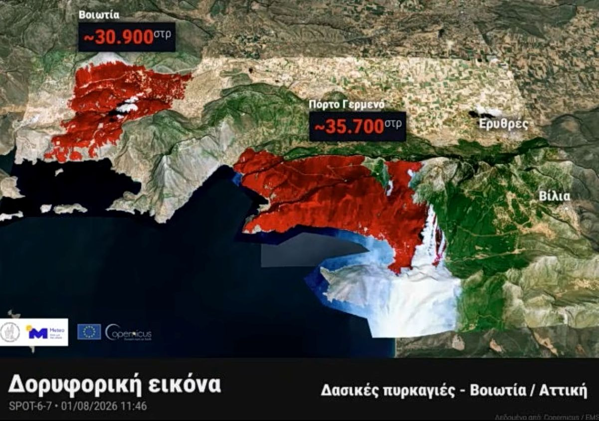
In Attica, the wildfire near Porto Germeno is estimated to have devastated a further 8,823 acres (3,570 hectares), bringing the total burned area across the two regions to more than 16,060 acres (about 6,500 hectares).
Authorities have kept a Red Code wildfire alert in effect for Attica, Boeotia and Evia, warning of an extreme risk of new fire outbreaks and rapid fire spread.
Although gale-force winds continue to hamper firefighting efforts, meteorologists expect wind speeds to ease later in the afternoon on Sunday, offering more favorable conditions for crews battling the blazes.