The relatively mild weather in Greece is forecast to take a turn for the worse, starting on Tuesday, March 17, according to meteorologist Theodoros Kolydas.
More specifically, two bad weather patterns are forecast to impact the country tomorrow and are expected to peak on Thursday and Friday. One system is advancing eastward from Sicily, and the other is moving northward from the Gulf of Sirte in Libya.
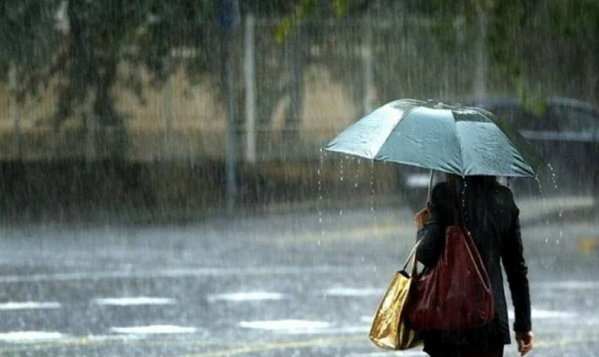
The two fronts are forecast to bring significant rainfall and snowfall to parts of Greece in the coming days, according to Theodoros Kolydas.
Rain on Tuesday, March 17, and Wednesday, March 18 will be mostly localized, but conditions are expected to deteriorate from Thursday, March 19 onward, with precipitation becoming more widespread and affecting the Aegean islands and Crete.
Snow is considered almost certain in mountainous areas, where accumulations could be substantial in places. There is also a small but real possibility of snow temporarily reaching semi-mountainous areas of central and northern Greece overnight Thursday into Friday — a forecast that meteorologists say will become clearer in the coming days.
Winds over the Aegean are expected to strengthen significantly, reaching storm force 8 on the Beaufort scale and intensifying the sensation of cold.
Current data also suggest that the unsettled pattern may persist beyond March 24, with further rainfall forecast across many parts of the country.