 Μake us preferred on Google
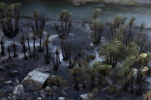
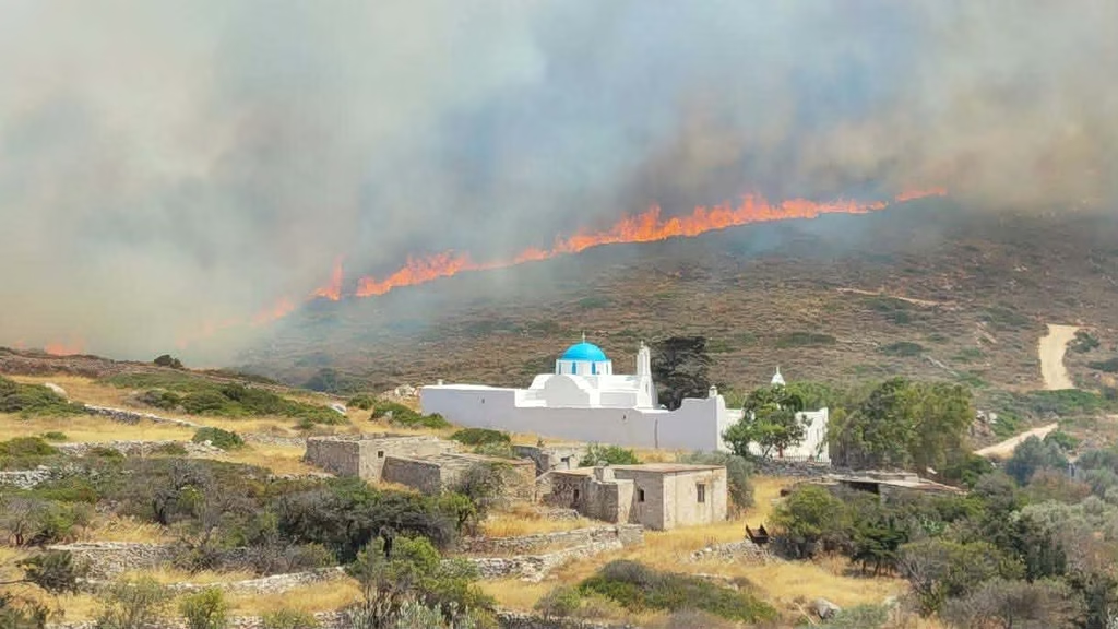
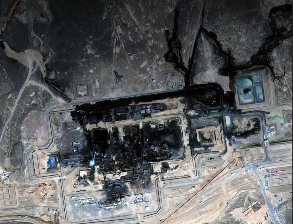
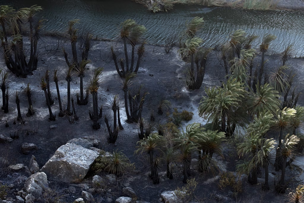
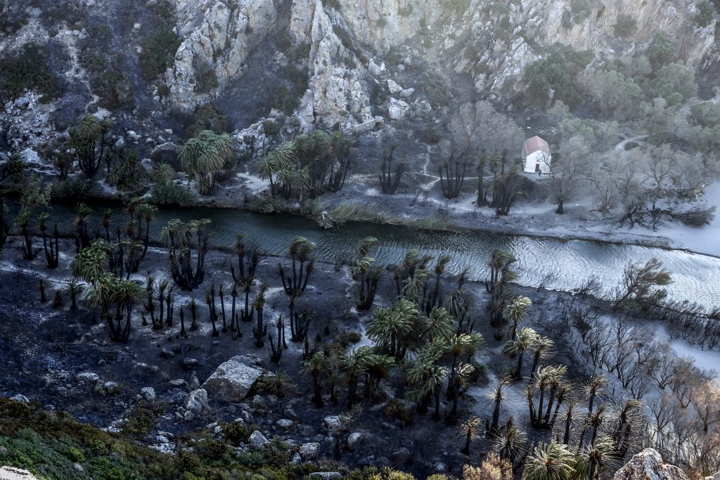
 The scale of the wildfires that broke out in recent days in southern Rethymno and on Paros is now visible in satellite imagery capturing the extent of the damage.
According to the latest data from the Copernicus Emergency Mapping Service and the European Forest Fire Information System (EFFIS), the large wildfire in the Melambes area of Rethymno had affected around 40,050 stremmata by midday on Thursday, July 30, 2026.
The wildfire in Preveli is estimated to have burned around 7,600 stremmata, while on Paros the affected area reached about 9,760 stremmata.
The National Observatory of Athens / meteo.gr is closely monitoring the progress of the fires, using satellite data and fire-weather forecasting models.
NEWSLETTER TABLE TALK
Never miss a story.
Subscribe now.
The most important news & topics every week in your inbox.
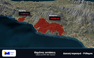
The current total area burned in the Rethymno fires, as seen through the EMS/Copernicus satelite imagery
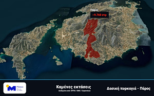
The current total area burned in Paros, as seen through the EMS/Copernicus satelite imagery