 Μake us preferred on Google
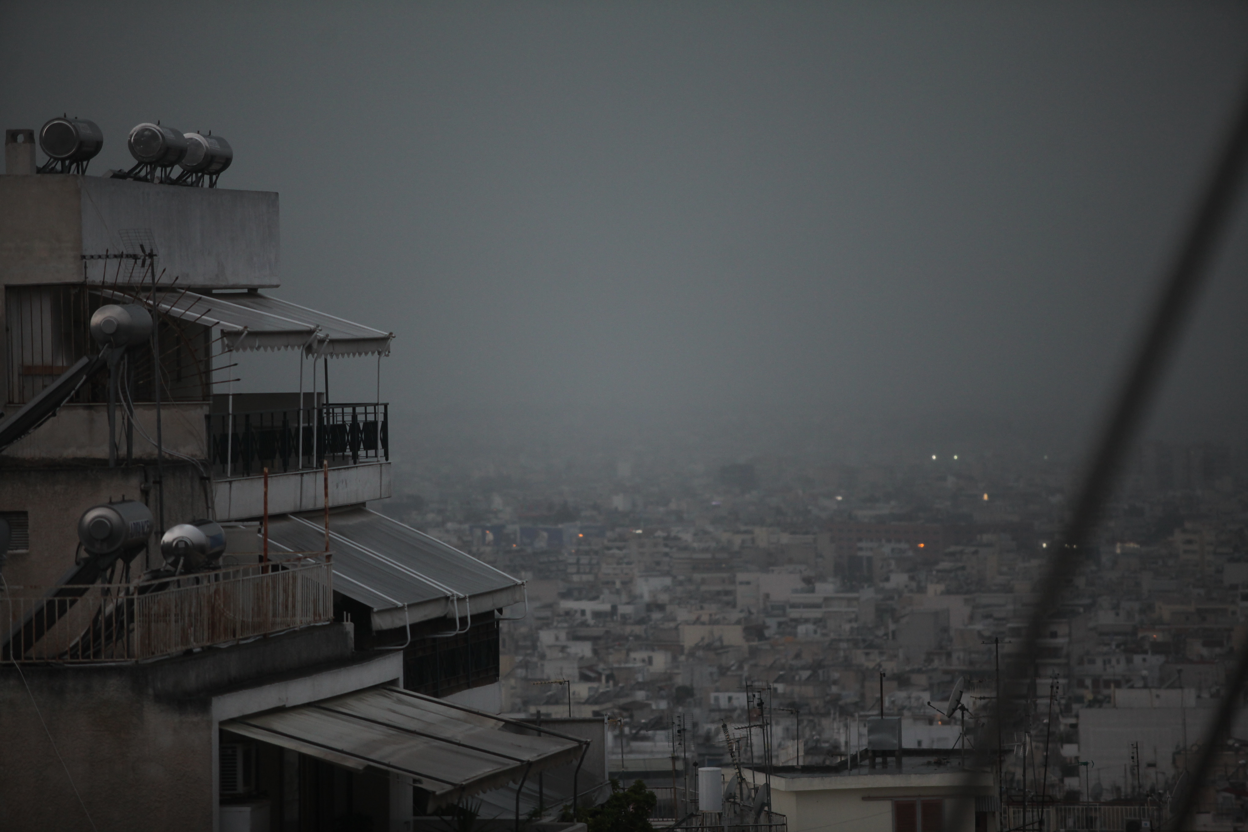
 Greece is bracing for a powerful new wave of storms, with the National Meteorological Service (EMY) issuing a red warning as heavy rain and thunderstorms continue to move across the country.
The latest update to the National Meteorological Service’s emergency severe weather bulletin was issued early Thursday, with the strongest conditions expected in southern Greece and particularly on Crete, where intense storms could continue intermittently through Sunday morning.
The storm system is also bringing very strong winds, with northeasterly winds expected to reach 8 to 9 on the Beaufort scale in parts of the Aegean. Gusts are expected to exceed 90 kilometers per hour.
Particularly intense thunderstorms are forecast in Chania and Rethymno, where residents and visitors have been urged to remain especially cautious.
An emergency alert was sent to mobile phones across Crete on Thursday morning, urging residents to avoid unnecessary travel and trips to mountainous areas of the Rethymno regional unit.
Where the Storms Are Expected
According to meteo.gr, localized rain is expected Thursday in the Cyclades and Evia, while thunderstorms, locally intense, are forecast in Crete and the Dodecanese.
Thunderstorms in northern and mountainous parts of Crete are expected to be particularly intense and prolonged.
The National Meteorological Service’s emergency severe weather bulletin, issued Wednesday, warned that conditions would deteriorate across eastern and southern Greece, with locally heavy rain and thunderstorms, mainly in Crete, as well as very strong winds in the Aegean.
More specifically, locally heavy rain and thunderstorms are forecast in Crete, particularly Chania and Rethymno, from Wednesday evening through Thursday. The severe weather could continue intermittently until Sunday morning.
Evia was also expected to see a temporary period of severe weather on Wednesday through the afternoon.
Meanwhile, very strong to gale-force northeasterly winds of 8 to 9 Beaufort were forecast locally across the Aegean on Wednesday and Thursday.
Meteorologists Forecast Extreme Rainfall
Meteorologists are expecting large amounts of rain in the coming hours, with Evia and Crete bearing the brunt of the weather system.
Meteorologist Giorgos Tsatrafyllias said the amount of rain could be equivalent to “two or more Octobers,” while concern is particularly high over the possibility of flooding in Evia.
The two main weather models, ECMWF and ICON, continue to forecast extreme rainfall totals through Sunday.
According to the forecast maps, some areas of Evia could receive amounts approaching or exceeding 100 millimeters, while parts of Crete could see rainfall totals of 250-350 millimeters, with locally even higher amounts.
In Evia, the island’s pronounced topography makes such multi-day rainfall totals particularly concerning. If a large share of the rain falls within a short period, the risk of flooding and swollen torrents increases significantly.
On Crete, particularly in Chania and Rethymno, forecast models are predicting extreme rainfall totals over just a few days, also significantly increasing the risk of flooding.
However, the exact maximum rainfall totals should not yet be considered certain, as the forecast extends over several days.
Crete Under Red Code
The General Secretariat for Civil Protection placed the Region of Crete under Red Code from Wednesday evening through Sunday, citing the high risk of flooding.
According to the Risk Assessment Committee, rain and thunderstorms — locally and intermittently severe — are expected in Crete from Wednesday night through Sunday morning, particularly across northern and northwestern parts of the island.
Large rainfall totals are expected, creating an increased risk of localized flooding.
Very strong to gale-force northerly to northeasterly winds are also expected in eastern and southern areas, with wind speeds reaching 8 to 9 Beaufort locally over the open seas on Wednesday and Thursday.
Power Outages in Heraklion, Schools Closed in Chania
Crete has already been hit by severe weather, including heavy rainfall, lightning and widespread power outages that began overnight.
Because of the dangerous conditions, all schools in Chania and Rethymno have been ordered to remain closed on Thursday. Authorities are also assessing conditions in specific areas of Heraklion.
Residents have been urged to exercise extreme caution when traveling.
Civil Protection Authorities Meet
The Civil Protection Coordination Body met Wednesday under the direction of Secretary-General for Civil Protection, with representatives of all relevant Civil Protection agencies and local authorities at both regional and municipal level.
Authorities decided to activate the Fire Service’s operational plan for dealing with flooding and related hazards. Fire stations in areas expected to be affected have been placed on heightened alert, with the possibility of further escalation if necessary so that any problems can be addressed immediately.
The General Secretariat for Civil Protection under the Ministry of Climate Crisis and Civil Protection has also notified the relevant state agencies, as well as the Region of Crete and the island’s municipalities, instructing them to remain on heightened civil protection readiness and respond immediately to any impacts from the severe weather.
During the meeting, regional and municipal authorities were particularly urged to provide residents and visitors with timely and continuous information about the development of the storm and recommended protective measures.
The Armed Forces, Hellenic Police and Hellenic Coast Guard have also been placed on heightened alert.
The civil protection mechanism of the Region of Crete, the Hellenic Distribution Network Operator (DEDDIE), the Independent Power Transmission Operator (ADMIE) and the National Emergency Assistance Center (EKAV) are also on heightened alert.
The Region of Crete has been placed under Red Code mobilization, from Wednesday through Sunday.
Ferry Services Disrupted
A sailing ban is in effect Thursday for ferries departing from and arriving at the ports of Rafina and Lavrio because of strong winds, leaving scheduled services canceled.
According to the latest update, the sailing ban is expected to remain in effect until approximately 11 a.m. to noon. A new bulletin will then determine whether and how services will operate.
What Is Happening in Piraeus
The situation is different at the port of Piraeus, where there is no general sailing ban. However, changes have been announced to services to and from the Saronic Gulf islands.
Some high-speed ferry services will not operate, while services using conventional ferries are expected to run normally.
Passengers are being advised to check with ferry companies and local port authorities before traveling, as conditions could change with the issuance of the next weather bulletin.
A further update is expected in the coming hours, when the situation regarding ferry services from midday onward is expected to become clearer.
JP