 Μake us preferred on Google
 A wildfire near Plomari on the Greek island of Lesbos burned a total of 614 stremma (151 acres) of olive groves, pine forest and shrubland, according to an initial assessment by the Remote Sensing and Geographic Information Systems Research Group of the University of the Aegean’s Department of Geography.
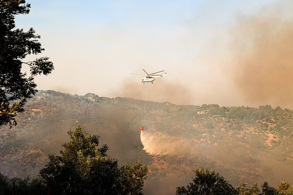
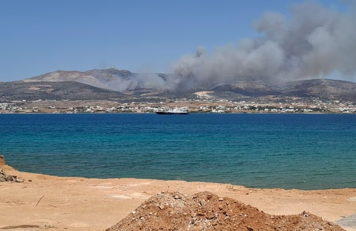
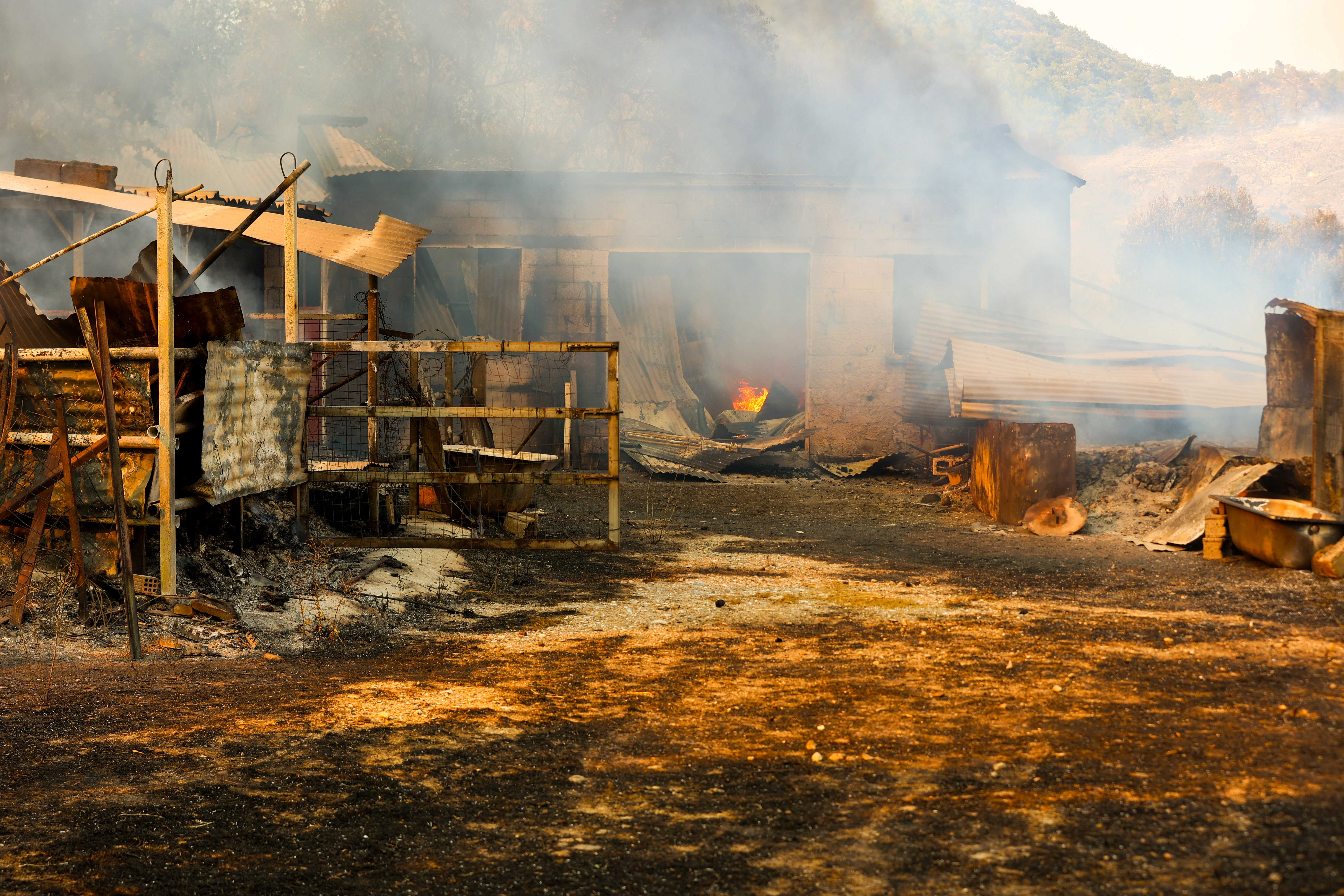
Fire near the old landfill in Plomari, Lesbos
The fire broke out on Wednesday, July 29, and was brought fully under control by Thursday afternoon. The research team carried out an initial mapping of the burned area and the intensity of the fire using satellite data and classification guidelines.
The analysis showed that the total affected area covers 614 acres, with varying levels of burn severity.
NEWSLETTER TABLE TALK
Never miss a story.
Subscribe now.
The most important news & topics every week in your inbox.
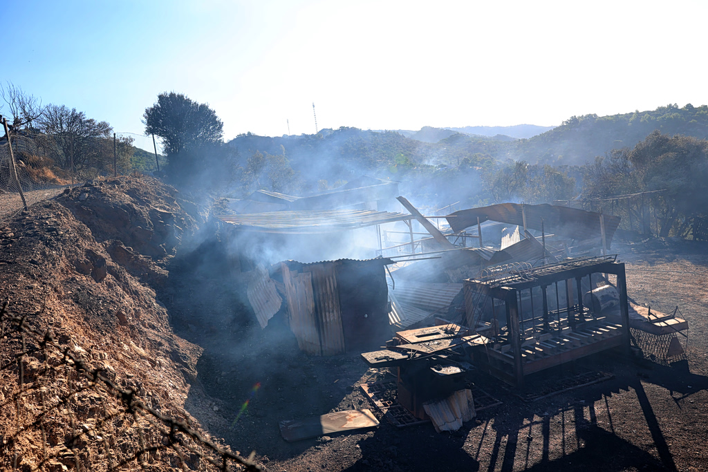
Fire near the old landfill in Plomari, Lesbos
Of the total burned area:
- 164 stremma (40 acres) were classified as having low burn severity.
- 260 stremma (64 acres)were classified as having low-to-moderate burn severity.
- 180 stremma (44 acres) were classified as having moderate-to-high burn severity.
- 10 stremma (2 acres) were classified as having high burn severity.
The assessment found that approximately 473 stremma (116 acres) of the burned land were olive groves, while the remaining area consisted of pine forest and shrubland.
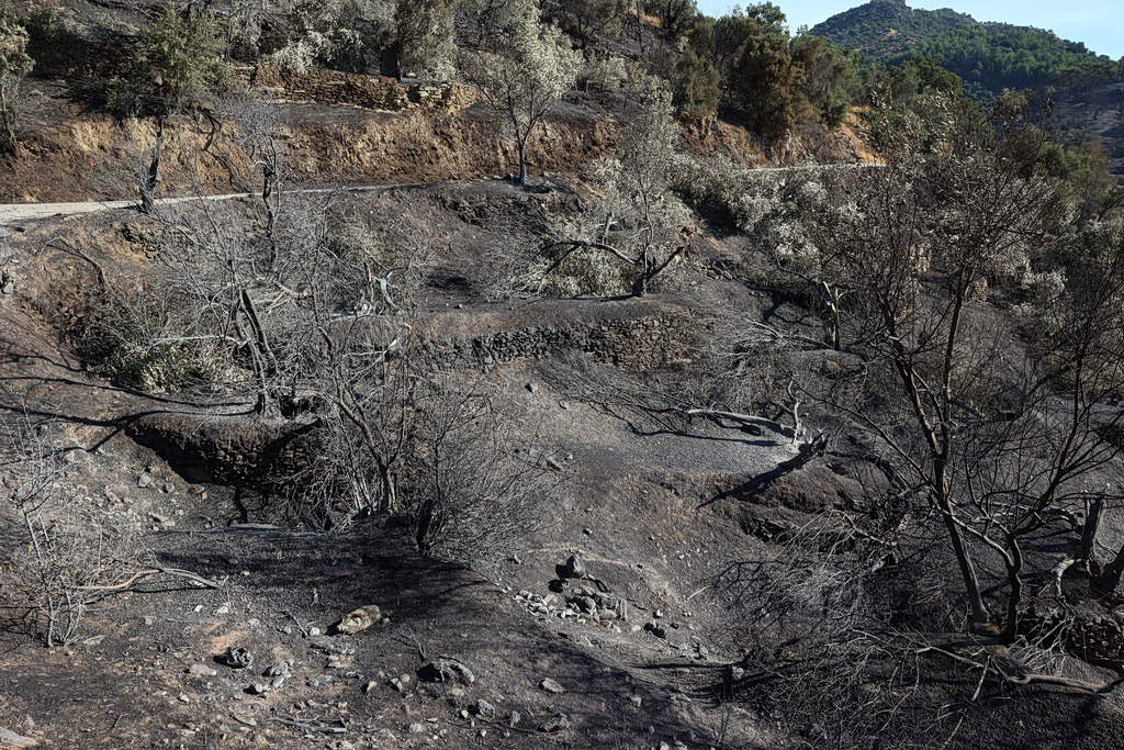
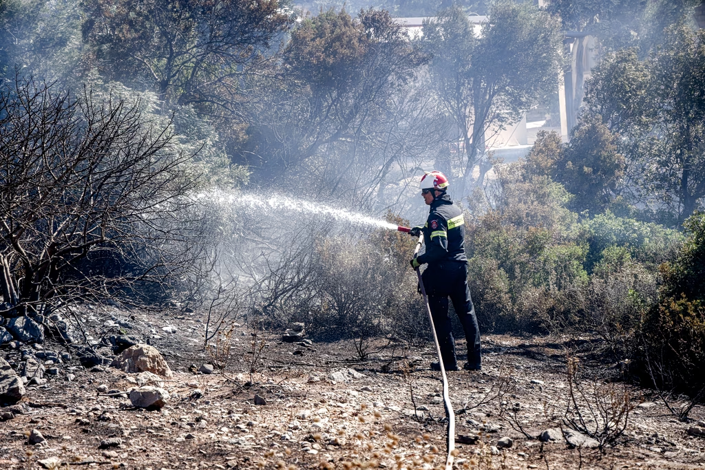
Fire in Plomari, Lesbos
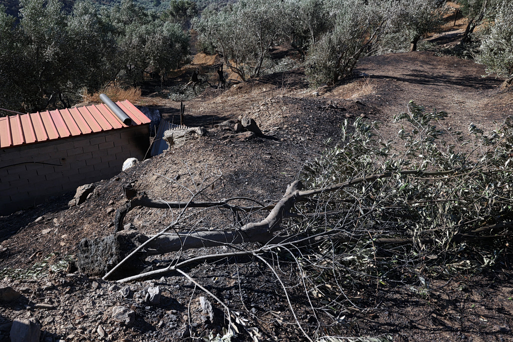
Fire in Plomari, Lesbos
The University of the Aegean research group said the findings were based on an initial satellite-supported mapping of the fire’s impact and severity.