 Μake us preferred on Google
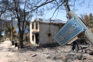
 The devastating wildfire that struck Porto Germeno in western Attica has significantly altered the area’s surface temperatures, according to an analysis by the Meteo unit of the National Observatory of Athens.
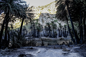
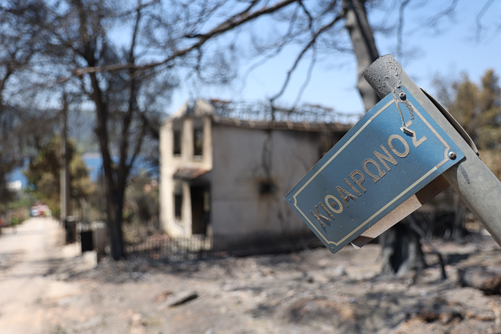
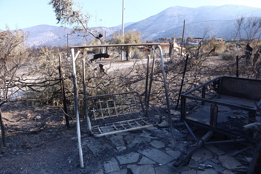
Thousands of acres of forest vegetation were destroyed by the fire. Satellite data collected after the blaze show that the loss of vegetation had a substantial impact on the temperature of the ground surface.
The analysis used high-resolution data from the Landsat-9 satellite and compared two periods with similar weather conditions: July 31, 2026, before the wildfire, and Aug. 16, 2026, several days after it.
Surface temperatures rise by up to 14°C
Within the burned areas, surface temperatures recorded on Aug. 16 were 12 to 14°C higher than during the period before the fire, according to the Meteo unit.
The analysis found that the loss of vegetation significantly affected the area’s energy balance, leading to a noticeable increase in surface temperatures.
A comparison of the two dates also showed temperature differences of 2 to 4°C in several areas, which were attributed to natural changes in weather conditions.
The analysis noted that low temperature differences shown in dark blue on the accompanying map indicated cloud cover, which can affect satellite measurements.
Potential impact on the local microclimate
The measurements concern land-surface temperature rather than air temperature directly.
However, Meteo said that the significant increase in surface temperatures could affect the air temperature near the ground and, consequently, the local microclimate.
The satellite observations provide a useful tool for understanding how natural disasters such as wildfires affect the microclimate of an area.
“Satellite data highlight the significant impact of the loss of forest vegetation on land-surface temperature after a major wildfire, with possible effects on the microclimate,” the Meteo unit of the National Observatory of Athens said in its conclusions.