The first month of summer in Greece is behaving more like mid-July, with intense heat, dry conditions, and strong northern winds combining to create early-season wildfire risks across the country.
According to the National Observatory of Athens, this June is already among the hottest and windiest since 2009, raising concerns among meteorologists and fire authorities. The unusually high number of “meltemia” — the strong seasonal northerly winds typically seen in July and August — has created a volatile mix, accelerating fire outbreaks earlier than expected.
Wildfires Spark Early Concerns
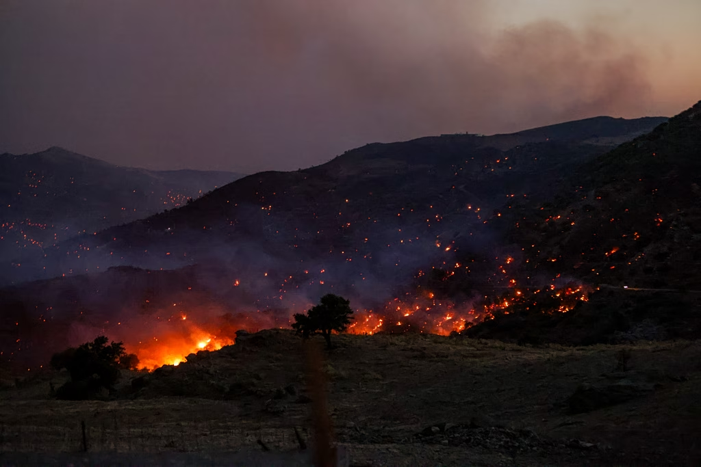
Nowhere is this more evident than on the eastern Aegean island of Chios, where wildfires raged for three consecutive days. Over 6,200 hectares (62,000 stremmas) of forest and grassland have been destroyed, devastating local communities and ecosystems.
The combination of intense heat, dry soil, and strong winds has created ideal conditions for fire spread, according to experts. Meteorologist Kostas Lagouvardos, director of research at the National Observatory and head of the METEO weather unit, emphasized that such destructive fires are uncommon for June.
“We usually don’t see this kind of fire behavior until later in the summer,” Lagouvardos noted. “This year, the early onset of intense heat and persistent strong winds has shifted the fire season forward.”
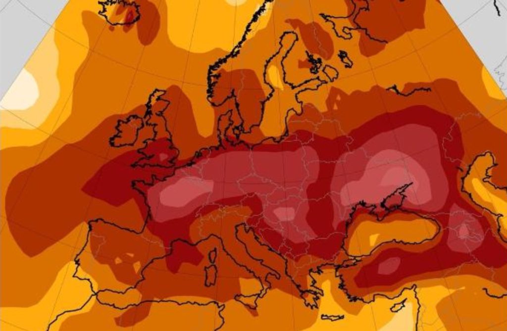
Record Temperatures and Persistent Winds
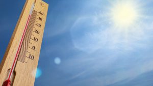
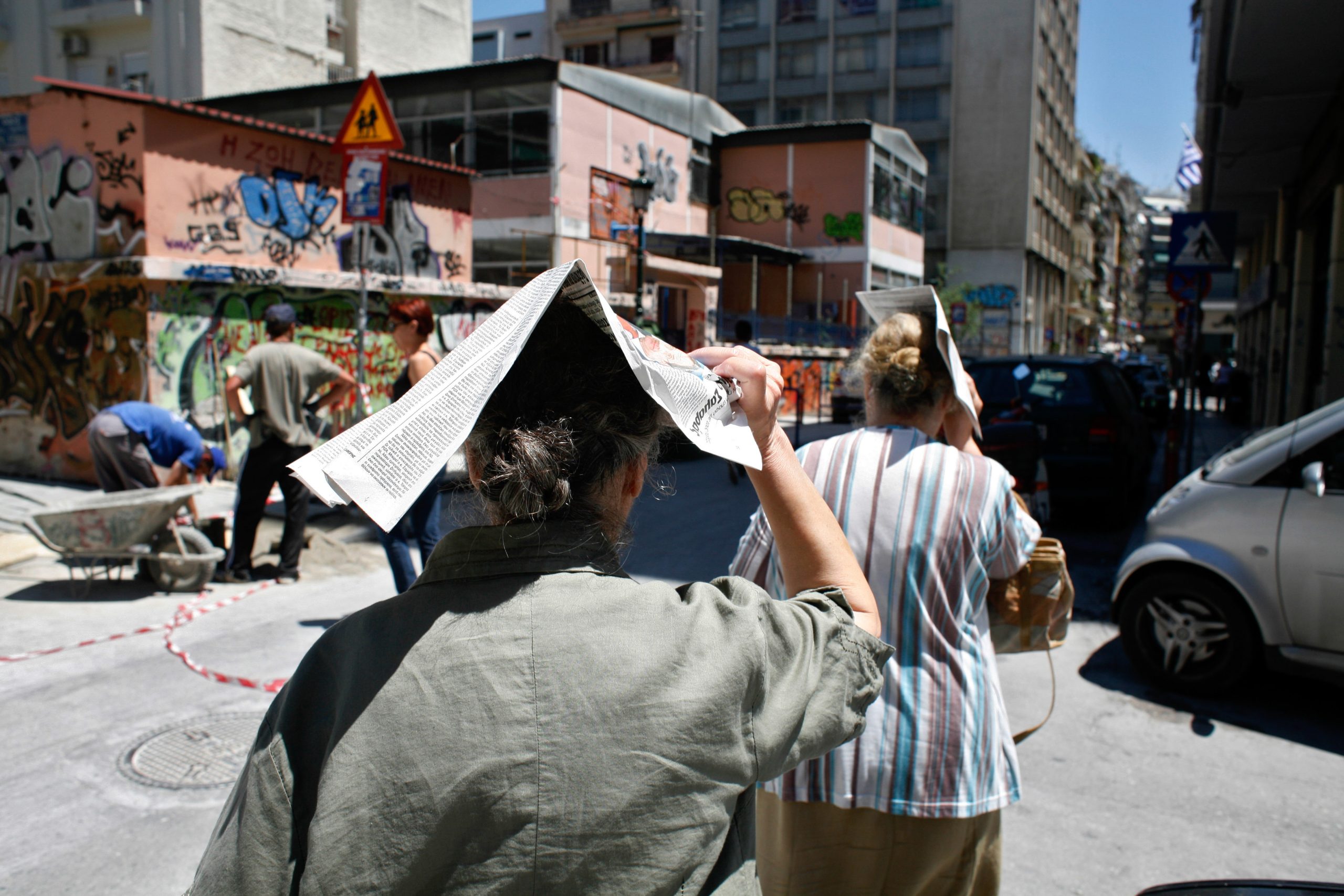
While temperature spikes above 37–38°C were recorded in early June, a brief cooldown followed mid-month. However, this week marks another significant warm-up. In Athens, where average highs are typically around 32–33°C this time of year, temperatures have reached 35°C, with forecasts calling for 38–39°C in the coming days.
In central regions such as Larissa, the mercury is expected to hit a sweltering 41°C by Friday, marking what meteorologists are calling the first official heatwave of summer 2025.
More concerning still, urban nighttime temperatures are expected to remain high — hovering around 29–30°C, offering little relief.
A July Weather Pattern Arrives Early
Lagouvardos also highlighted the unusual persistence of strong northerly winds for this time of year. Data from the METEO weather station on Tinos island confirms that June 2025 has already recorded the highest number of strong meltemia since monitoring began in 2009.
“These winds are typically a July or August phenomenon,” he said. “This anomaly is driven by atmospheric pressure differences caused by high-pressure systems over Central Europe and the Balkans.”
While these winds can bring temporary relief from extreme heat, their presence — combined with low humidity and limited rainfall — also significantly increases the risk of wildfires.