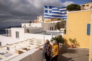

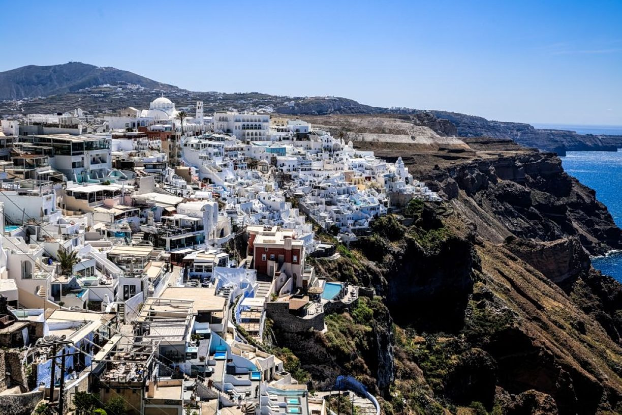
The major Santorini earthquake swarms that rocked the picturesque Greek island in the Aegean Sea, some measuring up to 5.0 on the Richter scale, raised serious concerns with some commentators fearing it would lead to the economic withering of its tourism industry.
Pundits predicted larger, catastrophic earthquakes over 6 Richter, while other doomsayers went as far as to warn of the whole island being wiped off the map completely.
But where are we a year on, since the Santorini earthquake swarms rocked the local community, drawing global media attention? Experts weighed in on the current status in the wider region, separating fact from fiction about what happened, the dangers and forecasts, during a one-day conference at the Athens Geodynamic Institute on Monday.
The director of the Institute, Vassilis Karastathis said the earthquakes in Santorini in 2025 were an extremely rare phenomenon, which was a continuation of a seismic sequence in the summer of 2024.
It is indicative that while 90 earthquakes measuring above magnitude 4 were recorded across Greece in the whole of 2024, a total of 216 quakes of that magnitude struck Santorini within just 10 days — from February 2 to February 12, 2025.
From January 20, 2025, when seismic activity began intensifying in the area, through the end of June 2025, a total of 21,150 tremors were recorded in Santorini.
On his part, Kostas Papazachos, professor of seismology at the Aristotle University of Thessaloniki and president of the Institute for the Study and Monitoring of the Santorini Volcano, said ground deformation in the area was very significant, with the island’s rate of displacement surging to one meter per year.
He added that the phenomenon continued, albeit at a declining pace, through December 2025.
The profile of the seismic crisis was outlined through ten questions and answers presented by the director of the Geodynamic Institute:
Was it an earthquake swarm or a typical foreshock–aftershock sequence?
It was an earthquake swarm, as the Geodynamic Institute had indicated from the outset — a series of quakes of similar magnitude without a clearly dominant main shock.
Were the earthquakes in Santorini tectonic or volcanic?
They were overwhelmingly tectonic in origin. Around 70%–76% were linked to tectonic structures, while only a small number had an isotropic component. A limited number of low-frequency quakes associated with magma movement were also recorded, leading experts to describe the sequence as tectono-magmatic.
What ultimately triggered the seismic activity in the area?
The activation of seismic faults following magma intrusion — confirmed by the high migration speed of the seismic activity — combined with the circulation of magmatic fluids.
Did the earthquakes occur near the surface?
No. They occurred at depths ranging from 5 to 15 kilometers.
When did the phenomenon begin to subside?
The easing of the seismic crisis began on February 12–13, 2025, with a sharp decline recorded after February 14, 2025.
Was volcanic rumbling detected, as had been reported?
No. Subsequent analyses did not confirm the presence of volcanic tremor.
Did the activity bring Santorini close to the formation of a new volcano?
No. Seismic data did not indicate magmatic activity near the Earth’s surface.
Was there an immediate risk of a volcanic eruption after the Santorini earthquake?
No.
Was the activity linked to the Amorgos fault that caused the devastating 1956 earthquake?
No.
What caused the ground deformation observed on the island?
This remains under discussion. Two main interpretations have been put forward. According to one scientific publication, the deformation was due to aseismic movement. Another study attributes it to the intrusion of a magmatic dike. The type of fluids involved in the phenomenon also remains under investigation.