 Μake us preferred on Google
 Greece is set for a significant change in weather from Friday, Aug. 14, with a noticeable drop in temperatures, stronger northerly winds in the Aegean and increased instability, particularly in central and northern parts of the country.
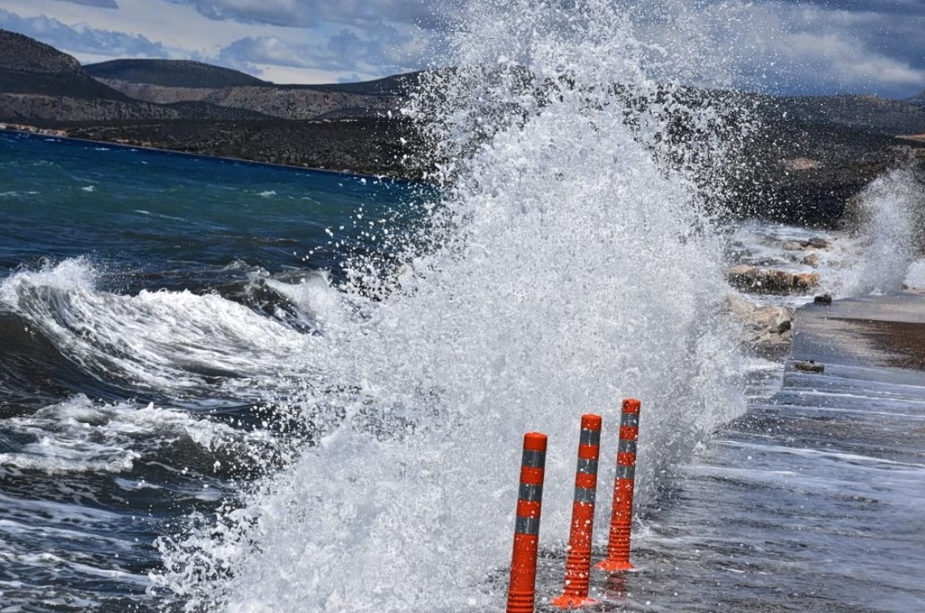
The strong meltemi winds, the seasonal northerly wind pattern in the Aegean, will reach 8 Beaufort and locally 9 Beaufort. Rain, showers and isolated thunderstorms are also expected in several areas.
The weather will be cooler on Saturday, Aug. 15, when Greece celebrates the Dormition of the Virgin Mary, one of the country’s major religious holidays. Winds will begin weakening Sunday and temperatures will gradually rise again from Monday.
Friday, Aug. 14
Instability will intensify mainly in Central Macedonia and Thessaly, where temporarily increased cloud cover, local rain and scattered thunderstorms are expected from the morning.
Elsewhere, conditions will generally be clear with plenty of sunshine. Some localized cloud cover will develop over Crete and the Dodecanese, with a chance of brief local rain, particularly in Crete.
During the afternoon, clouds will also develop over Western Macedonia, Epirus, Western Central Greece, the northern and central Ionian islands and the western Peloponnese, bringing local rain or showers. Scattered thunderstorms are also expected in Epirus and Western Macedonia.
Northerly to northeasterly winds will strengthen further in the Aegean, reaching 5 to 7 Beaufort and locally 8 Beaufort, with a chance of briefly reaching 9 Beaufort. Winds in the Ionian will reach 3 to 5 Beaufort.
Temperatures will fall noticeably nationwide. Highs will generally reach 28 to 32 degrees Celsius, locally 33C, while parts of the Ionian, western and southern mainland, southern Crete, the eastern Aegean islands and the Dodecanese will reach 34 to 36C.
Attica: Mostly clear and sunny, with temperatures between 22C and 32C. Temperatures will be about 2 to 3 degrees lower in northern and eastern areas. Northerly winds will reach 4 to 6 Beaufort, increasing to 7 to 8 in the east and briefly locally to 9 Beaufort.
Thessaloniki: Periodically increased cloud cover is expected, with local rain and occasional scattered thunderstorms, mainly in mountainous areas. Temperatures will range from 22C to 29C, with variable winds of 2 to 4 Beaufort.
Saturday, Aug. 15
The weather will be mostly sunny on the day of the Dormition of the Virgin Mary, with temporarily increased cloud cover in some areas.
Brief local rain or showers and possibly isolated thunderstorms are expected in Western and Central Macedonia and Thessaly, as well as in Epirus and the western and southern Peloponnese during the afternoon.
Northerly winds will reach 3 to 5 Beaufort in the Ionian, while remaining particularly strong in the Aegean at 5 to 7 Beaufort, locally 8 and possibly briefly 9 Beaufort.
Temperatures will fall slightly further, particularly in eastern areas, bringing cooler conditions nationwide. Highs will generally reach 29 to 31C, while parts of the Ionian, western and southern mainland, southern Crete, the eastern Aegean islands and the Dodecanese will reach 32 to 34C.
Sunday, Aug. 16
Conditions will improve, with mostly clear skies and plenty of sunshine. Some temporary cloud cover is expected over northern Crete and Evia, while clouds will develop over mountainous mainland areas during the afternoon, with a chance of local rain or showers in Epirus.
Winds in the Ionian will be variable at 2 to 4 Beaufort before turning westerly from midday. Northerly winds in the Aegean will reach 4 to 6 Beaufort and locally 7 to 8 Beaufort.
Temperatures will remain largely unchanged, although a slight rise is expected in eastern areas.
Temperatures to rise again from Monday
From Monday, Aug. 17, winds will weaken significantly while temperatures gradually rise across the country, returning to levels considered normal for the season.
Warmer weather will return, although no heat wave conditions are currently expected.