 Μake us preferred on Google
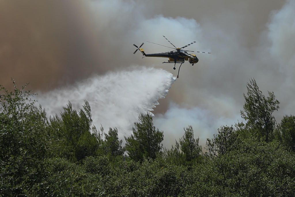
 Strong winds will continue to pose major challenges to firefighters battling active wildfires across Greece on Monday, with authorities placing the regions of Attica, Boeotia and Evia under a very high wildfire risk alert.
Although wind speeds have eased compared with previous days in the main fire zones of Boeotia and Attica, forecasters expect conditions to deteriorate again during parts of the day.
After gradually weakening overnight on Sunday, winds increased to around 5 Beaufort on Monday morning and are forecast to strengthen to 6 Beaufort by midday, with gusts reaching between 50 and 60 km/h (31 to 37 mph).
Officials warned that while conditions have improved, winds have not subsided completely, meaning active wildfire fronts remain highly dangerous. By Monday evening, winds in the affected areas are expected to ease to around 4 Beaufort.
The strongest northerly “meltemi” winds are expected over the Aegean Sea, where sustained winds will reach 6 Beaufort, with localized gusts of 7 Beaufort around Cape Doro.
Temperatures are also forecast to rise gradually, reaching as high as 39°C (102°F) in parts of western Greece.
From Tuesday, winds over the Aegean are expected to strengthen again to 7 Beaufort, while Attica and Boeotia could experience winds of up to 5 Beaufort. On Wednesday, strong winds of up to 7 Beaufort are forecast to affect southern Evia and eastern Attica.
High temperatures are expected to persist throughout the week, with highs reaching 39°C (102°F) through Friday and potentially climbing to 40°C (104°F) in some areas.
Attica, Boeotia and Evia Under Very High Fire Risk
According to the daily Fire Risk Forecast Map issued by Greece’s Ministry of Climate Crisis and Civil Protection, Attica, Boeotia and Evia have been placed under an orange alert, corresponding to Category 4, indicating a very high risk of wildfire.
Several other mainland and island regions have also been classified under Category 3, indicating a high wildfire risk.