 Μake us preferred on Google
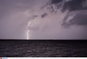
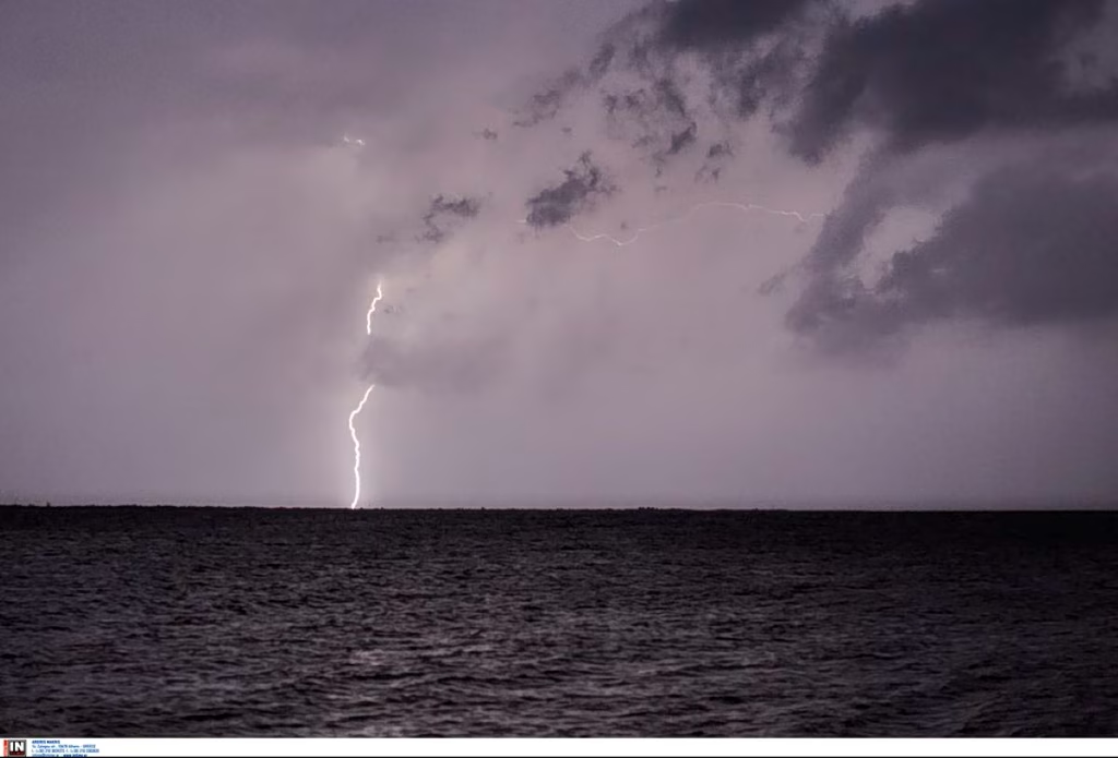
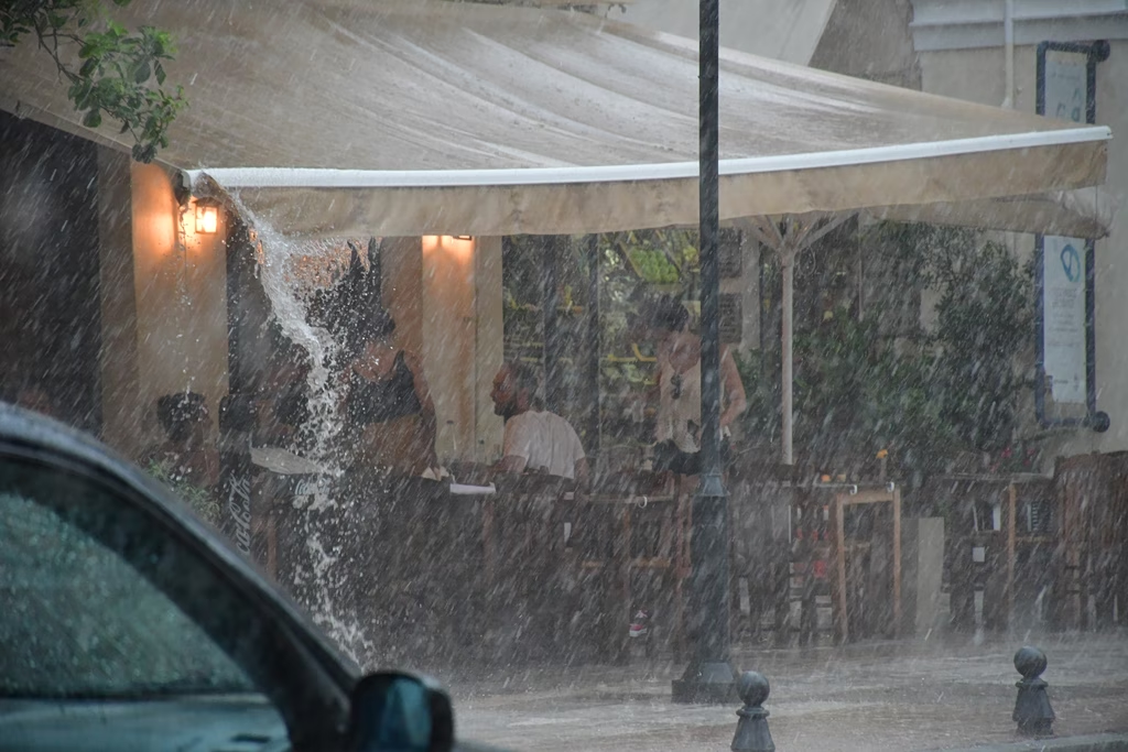
 The wave of bad weather that follows Friday’s first heatwave of the season will affect most of the country until the late morning hours of Saturday, according to the latest forecast data from the National Meteorological Service (EMY). The main features are strong rain and storms, accompanied by frequent lightning, squalls and possibly local hailstorms.
Friday, July 24
- Central Macedonia (Pieria, Imathia, Chalkidiki, Thessaloniki): Strong phenomena from late morning until late evening (Orange Warning).
- Eastern Thessaly (Larissa, Magnesia): Intense phenomena from noon until late night (Orange Warning), while coastal and maritime areas are upgraded to a Red Warning.
- Sporades and Evia (mainly Central and Northern Evia): Intense phenomena begin around midday (Red Warning).
- Eastern Sterea and Attica: Rain and storms from the afternoon until late evening (Orange Warning).
- Northeastern Aegean islands (Limnos, Thassos, Samothraki): Conditions worsen from late evening (Orange Warning).
Saturday, July 25
- Sporades: Strong phenomena until the morning hours (Red Warning).
- Evia (Central and Northern): Phenomena persist until late morning (Red Warning).
- Northeastern Aegean islands and Eastern Magnesia: Gradual improvement by the early morning hours (Orange Warning).
What to expect in Attica: Kolydas’s analysis
A change in conditions is also expected for the greater Athens area. Meteorologist Theodoros Kolydas notes that Friday brings the main rain event of the ten-day period for Attica, with forecast models pointing to local storms.
“The European model (ECMWF) puts rainfall at around 15 mm, while the American model (GEFS) is more conservative, estimating 3 to 4 mm,” Kolydas said, explaining that the phenomena will be highly localized. He added that this does not mean the whole Athens basin will see a uniform 15 mm; some areas may get a brief but intense storm, while others will see much smaller amounts.
From early next week, the weather is expected to improve noticeably, with temperatures climbing again.
State agencies on standby: Civil Protection guidance
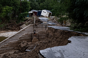
The Ministry of Climate Crisis and Civil Protection, the Fire Service, and regional and municipal authorities have been placed on heightened readiness to respond immediately to flooding.
The General Secretariat for Civil Protection is advising citizens to take the following precautions:
- Secure objects that could be swept away by wind.
- Check gutters and drainpipes on homes.
- Avoid crossing streams and riverbeds, on foot or by vehicle, during the storm and for several hours afterward.
- Avoid outdoor work and sea activities.
Lightning protection: During lightning activity, unplug electrical appliances, avoid contact with plumbing, do not take shelter under isolated tall trees, and get out of the sea immediately.
In case of hail: Take shelter immediately in a safe, covered space or vehicle.
For ongoing updates on weather conditions and road accessibility, citizens can check the websites of EMY (www.emy.gr) and the Greek Police (www.astynomia.gr).