
 Μake us preferred on Google
Storm Agneta is sweeping across Greece with heavy rain, thunderstorms, hail and strong winds, triggering flooding and landslides in several areas as meteorologists warn that severe weather will continue into the start of the week.
The Hellenic National Meteorological Service has issued a red weather warning for Central Macedonia and the Dodecanese islands, cautioning that rainfall could exceed 60 millimeters within 12 hours.
Serious flooding has already been reported on Samos, where regional and municipal crews are clearing streams in the area of Ireon. Firefighters have also been receiving repeated calls to pump water out of flooded properties.
On Kalymnos, a landslide occurred in the Agios Vasileios area of Pothia after a large boulder broke away from a hillside and fell into a private garage, causing property damage.
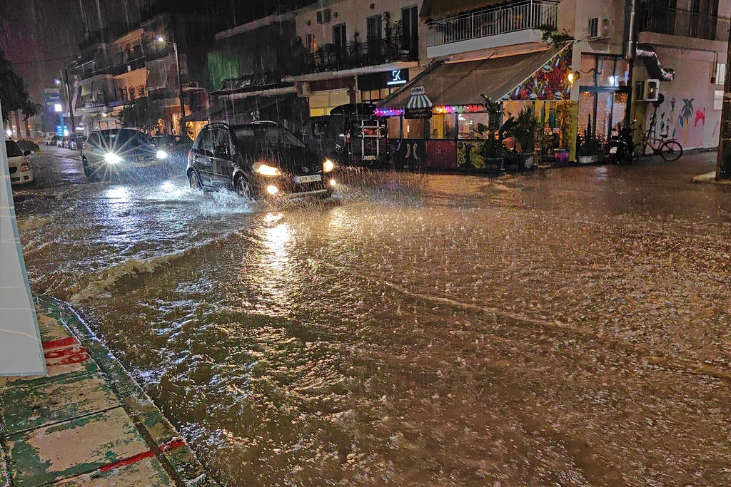
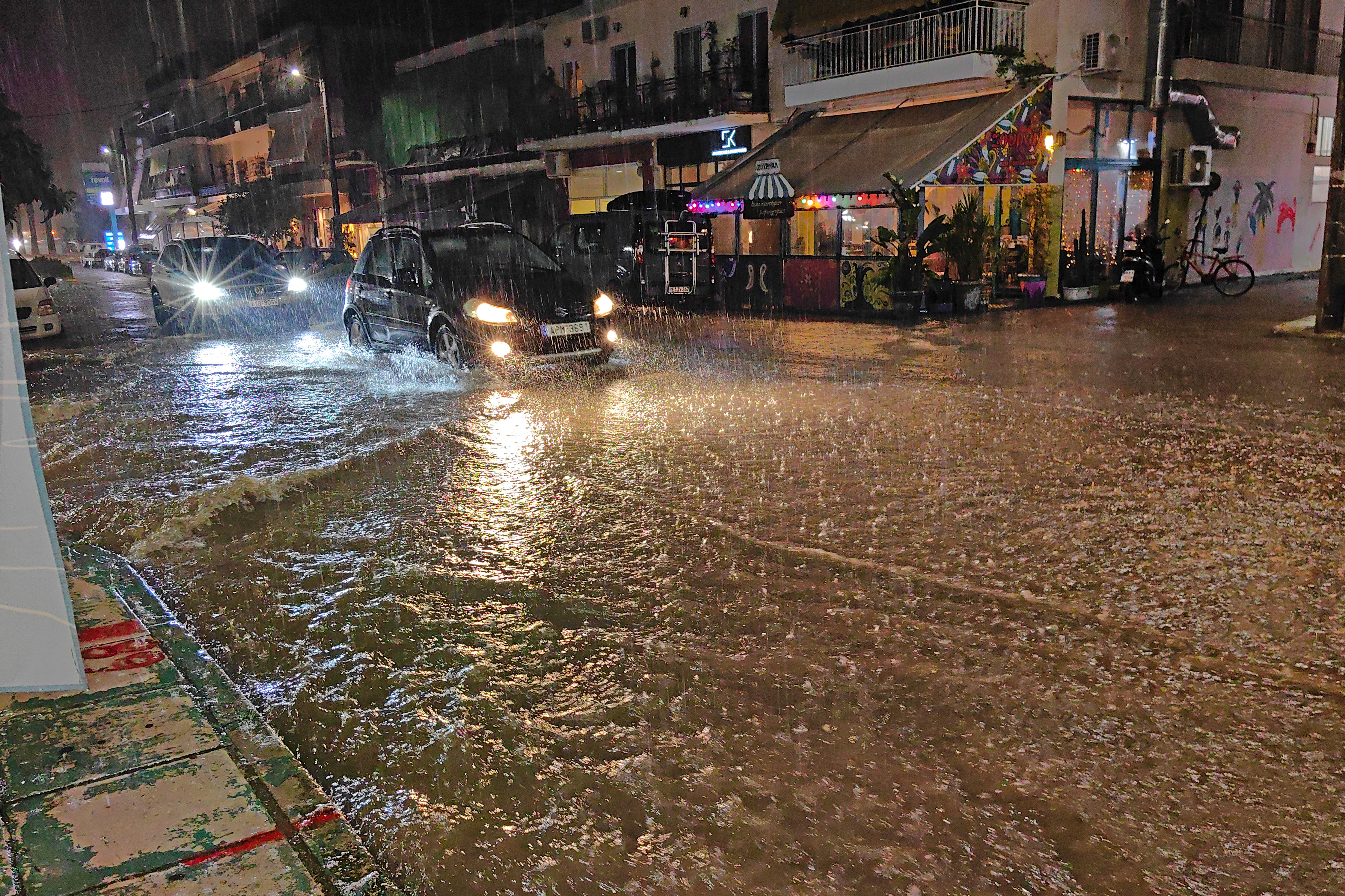
Meanwhile, a sudden downpour turned streets in the city of Volos and nearby Nea Ionia, in the region of Magnesia, into rivers.
When will Storm Agneta hit Athens and Thessaloniki?
According to the Meteo service of the National Observatory of Athens, the storm is following a pattern resembling the Greek letter pi (Π), mainly affecting the country’s northern, eastern and western regions.
On Monday, Nov. 2, unsettled conditions are expected to persist, with heavy rainfall forecast for the Ionian Islands, Epirus, western Central Greece and, temporarily, western and southern parts of the Peloponnese. The eastern Aegean islands and the Dodecanese are also expected to be affected.
Epirus has been placed under an orange weather warning.
Temperatures are forecast to reach 17–20 degrees Celsius across mainland Greece and up to 23 degrees in the southern Aegean. Southerly winds will strengthen over the seas, reaching 6 to 7 on the Beaufort scale.
In Attica, including Athens, cloudy skies are expected throughout Monday. Moderate rain is forecast from midday, with scattered thunderstorms possible late at night. Temperatures will range from 14 to 20 degrees Celsius, while southerly winds will reach 3 to 5 Beaufort.
Thessaloniki will also see cloudy skies and intermittent drizzle. Rain is expected to intensify from the evening, with thunderstorms forecast late at night and into the early hours of Tuesday. Temperatures will range from 12 to 18 degrees Celsius, with northerly winds reaching up to 4 Beaufort.
Storms to ease from Wednesday
Unsettled weather will continue on Tuesday, although heavy thunderstorms are expected to gradually become confined to the eastern Aegean from the afternoon.
Temperatures will range from 18 to 21 degrees Celsius across the country, reaching up to 24 degrees in northern Crete. Southwesterly winds will blow at 6 to 7 Beaufort.
A noticeable improvement is expected on Wednesday, when the severe weather will begin to subside. Weaker, localized showers may persist in the eastern Aegean, while eastern mainland areas are expected to see periods of sunshine.
Winds in the Aegean will turn northwesterly, reaching 5 to 7 Beaufort.