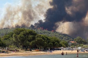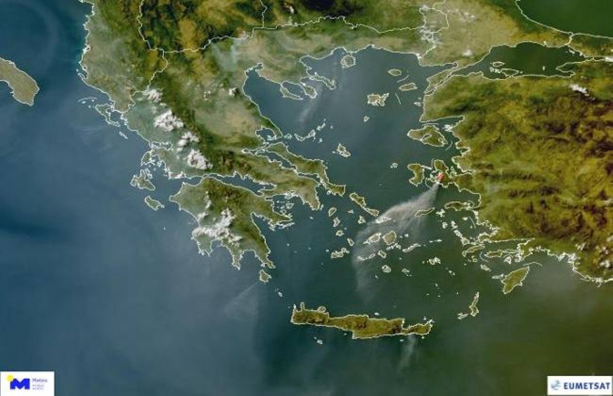
Three major wildfires have been raging across Greece over the past 24 hours, with thick smoke now visible from space. A satellite image released by Meteosat-12 clearly shows the extent of the smoke plumes drifting across large parts of Greece and even parts of the eastern Aegean, as well as smoke from a major fire continuing to burn near İzmir, Turkey.
The image, published on Wednesday, July 2, by the director of the National Observatory of Athens’ Meteorological Service, highlights the widespread impact of these fires. It shows thick smoke from wildfires burning in Vourvourou (Halkidiki), Ierapetra (Crete), the island of Kythira, and the İzmir region in Turkey.
According to the director, the smoke from these wildfires is clearly visible in the pseudo-color satellite image taken at 07:20 pm, local time. The smoke covers significant portions of the sky above Greece and the eastern Aegean Sea.
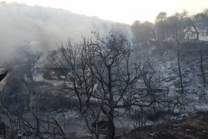
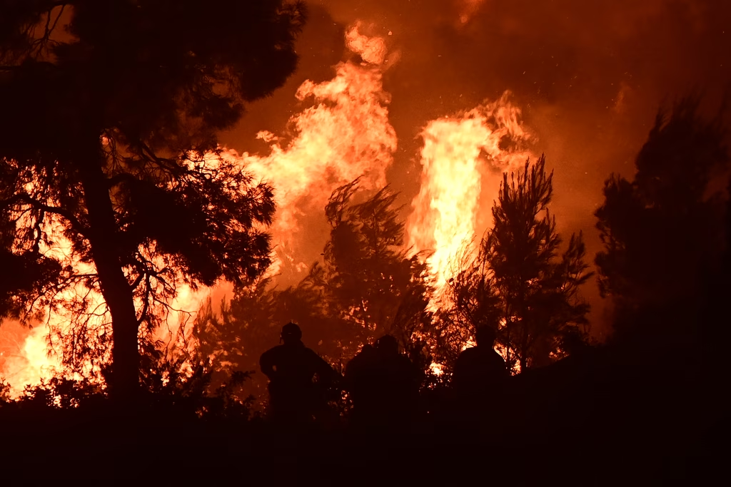
In Sithonia, Halkidiki, the fire broke out around midday Wednesday in the Mandinia area and is burning through pine forest.
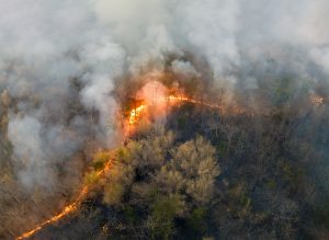
In Lasithi, Crete, the blaze is affecting farmland and forestland between Agia Fotia and the settlement of Skinokapsala, in the Ahlia region. Meanwhile, on Kythira, the fire is active in the Drymonas area.