 Μake us preferred on Google
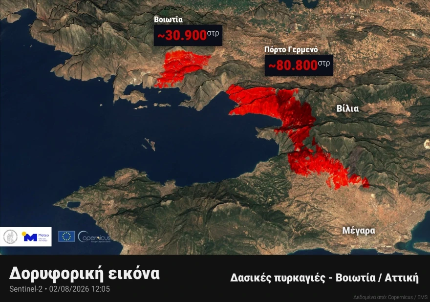
 More than 27,000 acres (111,000 stremmas) have been burned by the major wildfires that swept through parts of Attica and Boeotia, according to high-resolution satellite data analyzed by the National Observatory of Athens.
Beyond the destruction of homes and businesses, the fires have caused extensive damage to the region’s natural environment.
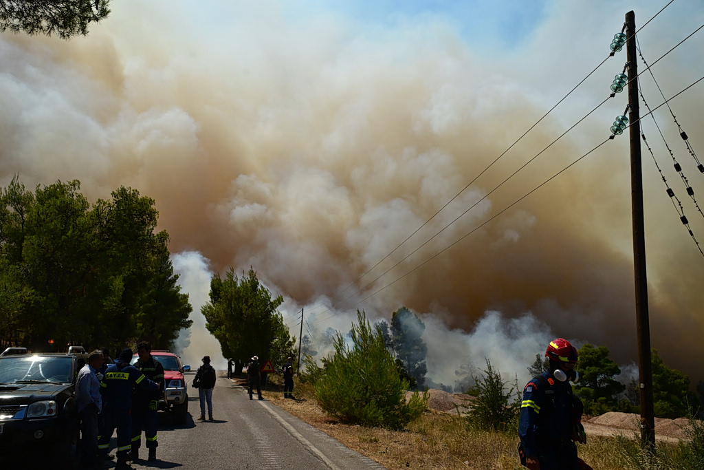
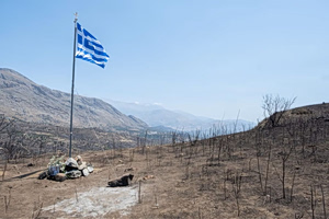
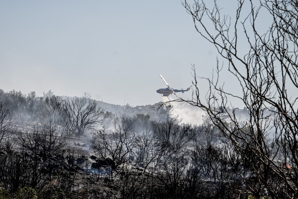
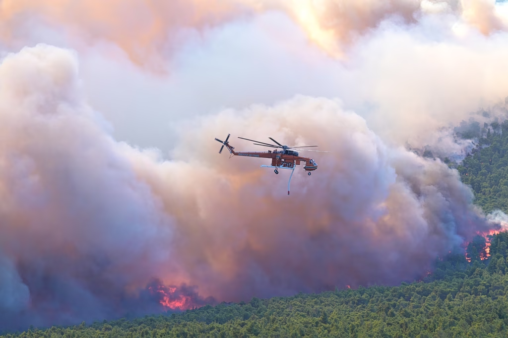
For a third consecutive day, firefighters continued battling the massive wildfire that began in Boeotia and spread into the Attica region, leaving behind extensive damage to residential areas and forestland, Sunday, Aug. 2, 2026.
The estimates are based on very high-resolution imagery captured by the Sentinel-2 satellite, which passed over Boeotia and Attica at midday on Sunday, Aug. 2, 2026. The images were processed by the meteo.gr team at the National Observatory of Athens.
According to the analysis of satellite data from the European Union’s Copernicus Emergency Management Service (Copernicus EMS), approximately 7,635 acres (30,900 stremmas) had burned in the Boeotia wildfire by 12:05 p.m. Sunday.
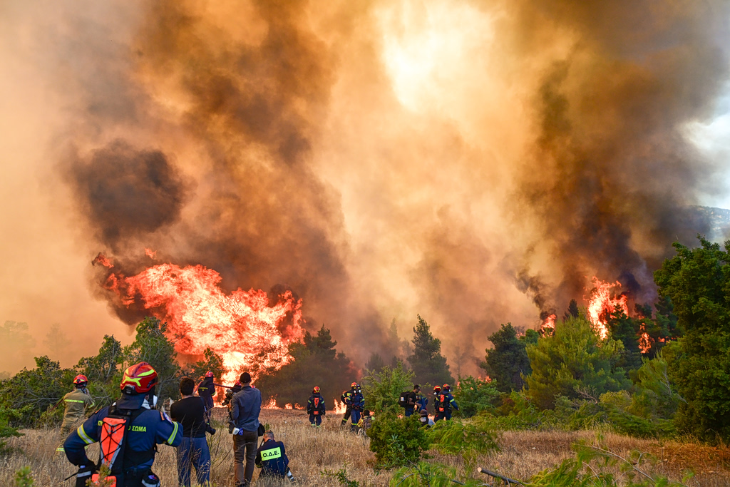
For a third consecutive day, firefighters continued battling the massive wildfire that began in Boeotia and spread into the Attica region, leaving behind extensive damage to residential areas and forestland, Sunday, Aug. 2, 2026.
The wildfire in Porto Germeno, in western Attica, had burned an estimated 19,970 acres (80,800 stremmas) by the same time and was still active.
In total, the two major wildfires had affected approximately 27,430 acres (111,000 stremmas) as of midday on Aug. 2, highlighting the scale of the devastation across central Greece.