 Μake us preferred on Google
 Desertification is emerging as a major environmental and socioeconomic threat in Europe, with Greece among the countries most severely affected, according to a new report by the European Commission’s Joint Research Centre (JRC).
The report finds that 72.74% of Greece’s territory shows at least one indicator of land degradation, compared with 56.4% across the European Union. More than one-third of the country’s total area, or 36%, is already affected by desertification.
Nearly half of Greece’s population — 47% — lives in areas directly affected by desertification, the second-highest share in Europe after Cyprus, where the figure is 61%.
What desertification means
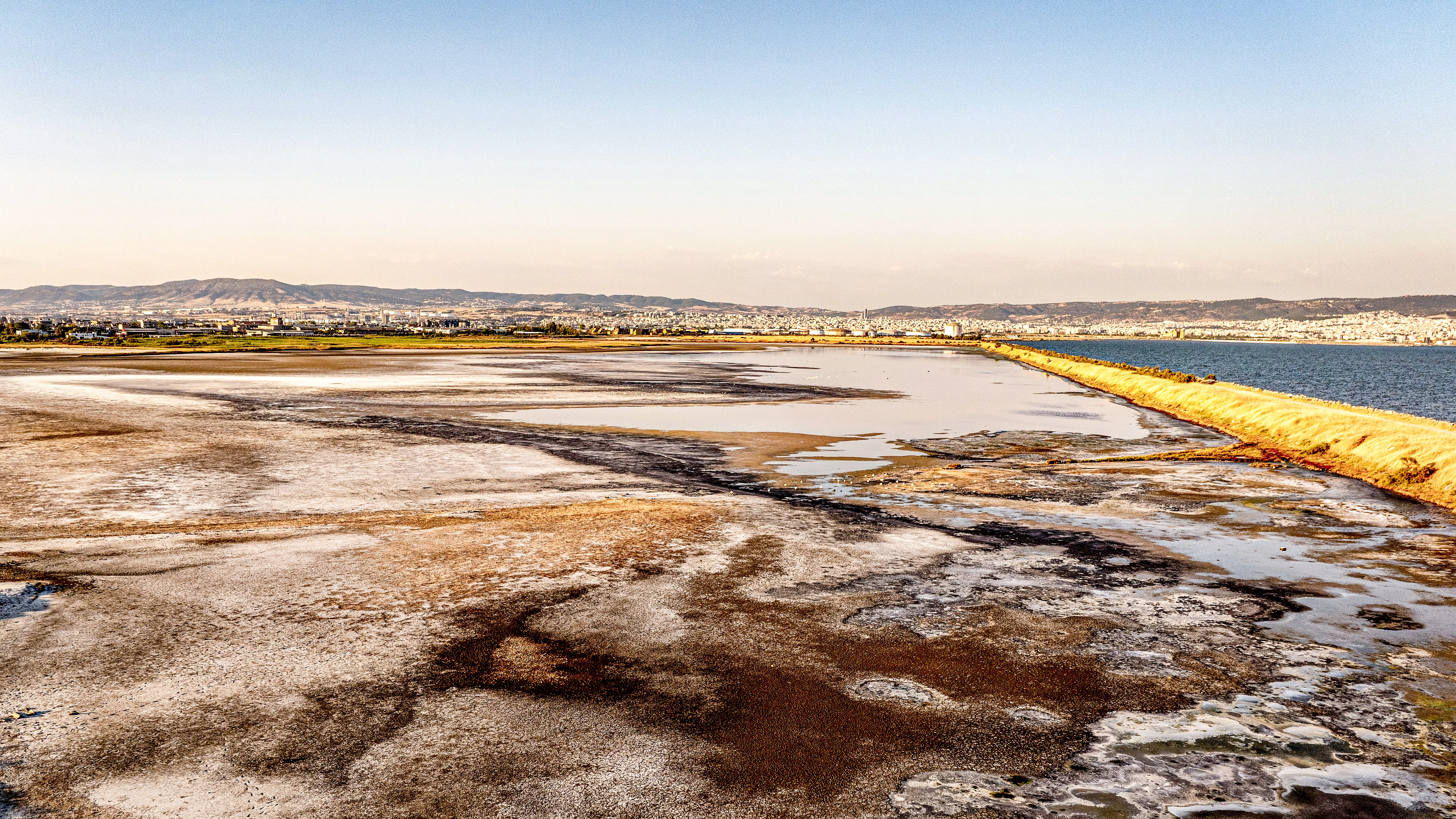
Desertification does not refer to the expansion of traditional deserts such as the Sahara. Under European legislation, it is defined as the degradation of land in arid, semi-arid and dry sub-humid areas caused by various factors, including climatic variations and human activity.
In practical terms, it describes land losing its ability to support vegetation, produce crops and sustain human communities.
The JRC report examines desertification as part of the broader degradation of land. It was co-authored by Dr. Panos Panagos, a Greek researcher who is a senior scientist at the JRC and head of the EU Soil Observatory.
Following recommendations from the European Court of Auditors, the JRC proposes a new methodology for identifying degraded soils and areas at risk of desertification. The approach uses scientific criteria and sub-indicators including declining soil health and productivity, as well as changes in land cover, such as forests, grasslands and ecosystems.
If at least one of these factors is present, an area is officially classified as degraded.
Greece among Europe’s hardest-hit countries
The extent of the problem places Greece third among European countries for the share of its territory affected by desertification.
Spain has the highest proportion, at 53%, followed by Cyprus at 45%. Greece ranks third at 36%, ahead of Portugal at 28%.
The figures are particularly significant because land degradation can have demographic, social and economic consequences. It can reduce the ability of land to support human communities and other forms of life and may contribute to people leaving affected areas.
Desertification has also been associated with a higher risk of poverty and social exclusion, as well as health problems linked to airborne dust.
Desertification and poverty
The JRC study also examines the relationship between environmental degradation and socioeconomic inequality.
The highest shares of people at risk of poverty and social exclusion are often concentrated in southern, rural, peripheral or structurally disadvantaged areas. The report stresses, however, that a correlation does not necessarily establish causation: it does not mean that desertification directly causes poverty, or vice versa.
Combining Eurostat social statistics with land-degradation indicators nevertheless provides a broader assessment of territorial vulnerability across Europe. It can help identify areas where environmental pressures overlap with socioeconomic weaknesses and where additional policy support may be needed for sustainable land-management measures.
In Greece, the JRC identifies seven regions where high exposure to desertification coincides with poverty rates above the national average of 27.5%:
North Aegean: 64% affected by desertification; 28% at risk of poverty
Eastern Macedonia and Thrace: 56.6% desertification; 31.6% at risk of poverty
Central Macedonia: 55.9% desertification; 33% at risk of poverty
Western Macedonia: 55.7% desertification; 29.5% at risk of poverty
Thessaly: 54% desertification; 30.5% at risk of poverty
Western Greece: 53.7% desertification; 27.9% at risk of poverty
Peloponnese: 51.55% desertification; 38.1% at risk of poverty
The Peloponnese has the highest poverty-risk rate among the regions listed, while the North Aegean has the highest share of land affected by desertification.
The wider European picture
Drylands currently cover about 15% of Europe, or 611,000 square kilometers — an area roughly twice the size of Italy. Some 86.56% of these drylands are affected by desertification.
Across the EU, desertification affects approximately 530,000 square kilometers, or about 12% of the bloc’s territory, with consequences for around 42 million people.
The countries with the highest shares of land affected by desertification are Spain at 53%, Cyprus at 45%, Greece at 36% and Portugal at 28%.
The report also identifies an additional 1,004,608 square kilometers of EU territory as being at increased risk of desertification under future scenarios based on the aridity index for 2021-2040. Many of these areas are outside those currently classified as drylands.
Climate change could expand the threat
Climate change projections indicate that the risk of desertification across the EU is expected to increase.
Rainfall is projected to become less frequent in some areas as droughts occur more often, while temperatures are expected to rise by more than 2 degrees Celsius in some regions by the end of the century. Over the same period, summer rainfall in southern Europe is projected to decline by 50% or more.
Climate modeling used in the JRC research indicates that dry conditions across the EU are expected to expand measurably over the next two decades.
Areas classified as dry, dry sub-humid or drier are projected to increase by around 5% to 10% of the EU’s territory, equivalent to an expansion of approximately 200,000 to 400,000 square kilometers.
Semi-arid zones are also expected to expand, by an estimated 2% to 5%, or approximately 80,000 to 200,000 square kilometers.
The most significant changes are projected in Southern Europe, particularly Spain, Italy, Greece and the Balkans, where drying trends are already evident. Transitional areas, including parts of France, Hungary and Romania, are also expected to experience gradual shifts toward drier climate conditions.