 Μake us preferred on Google
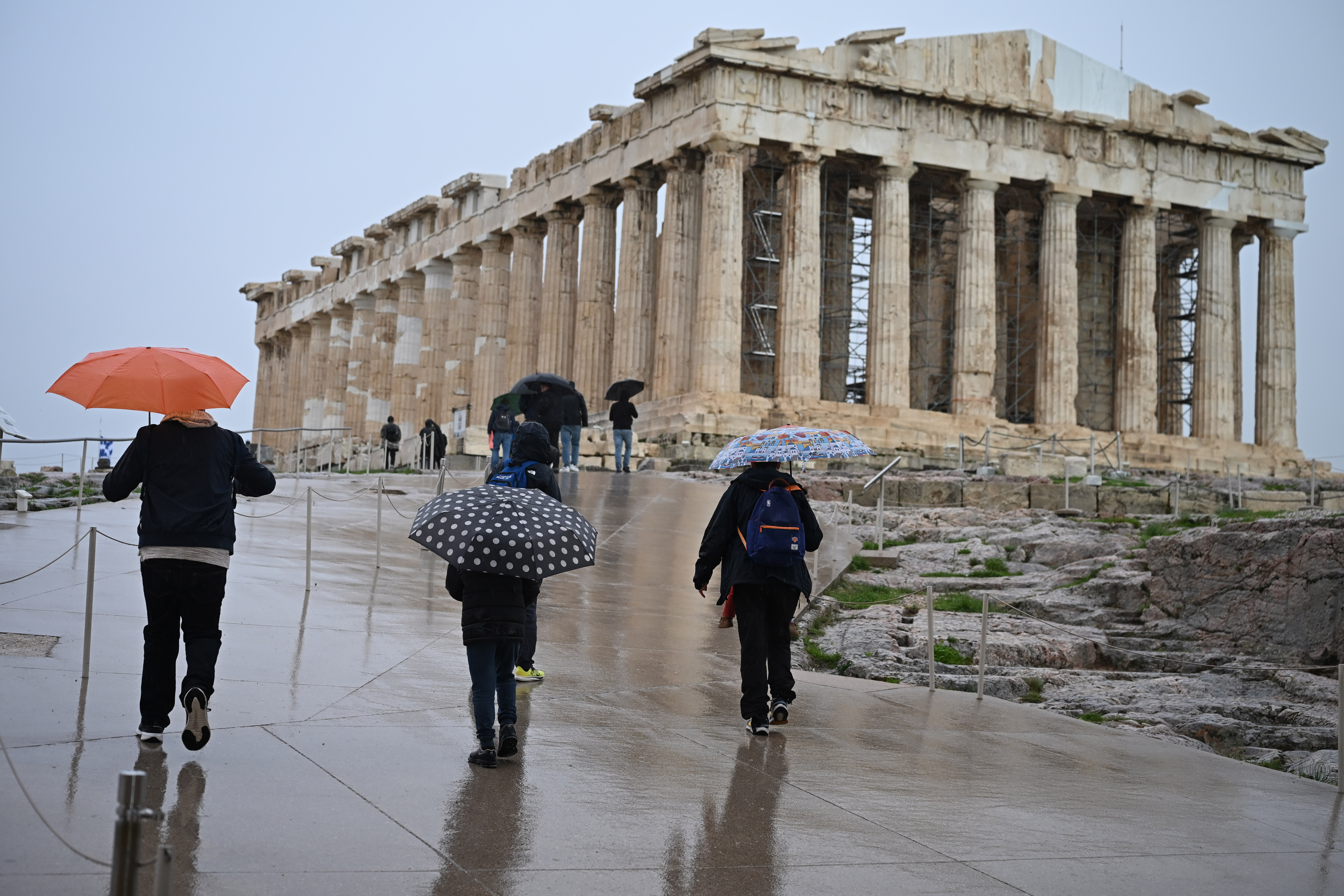
Greece is set for a break from the severe weather Thursday, Oct. 29, as days of persistent rainfall gradually give way to calmer conditions across much of the country.
Clouds and local rain will remain, particularly across northeastern and eastern mainland Greece, Evia, the Aegean islands and Crete. However, the rain is expected to weaken progressively, becoming largely confined to Crete by the afternoon.
Lighter rainfall is also forecast in Magnesia, eastern Central Greece and parts of Thrace, while isolated thunderstorms remain possible over maritime areas, primarily in the Aegean, through midday.
By the afternoon, any remaining showers are expected to become scattered and highly localized.
The improvement follows significant rainfall Wednesday, when some of the highest totals were recorded in Magnesia and the Sporades island group.
As of 5:40 p.m. Wednesday, Portaria in Magnesia had recorded 112 millimeters of rain and Zagora 104 millimeters, while Skiathos in the Sporades received 102 millimeters, according to measurements from the National Observatory of Athens’ network of automated weather stations.
View this post on Instagram
Temperatures Remain Relatively Low
Temperatures will remain relatively low for the season Thursday, although they are expected to rise slightly.
Western Macedonia will see temperatures between 3 and 15 degrees Celsius, while the rest of Macedonia and Thrace will range from 8 to 21 degrees.
Temperatures are forecast at 7 to 19 degrees in Thessaly, 5 to 18 in Epirus and 7 to 21 across Central Greece and the Peloponnese.
The Ionian islands will see temperatures between 10 and 19 degrees, compared with 11 to 18 on the northern and eastern Aegean islands and 14 to 18 in the Cyclades and Dodecanese. Crete will range from 10 to 19 degrees.
Atmospheric dust concentrations are expected to remain relatively elevated in northern and eastern Greece.
Northerly winds will dominate at sea. Winds in the Aegean will generally reach 4 to 6 on the Beaufort scale, locally rising to 7 in the central and northern Aegean. Winds in the Ionian will be lighter, generally around 3 to 4 Beaufort.
Athens Sees Rain Before Conditions Improve
Attica, the wider Athens region, will remain cloudy through much of the morning, with local rain expected primarily in northern and eastern areas before conditions improve.
Temperatures in Athens will range from around 11 to 19 degrees Celsius. Northerly winds will reach up to 4 to 6 Beaufort.
Thessaloniki will see thin clouds that are expected to thicken later in the evening, with cloudier conditions throughout the day along southern coastal areas.
Temperatures in the city will range from about 10 to 20 degrees Celsius, with northerly winds reaching up to 5 Beaufort.
More Rain Forecast Into Weekend
The improvement Thursday will not bring completely settled weather heading into the weekend.
Friday is expected to be largely cloudy, with brief, localized rain across much of the country, except Thrace and the eastern Aegean.
Temperatures will dip slightly, reaching around 17 to 19 degrees Celsius in central and northern Greece and 20 to 22 degrees in western and southern areas.
Northerly winds in the Aegean will generally reach 3 to 5 Beaufort, temporarily rising to 6 in northern areas, while winds in the Ionian will be light and variable.
Similar conditions are forecast Saturday, with increased cloud cover, local rain and scattered thunderstorms expected mainly in western and southern coastal areas.
Temperatures will remain largely unchanged, with daytime readings of around 17 to 21 degrees Celsius and northerly winds reaching up to 5 Beaufort.