 Μake us preferred on Google
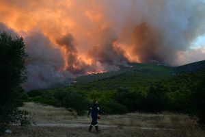
 Several regions of Greece have been placed under a very high wildfire risk (Category 4) for Tuesday, August 4, according to the country’s Daily Fire Risk Forecast Map issued by the General Secretariat for Civil Protection.
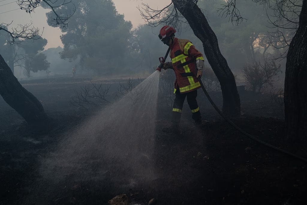
Authorities warned that weather conditions significantly increase the likelihood of wildfires breaking out and spreading rapidly, prompting heightened preparedness across the national emergency response system. Citizens have also been urged to exercise extreme caution.
Areas Under a Category 4 Wildfire Warning
The following areas have been placed under a Category 4 (very high risk) alert:
- Attica
- The islands of Chios and Psara
- Parts of Evia (Euboea)
Meanwhile, Category 3 (high risk) conditions are forecast for several other mainland and island regions.
NEWSLETTER TABLE TALK
Never miss a story.
Subscribe now.
The most important news & topics every week in your inbox.
The daily fire risk map forms a key part of Greece’s national wildfire prevention and response strategy under the country’s “IOLAOS 2” emergency plan. Issued every day during the wildfire season, it is designed to help authorities coordinate resources, improve preparedness, and protect lives, property, and the natural environment.
Understanding Greece’s Fire Risk Levels
The forecast map uses five risk categories:
- Category 1 – Low: Wildfire ignition is unlikely, and any fires that occur are not expected to spread rapidly.
- Category 2 – Moderate: Typical summer fire risk, with fires generally manageable by emergency services.
- Category 3 – High: Increased likelihood of multiple wildfires, some of which may become difficult to control under favorable local conditions such as strong winds or challenging terrain.
- Category 4 – Very High: Numerous fires may occur, and any wildfire that escapes initial suppression could quickly grow into a major incident.
- Category 5 – State of Alert: The highest warning level, indicating an extreme risk of numerous large, fast-moving wildfires that are expected to be exceptionally difficult to contain until weather conditions improve.
Fire Prevention Advice
Civil Protection authorities urged the public to avoid activities that could ignite fires, including:
- Burning dry vegetation or waste outdoors.
- Using barbecues in forests or near dry grass.
- Carrying out work that produces sparks, such as welding or grinding.
- Discarding lit cigarettes.
- Leaving trash or glass bottles in wooded areas.
- Parking vehicles on dry grass.
- Ignoring forest access restrictions during periods of elevated fire danger.
Anyone who spots a wildfire should immediately call the Fire Service at 199, providing the exact location, the type of vegetation burning, the fire’s direction, and local wind conditions. If mobile service is limited, the 112 European emergency number is also available free of charge.
Recommendations for Residents Near Forests
Authorities also advised residents living in or near forested areas to prepare their properties by clearing dry vegetation around homes, pruning trees, removing combustible materials, maintaining firefighting equipment, and ensuring an adequate water supply where possible.
If a wildfire approaches, residents are urged to remain calm, close doors and windows, remove flammable materials from around their homes, and follow all instructions issued by emergency authorities. If an evacuation order is issued, it should be followed immediately using the designated evacuation routes.