 Μake us preferred on Google
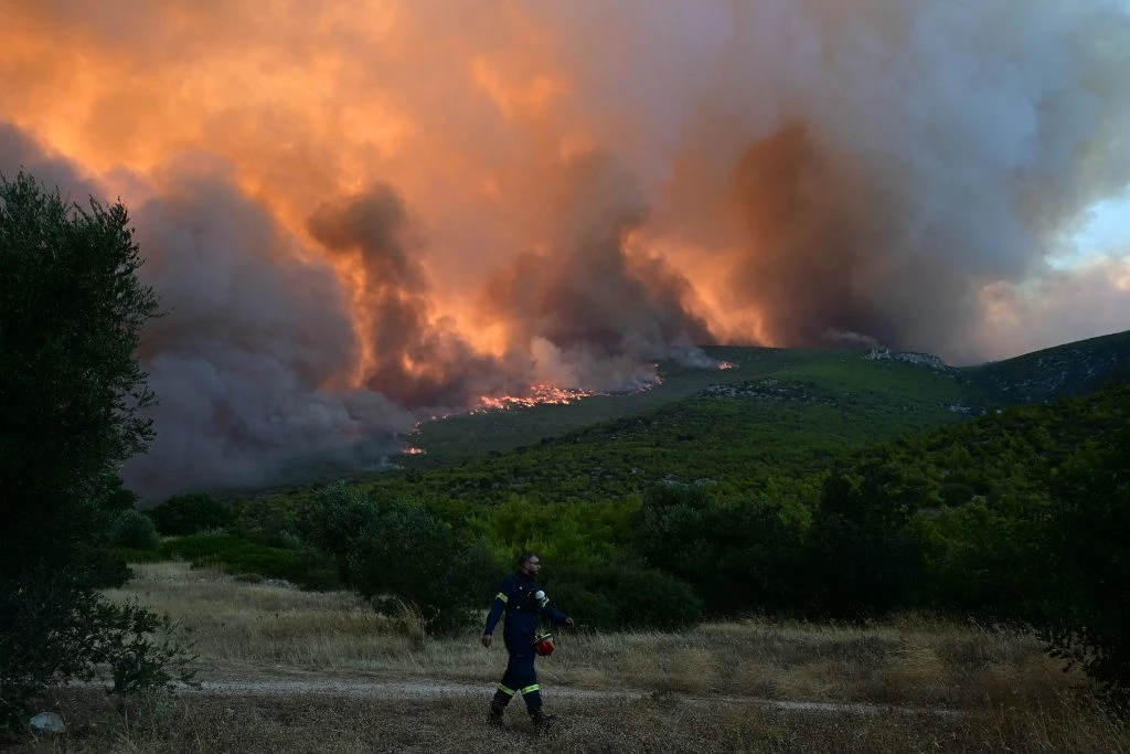
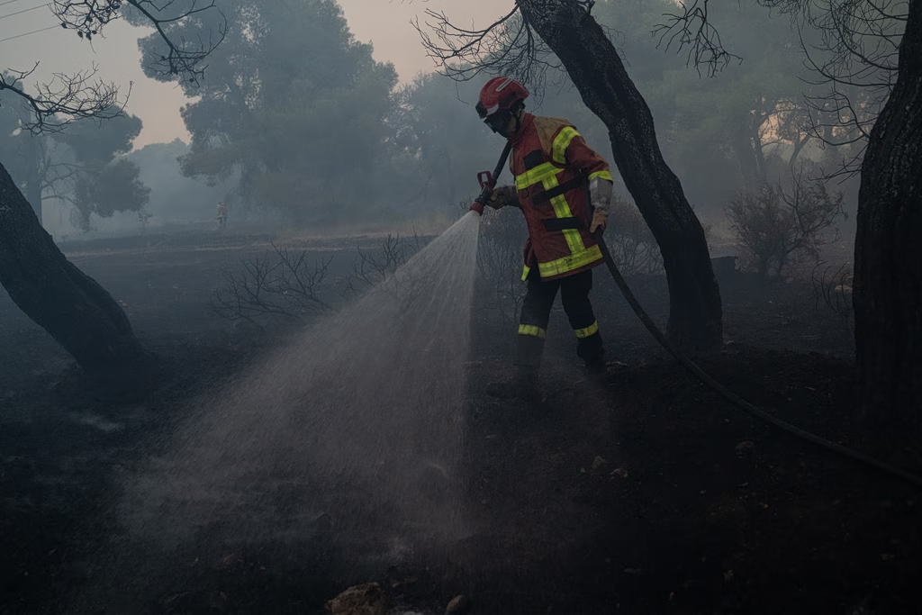
 More than 130,000 stremmata (13,000 hectares, or about 32,000 acres) have burned in western Attica over the past four days, according to the latest satellite analysis from the European Union’s Copernicus Earth observation program, underscoring the scale of one of Greece’s most destructive wildfires.
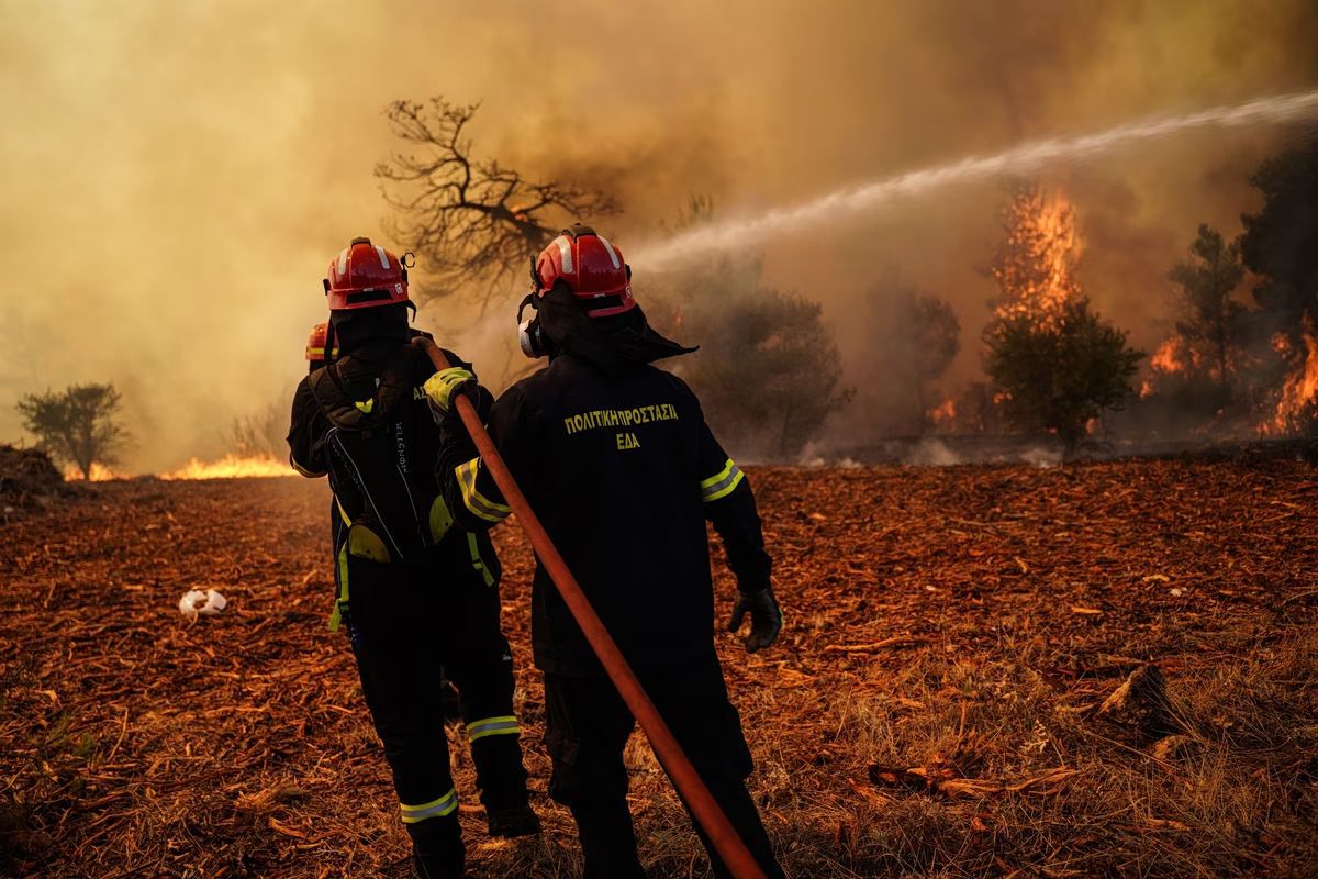
Powerful winds, steep terrain and the fire’s vast footprint severely hampered firefighting efforts, forcing crews to battle multiple fronts simultaneously. Authorities said conditions improved at first light, allowing firefighting aircraft to resume water-dropping operations.
Flare-Up Near Loumba Triggers Fresh Alarm
Firefighters were forced to respond to a significant flare-up about 2 kilometers (1.2 miles) north of Loumba, between Loumba and Psatha, where flames spread through dense pine forest. The flare-up prompted the immediate deployment of additional ground crews and specialized forest firefighting teams.
The situation eased after sunrise as aerial resources rejoined the operation, carrying out repeated water drops to contain the fire.
Homes and Farmland Threatened in Psatha
The fire situation around Psatha has improved compared with previous hours, when flames were advancing uncontrollably near residential areas.
Despite intensive firefighting efforts, homes, agricultural land and cultivated fields were destroyed. Authorities have not yet released an official assessment of the number of homes damaged or lost.
On Monday, Greece’s 112 emergency alert system ordered residents of Psatha, Loumba, Morfeika and Ano Alepochori to evacuate toward Megara.
Firefighters Hold Defensive Lines
In the sparsely populated area of Loumba, firefighters, supported by heavy machinery, worked to establish firebreaks while engines were positioned outside homes in an effort to stop the flames from reaching residential properties.
Police also closed the Megara-Alepochori provincial road near Zachouli, about 20 minutes from Psatha, allowing access only to firefighting vehicles, water tankers and volunteer responders.
Flare-Up Risk Remains High
Firefighters continue to battle scattered hotspots across the fire zone, where even a small ignition could rapidly develop into a major flare-up under the prevailing conditions. The danger is particularly acute overnight, when firefighting aircraft are grounded and containment efforts rely solely on ground crews and residents protecting their properties.
Very High Fire Danger Continues
Greece’s Civil Protection authority has placed Attica, Evia and Chios under a very high wildfire risk (Level 4) for Tuesday, warning that conditions remain favorable for the rapid spread of new fires.
⚠️Χάρτης Πρόβλεψης Κινδύνου 🔥για αύριο Τρίτη 04/08
🟠Πολύ υψηλός κίνδυνος 4️⃣σε:
📍 #Αττική
📍#Χίο #Ψαρά
📍περιοχές #Εύβοιας🟡Υψηλός κίνδυνος 3️⃣σε αρκετές περιοχές της νησιωτικής και ηπειρωτικής χώρας
🚨👉 Επιχειρησιακή ετοιμότητα του Πυροσβεστικού Σώματος:… pic.twitter.com/dzctJ9gohc
— Πυροσβεστικό Σώμα (@pyrosvestiki) August 3, 2026