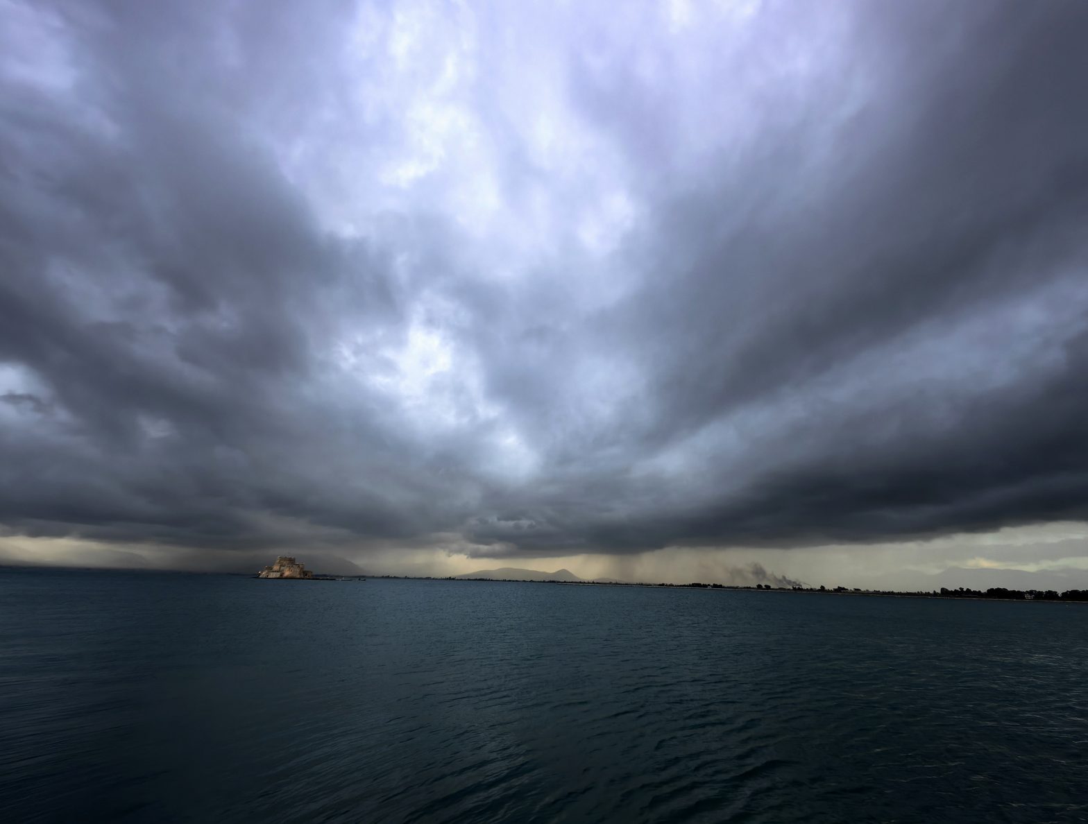
Severe weather is expected to hit large parts of Greece this weekend, with meteorologist Giorgos Tsatrafyllias issuing warnings for heavy storms, strong winds, and significant temperature drops.
The areas at highest risk from early Sunday include Ilia, Achaia, Messinia, and Zakynthos. Secondary risk zones include Kefalonia, Ithaca, Arcadia, and Aetolia-Acarnania, where intense weather is also forecast.
Authorities have issued cautions for maritime transport from Friday through Saturday, particularly in the central and northern Aegean, due to gale-force northerly winds. Temperatures are expected to drop by 6 to 8 degrees Celsius from Saturday onwards.
Regional Outlook:
- Western Greece & Ionian Islands: Localized showers and thunderstorms, mainly in mountainous areas, with improving conditions by evening. Winds up to 5 Beaufort, northerly.
- Northern Greece: Mostly clear with occasional clouds, with isolated thunderstorms possible in mountainous areas. Winds 3–5 Beaufort, increasing at night.
- Central & Eastern Greece: Scattered clouds with local rain or isolated storms, mainly in the mountains. Winds 3–5 Beaufort.
- Aegean Islands & Crete: Generally clear skies with occasional clouds; localized showers or thunderstorms in western Crete. Winds 4–7 Beaufort.
Daily Forecast Highlights:
- Friday: Cloudy in eastern mainland, Sporades, Evia, and Crete, with light local rain. Northern and central regions may see temperatures drop to 26–27°C. Winds 4–8 Beaufort in the Aegean.
- Saturday: Increased clouds and local showers in mainland and Crete. From afternoon, sporadic thunderstorms intensify in western areas, potentially strong overnight in the Ionian and western Peloponnese. Winds 3–8 Beaufort depending on location.
- Sunday: Heavy cloud cover across much of the country, with local rain and scattered thunderstorms, particularly in the Ionian, mainland, and Crete. Strong storms likely in western areas. Winds 4–7 Beaufort. Temperatures continue to fall slightly.
Meteorologists advise residents and travelers to monitor updates as the storm progresses and take precautions, especially in coastal and western regions.