 Μake us preferred on Google
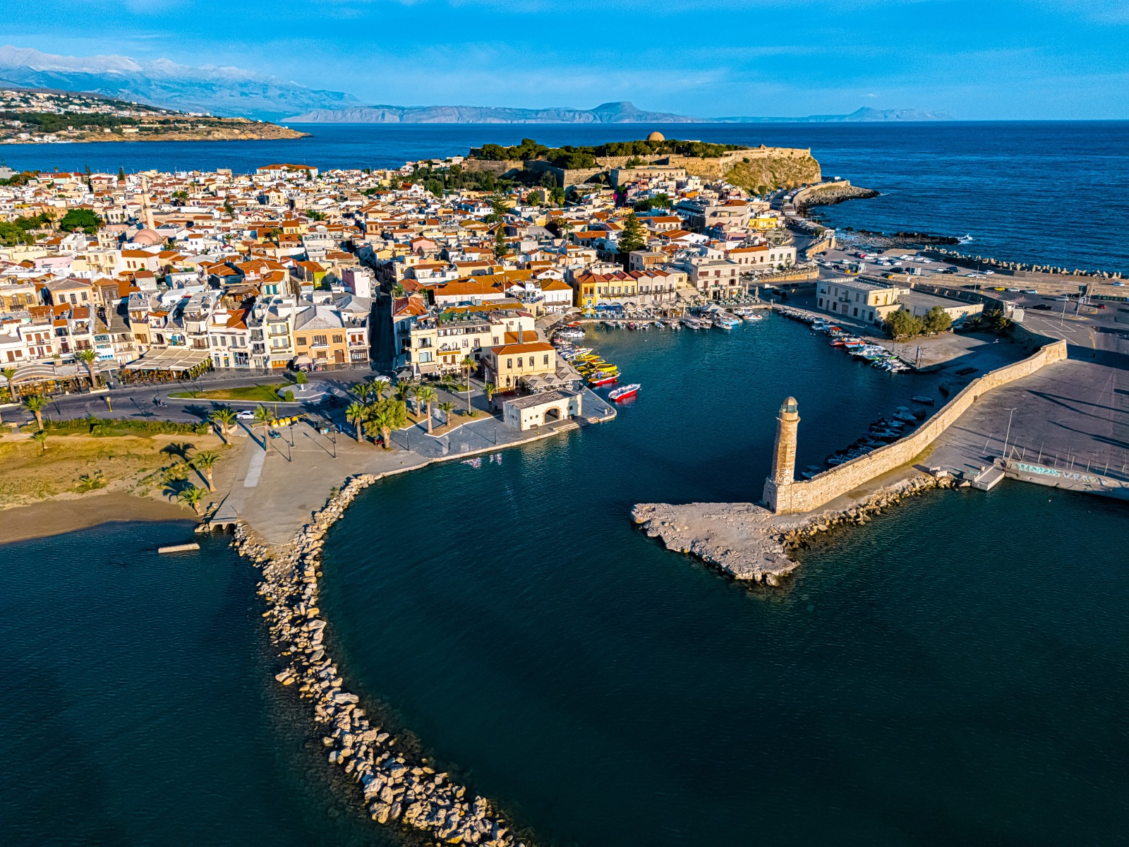
The coastal city of Rethymno, on the Greek island of Crete, needs to prepare for a possible tsunami, a leading Greek seismologist has warned, calling for evacuation plans to protect residents and tourists.
Efthymios Lekkas, a professor of dynamic tectonics, applied geology and natural disaster management at the National and Kapodistrian University of Athens and president of Greece’s Earthquake Planning and Protection Organization (OASP), raised the issue at the three-day Rethymno Blue Shield conference organized by the municipality.
“Rethymno must be prepared for a tsunami,” Lekkas said, presenting preliminary findings from an updated seismic risk assessment being conducted by his research team.
He stressed that the threat is real and has been scientifically calculated, although he clarified that a tsunami affecting Rethymno would not be comparable in scale to the catastrophic events that have struck countries such as Japan, Indonesia and Chile.
The main challenge, he said, is developing an effective plan to evacuate residents and visitors safely, particularly during the summer, when the city’s population swells with thousands of tourists staying in hotels along the coast.
Two Areas of Rethymno Present Particular Challenges
The new assessment identifies two parts of the city where evacuation could prove especially difficult.
The first is the eastern part of Rethymno, where extensive residential and tourism development has created a densely built environment. The concentration of hotels and tourist activities, combined with low-lying terrain and the characteristics of the local road network, could complicate efforts to move people to safety.
The second is Rethymno’s Old Town, where the layout of the streets and buildings also presents significant obstacles to evacuation.
Lekkas said the Northern Road Axis of Crete (BOAK), could help reduce the impact of tsunami waves because of its elevated position. However, he cautioned that the roads connecting to the highway present additional challenges that must be considered in evacuation planning.
Lessons From Japan, the Indian Ocean and Samos
To illustrate the importance of preparation, Lekkas presented footage from several major tsunamis, including the 2004 Indian Ocean disaster, triggered by a magnitude 9 earthquake, and the tsunami that struck Japan in 2011.
He also highlighted a Greek example: the tsunami that hit the eastern Aegean island of Samos in 2020, flooding entire blocks in the town of Vathy.
The 2004 Indian Ocean tsunami devastated coastal tourist areas, while the footage from Samos showed how flooding could affect built-up areas even in a smaller-scale event.
Lekkas said his research team has studied these disasters to better understand how tsunamis develop and behave, as well as to identify weaknesses in emergency preparedness and response systems.
The findings have informed the updated seismic protection study being prepared for Rethymno, which will be presented in detail at a forthcoming conference.
Rethymno Builds on Decades of Seismic Planning
Despite the challenges identified in the assessment, Lekkas said Rethymno is better prepared than many other Greek municipalities when it comes to planning for natural disasters. “The Municipality of Rethymno has a significant advantage over other municipalities in the country: It has extensive experience in scientific planning for natural hazards,” he said.
He pointed to a seismic microzonation study carried out in 1998, during the administration of then-Mayor Dimitris Archontakis. The study, which assessed variations in seismic risk across different parts of the municipality, was considered pioneering in Greece at the time.
The current research is being conducted under an agreement between the Municipality of Rethymno and the National and Kapodistrian University of Athens. Led by Lekkas and his team, the project aims to reduce seismic risk and update and improve the municipality’s overall earthquake emergency planning.
The revised study also addresses the potential tsunami threat, taking into account the city’s geography, urban development and evacuation challenges. Its full findings and the proposed emergency planning measures will be presented at a forthcoming event.