 Μake us preferred on Google
Greece is expected to get a brief break from severe weather on Thursday and Friday before a new storm system brings widespread rain, thunderstorms and snow to mountainous areas over the weekend, according to meteorologist Klearhos Marousakis.
The latest rainfall and thunderstorms were expected to ease gradually on Thursday, October 29, with conditions improving across much of the country. However, the respite is likely to be short-lived, as a new weather system is forecast to move eastward across Greece beginning Saturday.
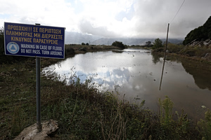
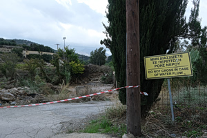
The previous hours brought heavy rainfall to areas including Magnesia, Evia and the Dodecanese islands, where weather-related problems were reported.
Where rain is expected on Thursday
Rain and thunderstorms were forecast to persist initially across eastern and southern Greece before gradually retreating from north to south.
Through the late morning, showers were expected mainly in areas south of central and southern Evia, including Attica and Boeotia, the Cyclades, Crete and the Dodecanese. Localized thunderstorms were also expected over the southeastern Aegean.
Elsewhere, sunshine and clouds were expected to alternate as conditions gradually improved.
Northerly winds were forecast to remain strong, and locally very strong, across the central, southern and southeastern Aegean before gradually weakening.
Afternoon temperatures on the mainland were expected to reach 20-22 degrees Celsius in the south and 18-20 degrees across most other areas.
Forecast for Athens and Thessaloniki
In the Attica region surrounding Athens, rain fell during the early hours of Thursday, with locally heavy showers. The rainfall was expected to become increasingly confined to the eastern and northern parts of the region.
Strong northerly winds were forecast in some areas, while temperatures in central Athens were expected to reach 18-19 C.
In Thessaloniki, periods of sunshine were expected alongside localized cloud cover. A few showers remained possible in the nearby Halkidiki peninsula. The city’s northerly Vardaris wind was expected to remain locally strong before easing around midday, with temperatures also reaching 18-19 C.
New storm system to spread across Greece this weekend
The weather is expected to deteriorate again from Saturday as very cold air masses move south from northern and northeastern Europe.
According to Marousakis, these air masses will encounter the relatively warm waters of the Adriatic and central Mediterranean, creating new atmospheric disturbances and low-pressure systems.
The resulting weather system is expected to approach Greece from the west. Rain will begin in western areas on Saturday before spreading to more parts of the country. On Sunday, the conditions are forecast to intensify, affecting a large part of Greece.
The new system is expected to cover a broader area than the recent spell of severe weather, which primarily affected regions east of the Pindus mountain range.
Colder, wetter conditions expected in early November
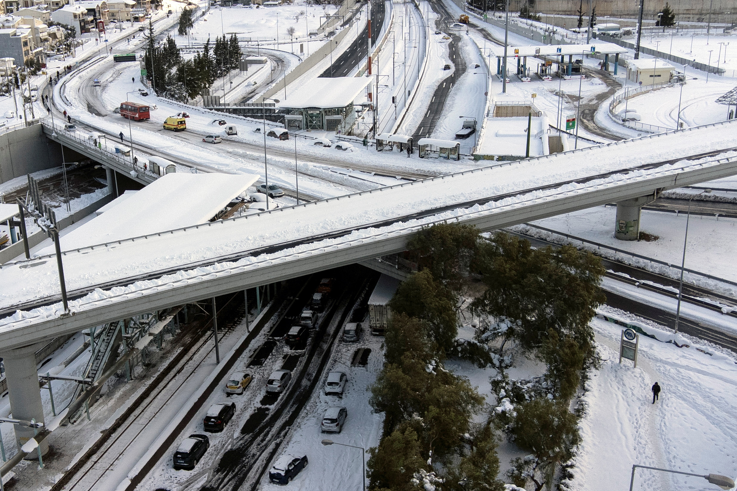
The coming weather systems are expected to bring prolonged rainfall, locally severe thunderstorms — particularly in coastal and offshore areas — and snowfall in mountainous regions, especially across central and northern mainland Greece. Temperatures are also expected to fall again.
“We are entering a winter-like weather pattern over the next several days,” Marousakis said.
Preliminary forecasts point to an increased likelihood of substantial rainfall, lower temperatures and mountain snow during the first 10 days of November.
The meteorologist also urged particular caution because November has historically been associated with devastating floods and loss of life in Greece.
The improving conditions expected on Thursday and Friday are therefore likely to provide only a brief pause before the return of rain and thunderstorms, with the weekend marking the start of a more winter-like period.