 Μake us preferred on Google
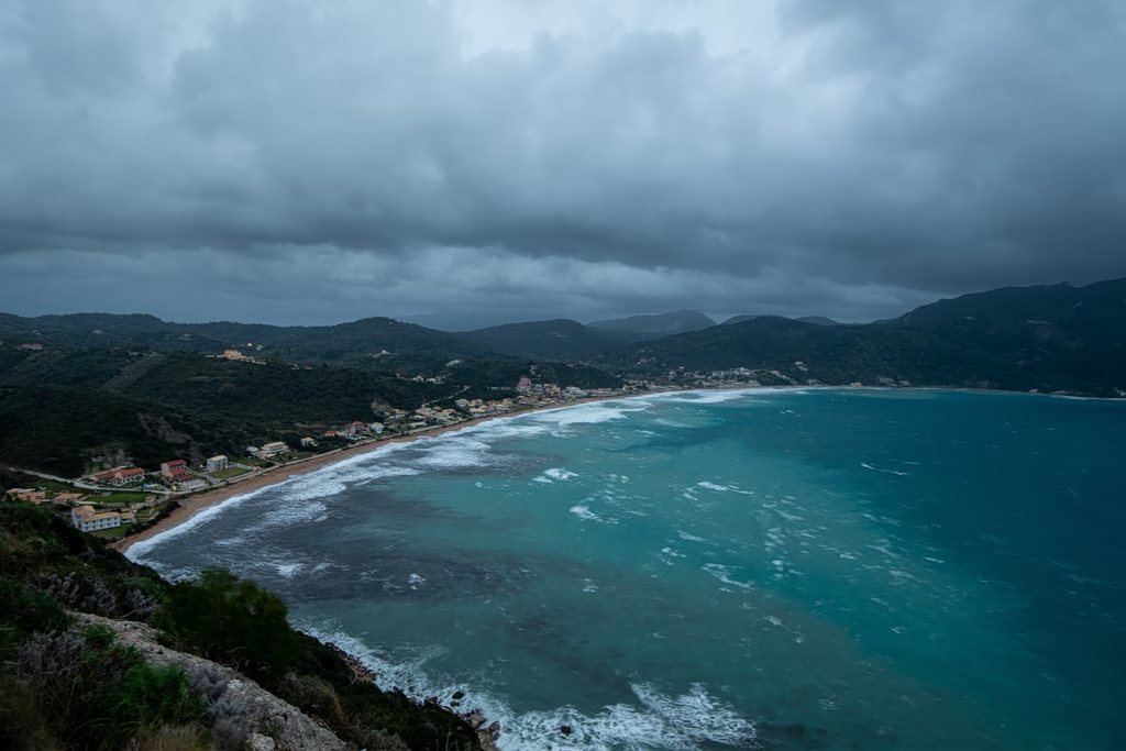
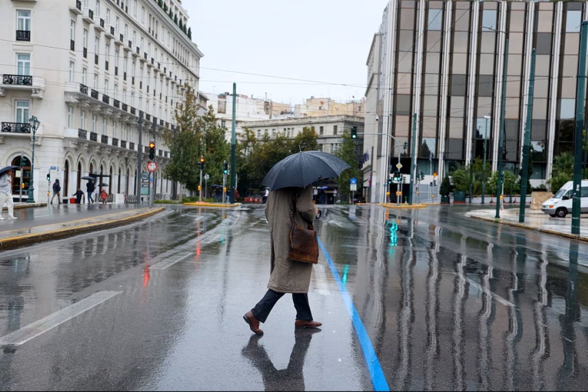
 Greece’s weather picture is shifting, with rain and thunderstorms forecast mainly across the western regions of the country. Moderate winds are expected over the South and East Aegean, while temperatures are set to hold steady.
On Tuesday, rain and thunderstorms will break out around midday, primarily affecting Western Greece, the Peloponnese, the Ionian Islands, western Crete, and mountainous areas of central Greece and Macedonia. Cloud cover will build across nearly the entire country from the morning hours onward, with conditions intensifying over Crete and the southern Peloponnese by evening. Meanwhile, the dust concentrations that have been lingering in the atmosphere are expected to clear from the early morning.
Temperatures will range from 11 to 25 degrees Celsius in Western Macedonia; 11 to 29 in the rest of Macedonia and Thrace; 11 to 30 in Epirus; 13 to 29 in Thessaly; 11 to 31 across central mainland Greece; 11 to 29 in the Peloponnese; 12 to 30 in Crete; 13 to 29 in the Ionian Islands; 17 to 27 in the North and Northeast Aegean islands; and 20 to 28 in the rest of the Aegean islands.
Winds over the Aegean will blow from the north and northwest at 4 to 5 Beaufort, while lighter winds of 2 to 3 Beaufort from the north and northeast are expected in the southwest Aegean. Over the Ionian Sea, winds will stay light, reaching up to 3 Beaufort from variable directions in places.
In Attica, cloud cover will build intermittently through the day, with light winds from the north and northeast reaching up to 3 Beaufort locally. Temperatures will range from 15 to 29 degrees.
In Thessaloniki, clouds will gather from the morning, with a chance of light rain in the afternoon. Winds will be light, at 2 to 3 Beaufort, blowing mainly from the south and southeast. Temperatures will range from 16 to 30 degrees.