 Μake us preferred on Google
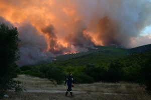
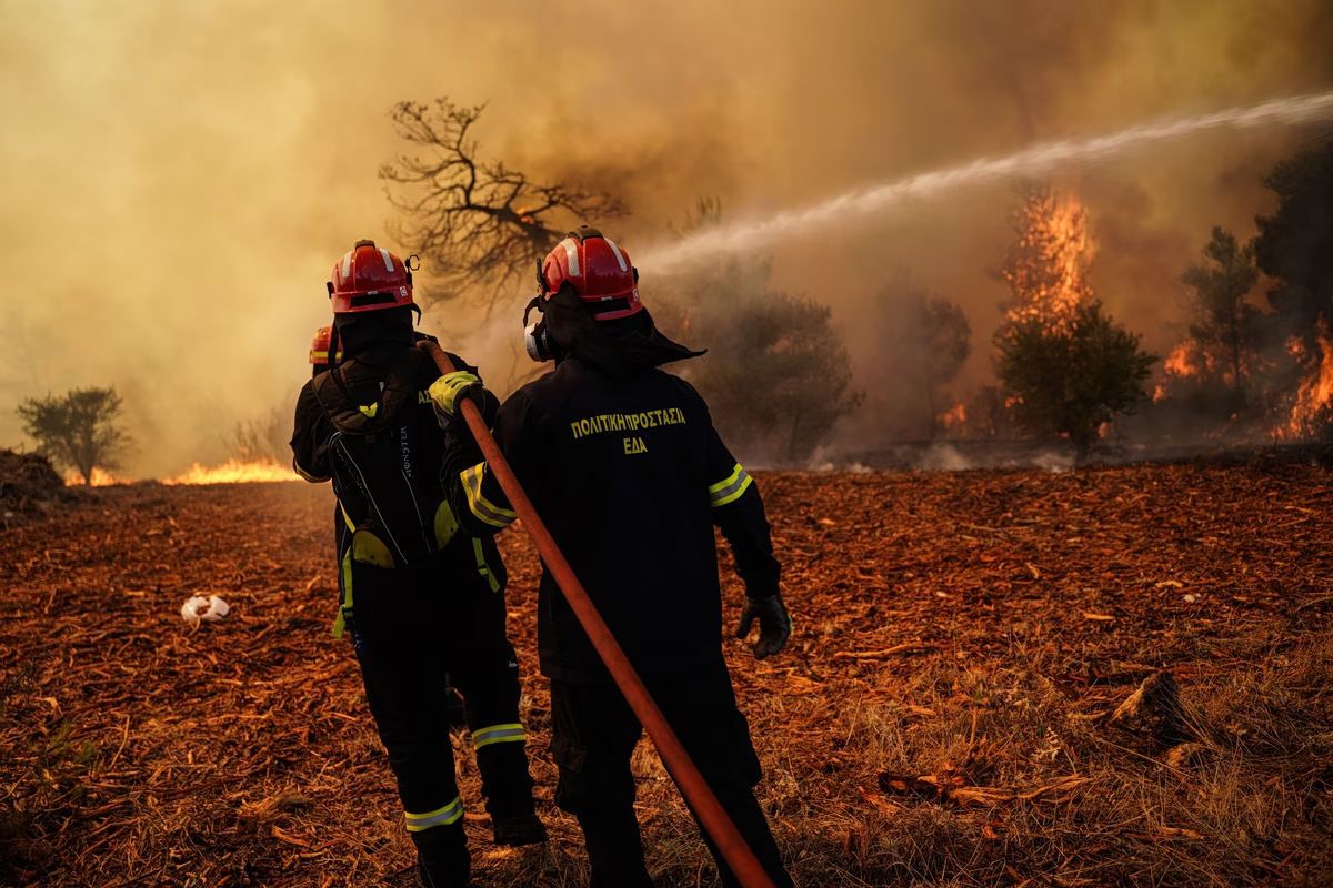
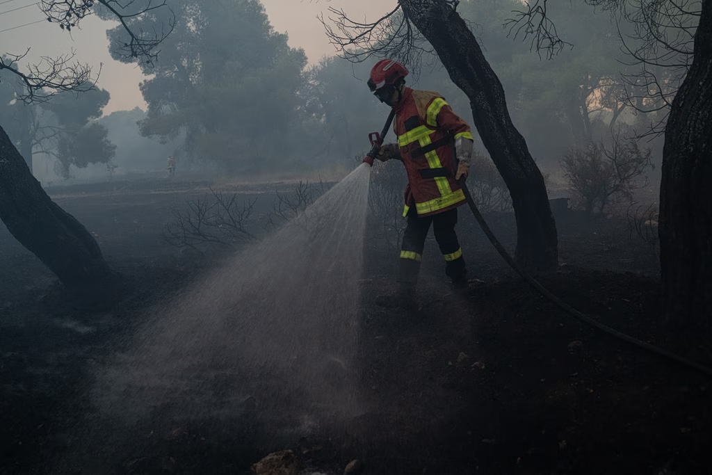
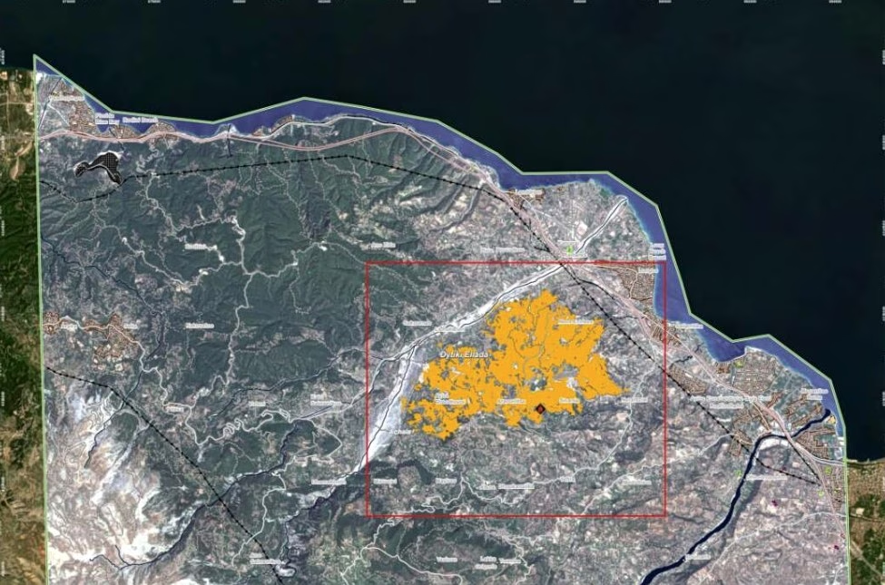
 More than 1,779 acres of land were burned by the wildfire that broke out on July 31 in the Panorama and Nerantzies areas of Aigialeia municipality, according to data from the Copernicus Emergency Management Service.
The total affected area was estimated at 1,779 acres, based on mapping products released by the European service, highlighting the scale of the destruction caused by the blaze.
The Copernicus Emergency Management Service – Mapping component was activated by the Directorate for Emergency Planning of the General Secretariat for Civil Protection, which serves as Greece’s national contact point, following an order from the Secretary General for Civil Protection.
The activation aimed to produce specialized maps and geospatial data to support the work of relevant authorities, both during the emergency response and in managing the aftermath of the wildfire.
Alongside the announcement, Copernicus also published the relevant maps and a table documenting the burned area.