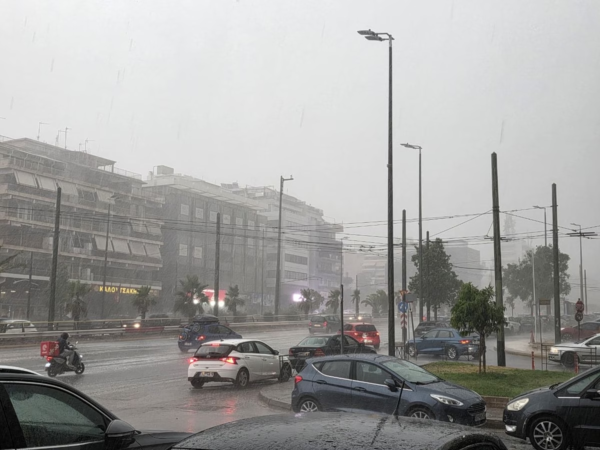
Temperatures will fall across much of the country from Sept. 8, with stronger northerly winds in the Aegean and showers and thunderstorms possible in parts of mainland Greece from Wednesday.
Mostly sunny conditions are forecast across the country, with temperatures remaining high for the season and northerly winds reaching up to 7 Beaufort in parts of the Aegean.
Showers and isolated thunderstorms are expected in parts of Greece on Wednesday and Thursday, with temperatures beginning to fall in the west and north before easing further on Friday
Mostly sunny conditions will dominate the start of the month, with temperatures reaching 37 C before stronger northerly winds bring a modest drop by Thursday
Short-lived rain and thunderstorms expected midweek, mainly inland and in mountain areas, before clearing by the weekend
Mostly clear conditions will prevail Monday, with afternoon showers possible in mountainous areas of western and northern Greece and strong northerly winds in the Aegean
According to the Hellenic National Meteorological Service (EMY), the weather will generally be clear, with localized cloud cover over mainland areas mainly during the afternoon
Cooler conditions are expected by the weekend, but fire risk remains high across several regions
Temperatures remain high across most of Greece, with some areas reaching 39°C and a Red Code fire warning in the Ionian Islands. Cooler conditions are expected from Thursday.
Temperatures are expected to reach 39 degrees Celsius on Friday, with mostly clear skies and strong northerly winds continuing across much of the country through the weekend
Mostly clear skies are forecast across Greece, with scattered mountain showers and possible thunderstorms in the north, while temperatures remain near seasonal levels
Temperatures are expected to rise noticeably, reaching 31-33 degrees Celsius on the islands and 33-35C across mainland Greece.
Mostly sunny conditions are forecast across Greece, with temperatures climbing as high as 36°C in parts of the mainland, while isolated showers and thunderstorms may develop in western mountain areas
Temperatures will drop sharply from Friday as northerly winds strengthen across the Aegean, reaching up to 9 Beaufort locally, with showers and thunderstorms in several regions
Strong meltemi winds will keep eastern areas and the Aegean cooler Wednesday, while temperatures are expected to fall nationwide Friday as rain and storms develop in the north
Hot, dry and windy conditions are expected Tuesday, with strong northerly winds and very dry vegetation raising the risk of fast-spreading wildfires across several regions.
Sunny conditions will dominate Greece through the weekend, while temperatures are expected to rise gradually, reaching 39°C to 40°C in some areas. Strong northerly winds will continue in the Aegean, locally reaching 7 to 8 Beaufort.
Sunny weather, seasonally high temperatures, and strong northerly winds are expected across Greece through Thursday, with only isolated showers forecast in mountainous northern areas.
Strong winds with gusts of up to 60 km/h are expected to continue affecting wildfire zones on Monday, while authorities have placed Attica, Boeotia and Evia under a very high wildfire risk warning.
Meteorologist Thodoris Kolydas says weakening winds over the coming days will bring a gradual rise in temperatures, but current forecasts do not indicate a heatwave.