
 Μake us preferred on Google
 Greece is heading into a brief spell of summer-like weather, with sunshine and temperatures rising to 27-28°C in the coming days, before the next round of rain begins to move in from the west.
The improvement follows the low-pressure system that brought severe weather to Crete and the Dodecanese in recent days. The system has moved toward the eastern Mediterranean, leaving clearer conditions in its wake.
But the break in unsettled weather is expected to be short-lived.
Sunshine and rising temperatures
On Tuesday, October 6, most of Greece will see sunshine with only a few patches of cloud. Morning visibility will be locally limited over mainland areas.
Temperatures will reach 25-27°C across much of the mainland and as high as 28°C in western Greece. They will range from 24-26°C across the islands, with lower highs of around 23°C in the Cyclades and northern Crete.
In Western Macedonia, temperatures will range from 2°C to 23°C, while Macedonia and Thrace will see highs of up to 26°C. Thessaly is expected to reach 27°C, with temperatures of up to 26°C in Epirus and 27°C in Central Greece and the Peloponnese.
The Ionian Islands will see temperatures of 13-25°C, while the North and East Aegean will range from 12-24°C. The Dodecanese will reach 23°C and Crete 24°C.
Northern winds will blow at 4-6 Beaufort in the Aegean, while winds in the Ionian will initially be variable at up to 3 Beaufort before turning northwesterly at 2-4 Beaufort.
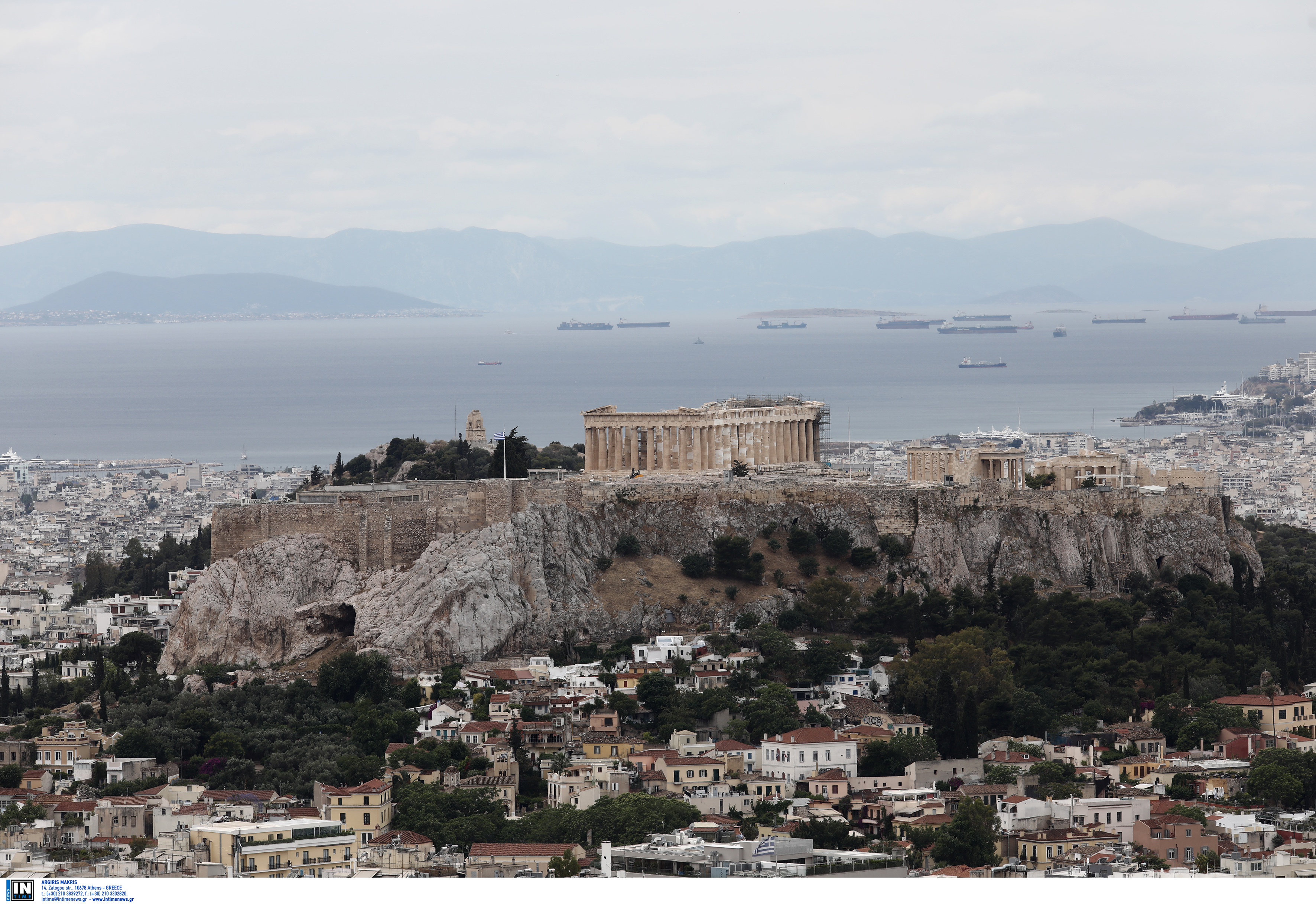
In Athens, mostly sunny skies are forecast, with temperatures ranging from 15-27°C. Northerly winds will reach 5 Beaufort and locally 6 Beaufort in eastern Attica before weakening in the evening.
Thessaloniki will also remain sunny, apart from a few thin clouds early in the morning. Temperatures will range from 13-25°C, with light variable winds of 2-3 Beaufort turning southerly in the afternoon.
According to meteo.gr, temperatures in central Athens will range from 16-26°C, while central Thessaloniki will see 16-24°C.
Weather change begins Thursday
Wednesday is expected to remain relatively mild and mostly settled, with thin clouds becoming denser later in northwestern Greece.
The next shift is expected from Thursday, October 8, when winds will turn southwesterly and the likelihood of rain will increase, initially in western and northwestern Greece.
Forecaster Dimitris Ziakopoulos expects the first signs of the change on Thursday, with rainfall becoming more widespread toward the weekend. By Saturday, rain could extend into central parts of the country and Macedonia.
Another forecast, by meteorologist Theodoros Kolydas, places the main deterioration slightly later, on Saturday, October 10, or Sunday, October 11. His forecast for October 5-19 shows temperatures initially rising, with the highest readings expected around October 9-10, before a clearer drop after October 10-11.
At the same time, the probability of significant rainfall is expected to increase.
Current forecast data does not indicate a strong signal for substantial rainfall in Athens, Thessaloniki or Larissa. Heraklion, however, is showing a clearer tendency toward rain.
Meteorologist Klearchos Marousakis has described the coming days as a “summer-like week,” with temperatures reaching 27-28°C. He expects conditions to remain summer-like through roughly Friday before a new weather system approaches from the west between Friday and Saturday.
The western and northwestern parts of Greece are expected to be the first areas affected, with the weekend emerging as the focus of the latest forecasts for a broader change in weather.